 ≈ 45 daq. masofadaKirstenbosch National Botanical Garden
- Masofa
- 24 km
 TravelHub
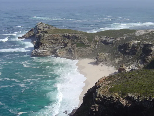
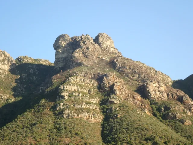
Living along the peninsula means choosing your settlement by ridge and wind exposure, as gale-force gusts either sweep your street bare or pass overhead completely.
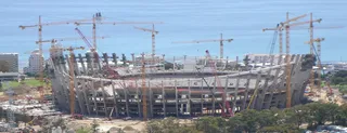 Cape Town Stadium
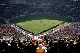 FNB Stadium
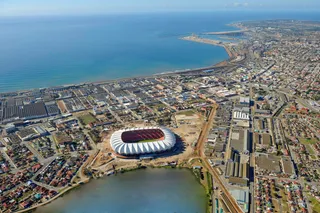 Nelson Mandela Bay Stadium
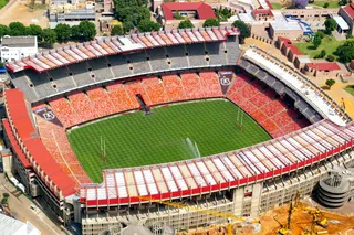 Ellis Park Stadium
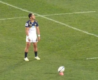 Loftus Versfeld Stadium
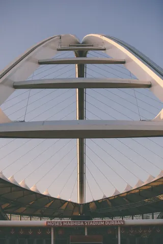 Moses Mabhida Stadium
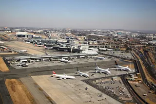 OR Tambo International Airport
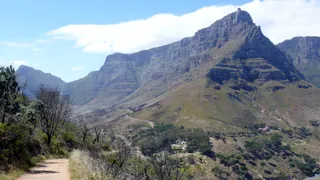 Table Mountain National Park
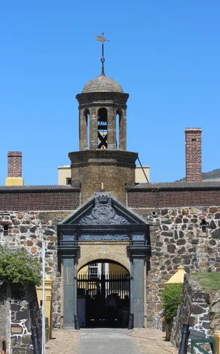 Castle of Good Hope
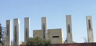 Apartheid Museum
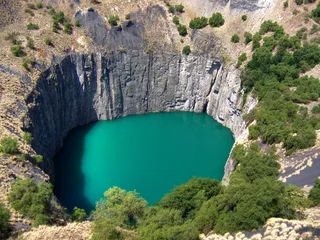 Big Hole
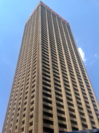 Carlton Centre
 Chief Dawid Stuurman International Airport
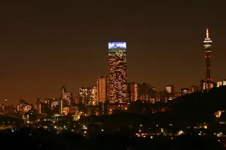 Hillbrow Tower
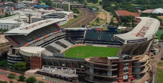 Kings Park Stadium
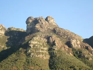 Kirstenbosch National Botanical Garden
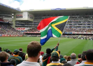 Newlands Stadium
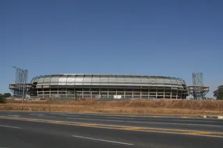 Orlando StadiumPonte City Apartments
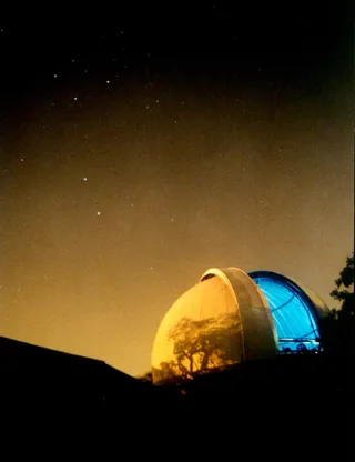 Royal Observatory, Cape of Good Hope
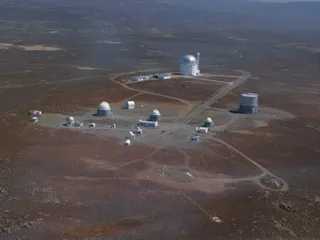 South African Astronomical Observatory
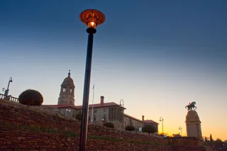 Union Buildings
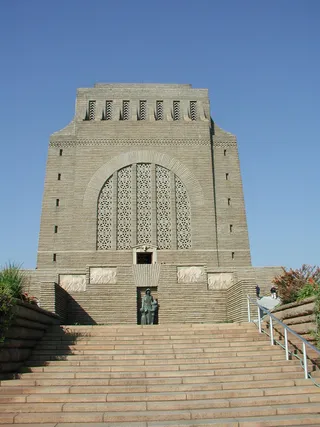 Voortrekker Monument
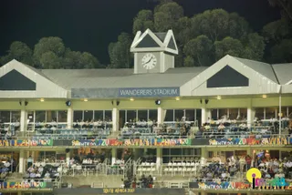 Wanderers Stadium
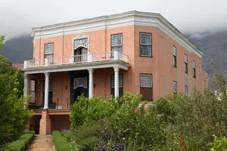 Rust en Vreugd
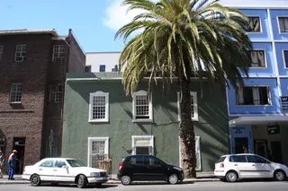 Palm Tree Mosque
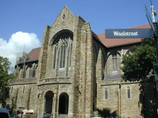 St. George's Cathedral
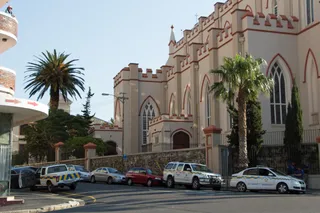 St. Mary's Cathedral
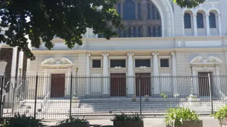 Gardens Shul
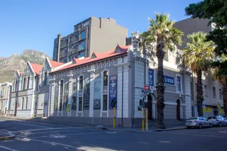 District Six Museum
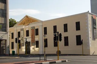 Slave Lodge
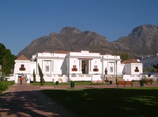 South African National Gallery
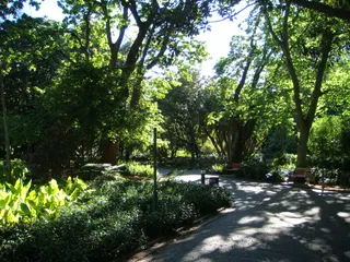 Company's Garden
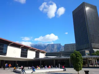 Golden Acre
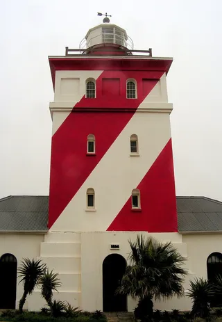 Green Point Lighthouse
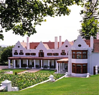 Groote Schuur
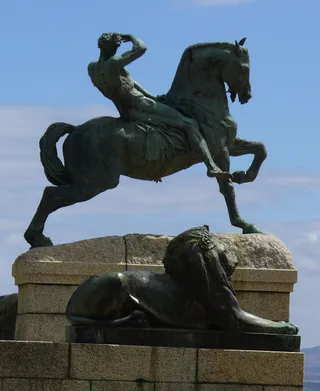 Rhodes Memorial
 Triangle House
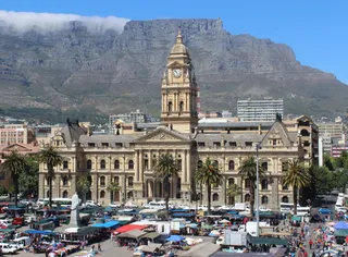 Cape Town City Hall
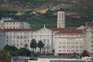 Groote Schuur Hospital
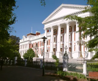 Houses of Parliament
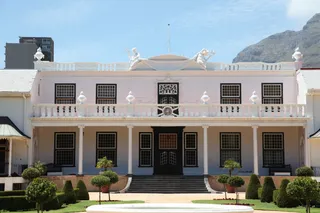 Tuynhuys
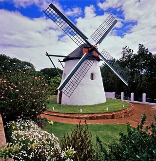 Mostert's Mill
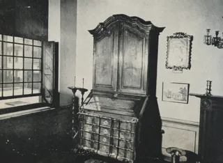 Koopmans-de Wet House
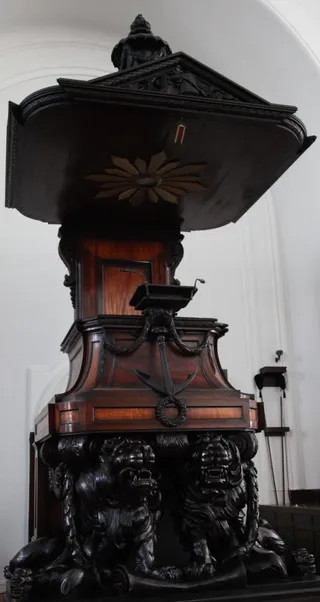 Groote Kerk
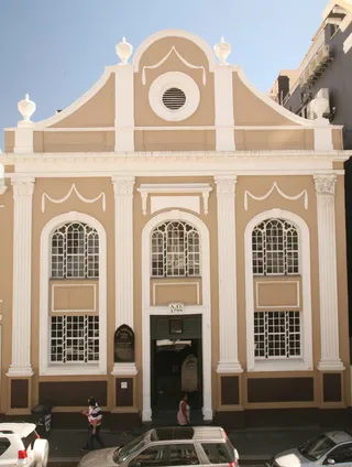 South African Sendinggestig Museum
 Arderne Gardens
 De Waal Park
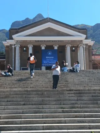 University of Cape Town
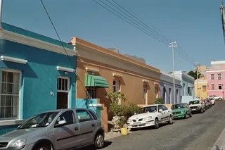 Bo-Kaap
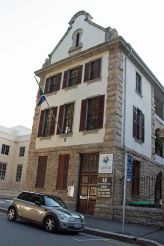 Huguenot Memorial Building
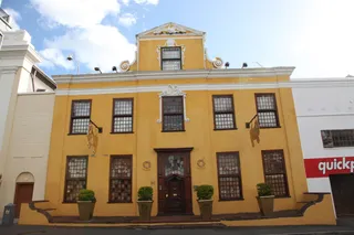 Martin Melck House
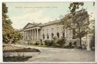 National Library of South Africa
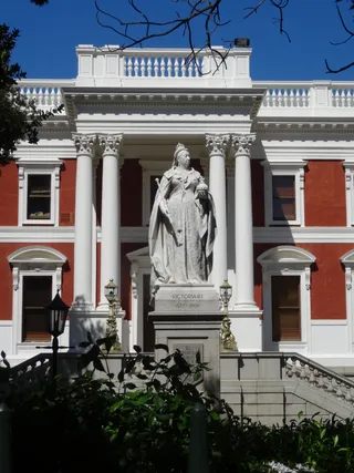 Queen Victoria
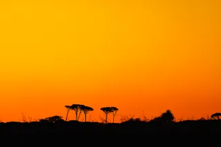 Rondebosch Common
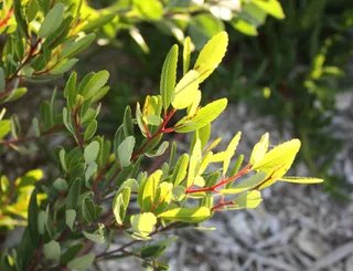 Signal Hill
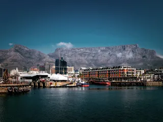 Table Mountain
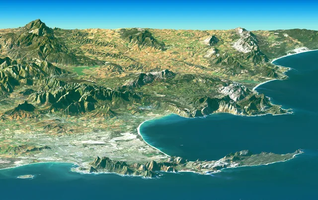
 marks the northern wall above the bay, while the ridge stretches south toward Cape Point and the Cape of Good Hope. Sandy flats connect this former island to the interior mainland. Settling along the coast means navigating sharp local microclimates shaped entirely by altitude, aspect, and sheer ocean currents.
Winter frontal systems roll in from the west to bring cool rains, while summer conditions unleash heavy southeasterly winds that can blow uninterrupted for days. Rainfall totals collapse dramatically between the mountain crests and the southern cliffs, leaving coastal settlements dry while peaks remain capped in thick cloud.
 ≈ 4 soat 10 daq. masofadaPort-elizabet
Kerakli joyni topolmadingizmi? Qidiruv tizimi har qanday tilni tushunadi. Qidiruvni ochish