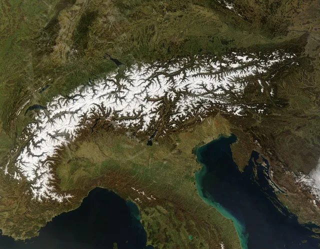
 ≈ 35 min awayAlps
- Distance
- 12 km
 TravelHub
Living in high alpine settlements demands reliance on rail networks and cable cars, as several resort villages forbid private motor vehicles entirely.
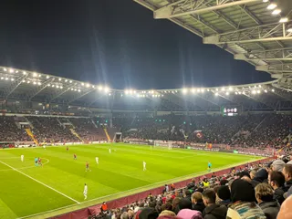 Stade de Genève
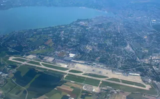 Geneva International Airport
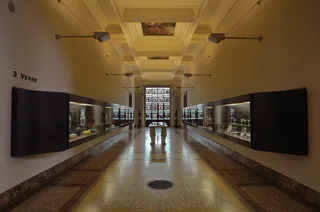 Ariana Museum
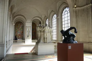 Museum of Art and History Geneva
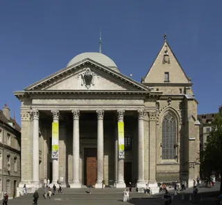 St. Pierre Cathedral
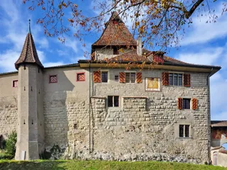 Kyburg Castle
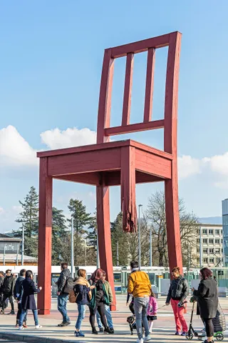 Broken Chair
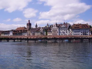 Chapel Bridge
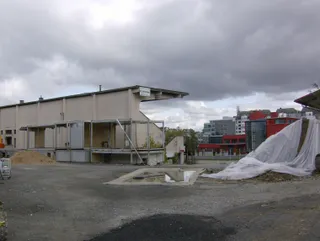 Charmilles Stadium
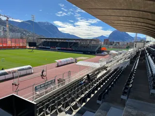 Cornaredo Stadium
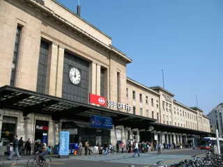 Genève-Cornavin railway station
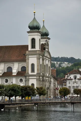 Jesuit Church, Lucerne
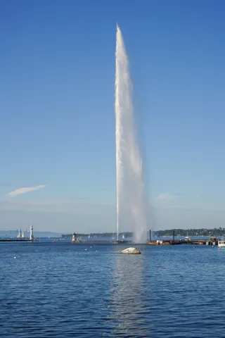 Jet d'Eau
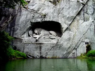 Lion Monument
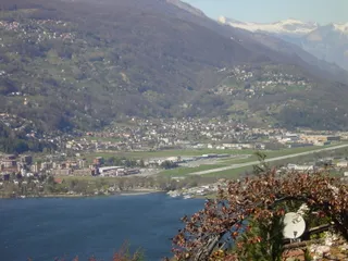 Lugano Airport
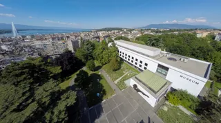 Natural History Museum of Geneva
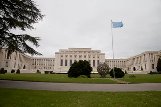 Palace of Nations
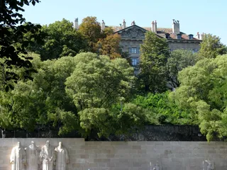 Reformation Wall
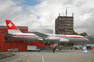 Swiss Museum of Transport
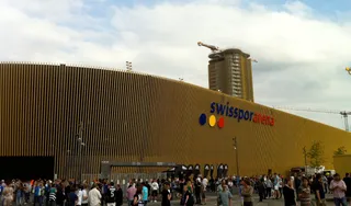 thermoplan arena
Alpine topography dictates daily routines across the ranges. Valley floors connect to higher altitudes through aerial tramways, cogwheel trains, and footpaths. Several permanent settlements restrict private combustion vehicles, forcing long-term residents to haul groceries and luggage on public railways or village electric carts.
Glacial retreat reshapes mountain work and safety across all elevations. Permafrost degradation increases rockfall risks, while seasonal warming disrupts summer glacier skiing and valley water runoff. Living at these altitudes requires constant monitoring of trail conditions, cable car operation schedules, and avalanche warning systems.
No free-housing hosts here yet — the nearest city with them:
Milan≈ 35 min awayAlps ≈ 2 hr 10 min away1,139 hostsMilan
 ≈ 3 hr 30 min away1,154 hostsLyon
Can’t find the place you need? Search understands any language. Open search