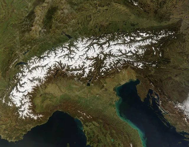
 ≈ 35 Min. entferntAlpen
- Entfernung
- 12 km
 TravelHub
Living in high alpine settlements demands reliance on rail networks and cable cars, as several resort villages forbid private motor vehicles entirely.
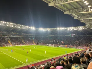 Stade de Genève
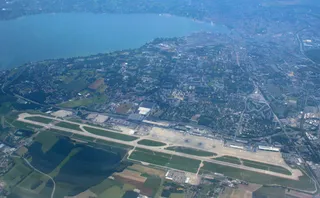 Flughafen Genf
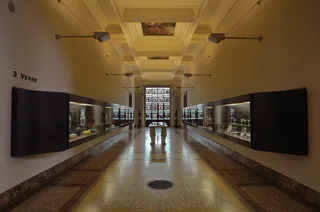 Musée Ariana
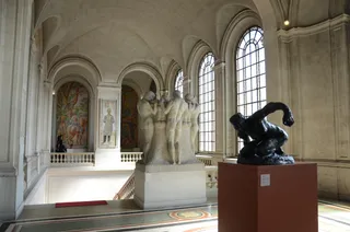 Musée d'Art et d'Histoire de Genève
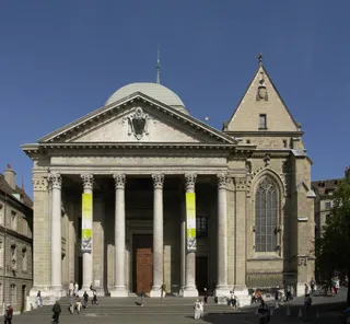 Kathedrale Sankt Peter
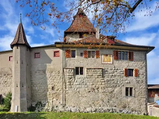 Schloss Kyburg
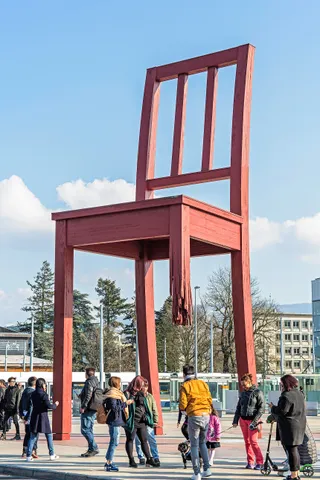 Broken Chair
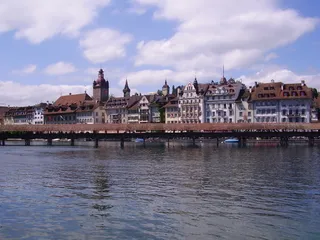 Kappelbrücke
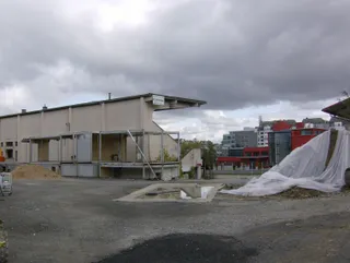 Stade des Charmilles
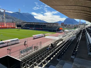 Stadio di Cornaredo
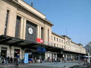 Bahnhof Genf-Cornavin
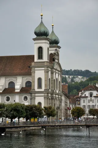 Jesuitenkirche St. Franz Xaver mit Sakristei und Kirchenschatz
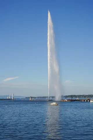 Jet d’eau
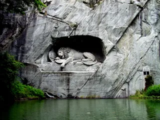 Löwendenkmal
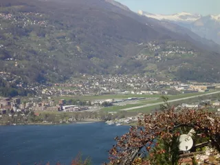 Flughafen Lugano
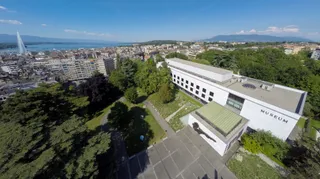 Naturhistorisches Museum Genf
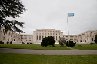 Palais des Nations
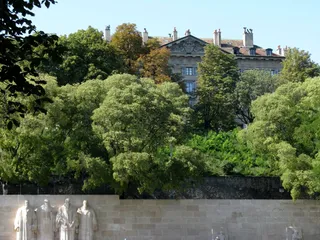 Reformationsdenkmal
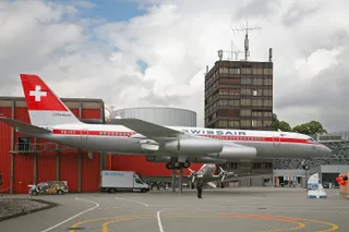 Verkehrshaus der Schweiz
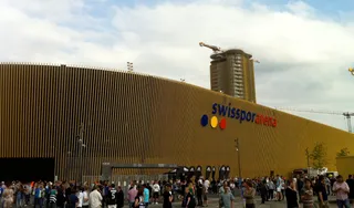 thermoplan arena
Alpine topography dictates daily routines across the ranges. Valley floors connect to higher altitudes through aerial tramways, cogwheel trains, and footpaths. Several permanent settlements restrict private combustion vehicles, forcing long-term residents to haul groceries and luggage on public railways or village electric carts.
Glacial retreat reshapes mountain work and safety across all elevations. Permafrost degradation increases rockfall risks, while seasonal warming disrupts summer glacier skiing and valley water runoff. Living at these altitudes requires constant monitoring of trail conditions, cable car operation schedules, and avalanche warning systems.
Hier gibt es noch keine Gastgeber für kostenlose Unterkünfte – die nächstgelegene Stadt mit ihnen:
Mailand≈ 35 Min. entferntAlpen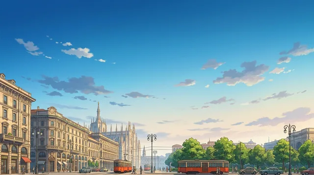 ≈ 2 Std. 10 Min. entfernt1.139 GastgeberMailand
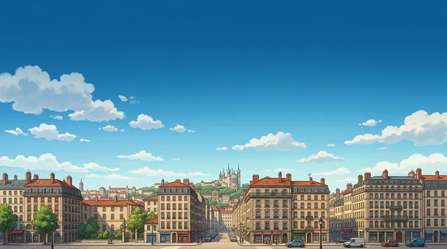 ≈ 3 Std. 30 Min. entfernt1.154 GastgeberLyon
Ort nicht gefunden? Die Suche versteht jede Sprache. Suche öffnen