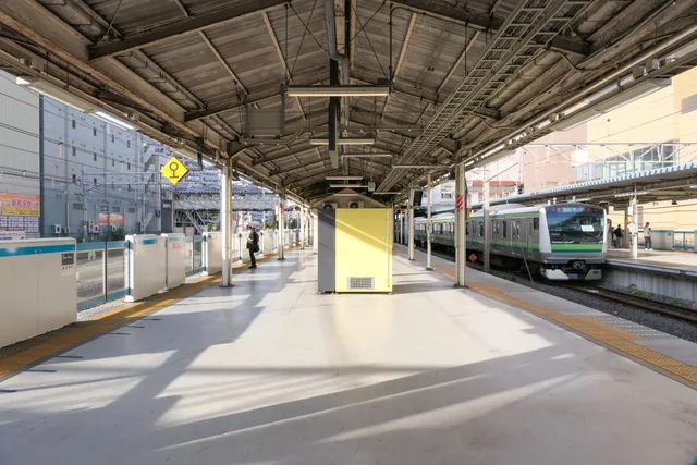
 ≈ 35 min awayHigashi-Kanagawa Station
- Distance
- 15 km
 TravelHub
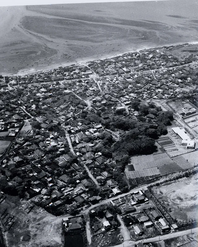
Industrial docks and maritime shipping define the shoreline, meaning daily life here revolves around coastal transit corridors rather than open beaches.
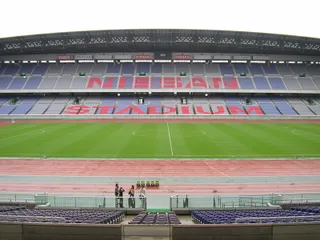 International Stadium Yokohama
 Higashi-Kanagawa Station
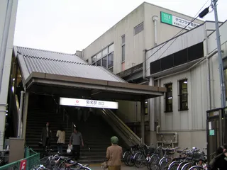 Kikuna Station
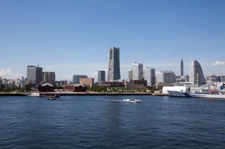 Minato Mirai 21
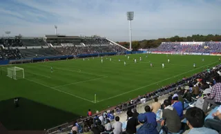 Nippatsu Mitsuzawa Stadium
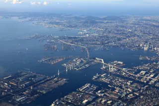 Port of Yokohama
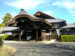 Sōji-ji Temple
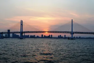 Yokohama Bay Bridge
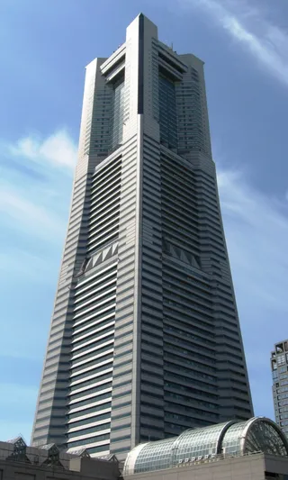 Yokohama Landmark Tower
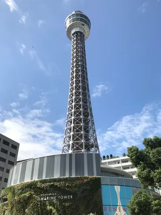 Yokohama Marine Tower
Tokyo Bay borders the shores of Tokyo, Kanagawa, and Chiba along the southern part of Honshu. Connected directly to the Pacific Ocean through the Uraga Channel, the inlet sustains extensive shipping lanes and maritime facilities that support the densest population belt and manufacturing hub in Japan.
The waters hold notable diplomatic significance. Commodore Matthew Perry sailed his naval vessels into the bay to initiate foreign trade pacts with the Tokugawa shogunate. Later, the official surrender documents marking the close of World War II were signed aboard the anchored battleship USS Missouri.
No free-housing hosts here yet — the nearest city with them:
Tokyo≈ 35 min awayHigashi-Kanagawa Station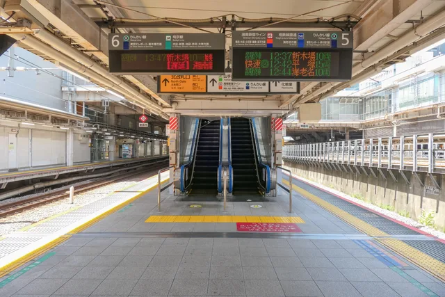 ≈ 40 min awayŌsaki Station
 ≈ 50 min away94 hostsTokyo
Can’t find the place you need? Search understands any language. Open search