跳转至内容
TravelHub
橫濱市 · 日本

東京灣: 周边有什么、如何前往、何时最合适 · 2026年

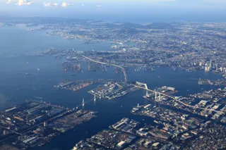
Industrial docks and maritime shipping define the shoreline, meaning daily life here revolves around coastal transit corridors rather than open beaches.

地点地图
关于此地

Tokyo Bay anchors Japan's most populous industrial corridor, linking regional commerce to the open ocean.

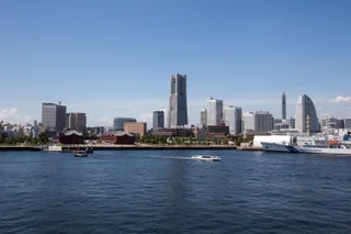
Tokyo Bay borders the shores of Tokyo, Kanagawa, and Chiba along the southern part of Honshu. Connected directly to the Pacific Ocean through the Uraga Channel, the inlet sustains extensive shipping lanes and maritime facilities that support the densest population belt and manufacturing hub in Japan.

继续阅读

The waters hold notable diplomatic significance. Commodore Matthew Perry sailed his naval vessels into the bay to initiate foreign trade pacts with the Tokugawa shogunate. Later, the official surrender documents marking the close of World War II were signed aboard the anchored battleship USS Missouri.

相关组织
  • Matthew Perry ExpeditionThe naval mission that opened diplomatic trade treaties with the Tokugawa shogunate.
  • USS MissouriThe anchored vessel where delegates signed the Japanese Instrument of Surrender.
  • Industrial ShorelineDense coastal infrastructure limits public recreational access across waterfront sections.
事实信息
  • Tokyo Bay links to the Pacific Ocean by way of the Uraga Channel.
  • The surrounding bay area is the most populous and industrialized territory in Japan.
  • The Japanese Instrument of Surrender concluding World War II was signed aboard USS Missouri in the bay.
来源:Wikipedia
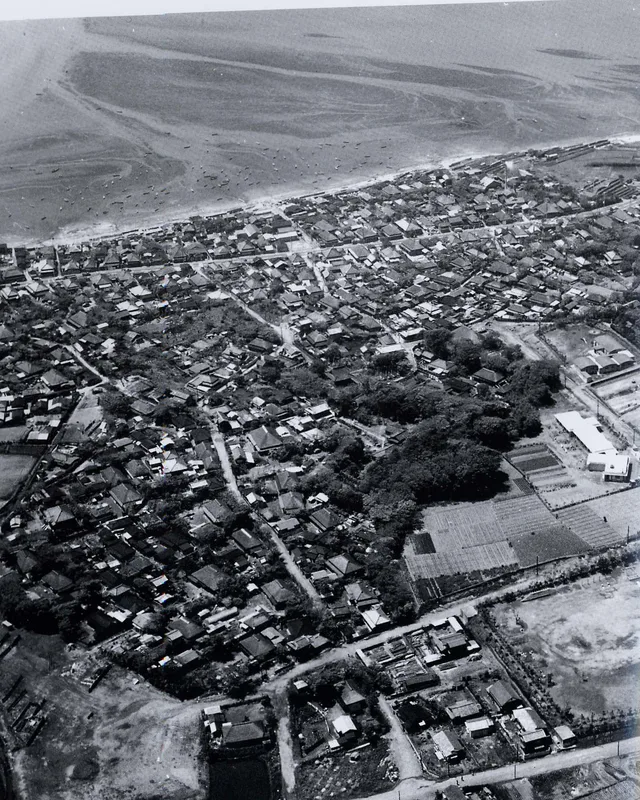
東京灣 的影像5 张照片
Shinichi Sugiyama from tokyo, japan · cc-by-sa-2.0 · 2008年3月1日
Masahiro Hayata from Tokyo, Japan · cc-by-sa-2.0 · 2007年3月4日
J. O. Snyder · pdm

交通与住宿

此处暂无免费住宿的房东 — 最近的此类城市为:

東京都94 位房主 · 50分钟
2 个来源 · 截至 2026年11月4日
来源:TravelHub · OurAirports (public domain)