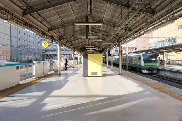
 ≈ 35 хв у дорозіХіґаші-Канаґава
- Відстань
- 15 км
 TravelHub
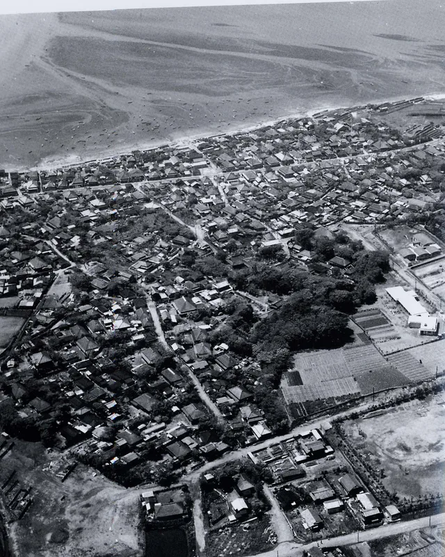
Industrial docks and maritime shipping define the shoreline, meaning daily life here revolves around coastal transit corridors rather than open beaches.
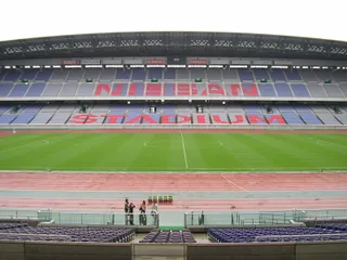 Міжнародний стадіон
 Хіґаші-Канаґава
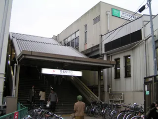 Кікуна
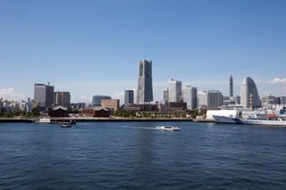 Мінато Мірай 21
 Міцудзава (стадіон)
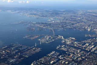 Port of Yokohama
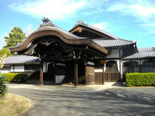 Соджі-джі
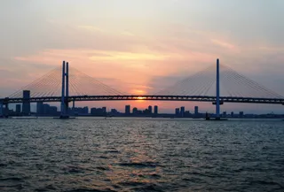 Yokohama Bay Bridge
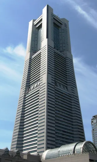 Йокогама Landmark Tower
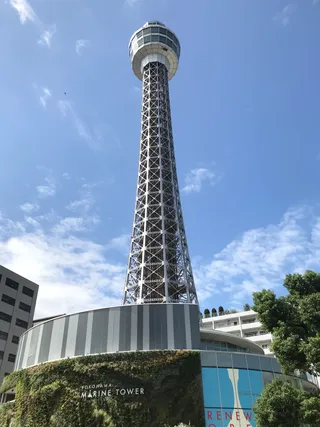 Yokohama Marine Tower
Tokyo Bay borders the shores of Tokyo, Kanagawa, and Chiba along the southern part of Honshu. Connected directly to the Pacific Ocean through the Uraga Channel, the inlet sustains extensive shipping lanes and maritime facilities that support the densest population belt and manufacturing hub in Japan.
The waters hold notable diplomatic significance. Commodore Matthew Perry sailed his naval vessels into the bay to initiate foreign trade pacts with the Tokugawa shogunate. Later, the official surrender documents marking the close of World War II were signed aboard the anchored battleship USS Missouri.
Тут поки немає хостів, що пропонують безкоштовне житло — найближче місто з ними:
Токіо≈ 35 хв у дорозіХіґаші-Канаґава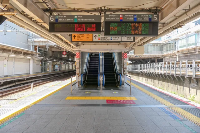 ≈ 40 хв у дорозіОсакі
 ≈ 50 хв у дорозі94 хостиТокіо
Не можете знайти потрібне місце? Пошук розуміє будь-яку мову. Відкрити пошук