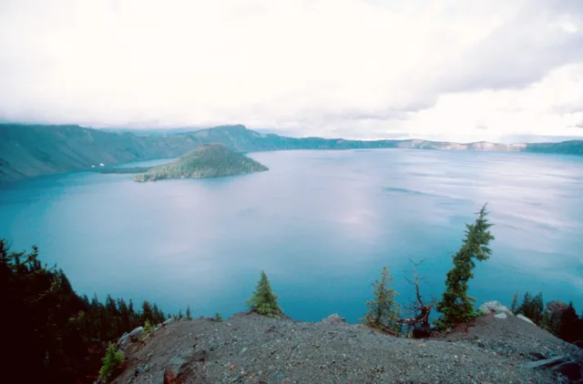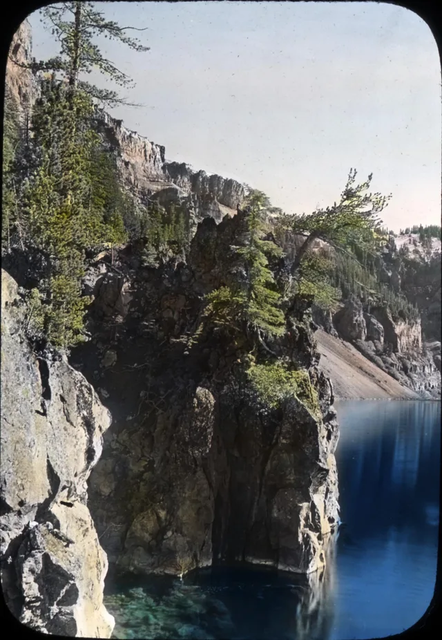



























































Who would have thought that America is so diverse... Besides the family-friendly Myrtle, posh Miami, bustling New York, and colorful Vegas, there are places here that America itself seems not to have reached yet... We were driving north from San Francisco and were surprised to learn that everything here is a zone of high volcanic activity. Not just "here," but the entire top-left corner of the USA on the map. No, we had heard about the monstrous earthquake in San Francisco at the beginning of the century and the Los Angeles tremors, but we never expected to see remnants of magma and rocks scattered by eruptions for hundreds of kilometers))) How do you know if you are far from Lassen Volcanic National Park? It's very simple!! 1) Black dots of rocks will start appearing in the usual yellow-brown landscape outside the window. Here and there. It's unclear who put them there. 2) Burnt-out gas stations will appear, selling gas three times cheaper than usual and filling you up directly from a huge pipe laid somewhere further. 3) One morning, the bed will shake along with the walls of the house so that you wake up realizing that seismology is a useful science)) At least that's how it was for us=) The park itself is a bunch of old rock-ash with a large volcano in the middle and small stinky sulfur vents on the sides. We only stopped there because it was very much on the way. Otherwise, only if you have tons of time. This landscape will get boring after 3 days)) What's cool are the mega-blue lakes with the entire periodic table inside. You shouldn't swim, but looking is fine. Without their blueness, the eye would have died of boredom. Oh, how!) Therefore, we didn't linger there (and there was nowhere to stay anyway), and we rushed to the main point of the day - Crater Lake. We didn't know then that it would be one of the main points of the entire trip... We arrived there just in time, about 2 hours before sunset, so we managed to take the best spot in the world - on the top of a volcano that exploded several thousand years ago. Impressive, right?) The story is: a long time ago (6000 years ago), the local largest volcano stood here (one of the largest in the world at that time). Then it went and erupted. And it blew off a kilometer of itself with all its insides. Groundwater rushed to extinguish it, and that's how the 9th deepest lake in the world and the first in North America - Crater Lake - was formed. 594 meters of one of the purest water treasures on the planet. Imagine. You are driving, the road is constantly going slightly up. The forest is interspersed with huge rocks. Suddenly you finally drive out to a height that the trees have not overcome in these millennia. Here is crushed stone and bare earth. Nothing else is visible. You drive up to the edge of the hill, behind which, of course, there should be another hill, and you drop your jaw. Below you is a 10-kilometer lake in a crater, with an island in the center just like in a picture. The island, as expected, is called Wizard Island.) The water reflects only the sky simply because it has nothing else to reflect. You climb to the very top of the rim left by the volcano and watch one of the most beautiful sunsets in your life. You can see far, far away, the scorched earth turns crimson red, as if reliving those events of 6000 years ago again. A giant shadow moves over the lake and poof!!! The sun is gone. Yeah)) The road to the top takes 15 minutes, with stops and photos - 40 minutes. The viewpoint is Watchman lookout. There are many of them there, but this one is definitely the coolest, be sure to visit it. And then you get in the car and drive to Yellowstone. At least, that's how it was for us...


 +2