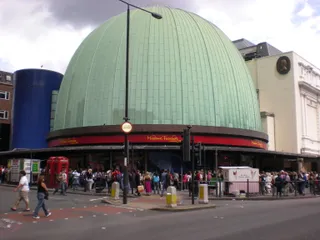
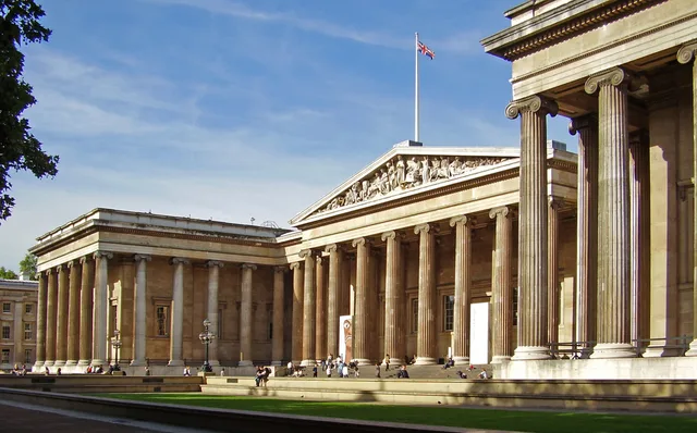
 ≈ 15 ր հեռավորության վրաԲրիտանական թանգարան
- Հեռավորությունը
- 1,1 կմ
 TravelHub
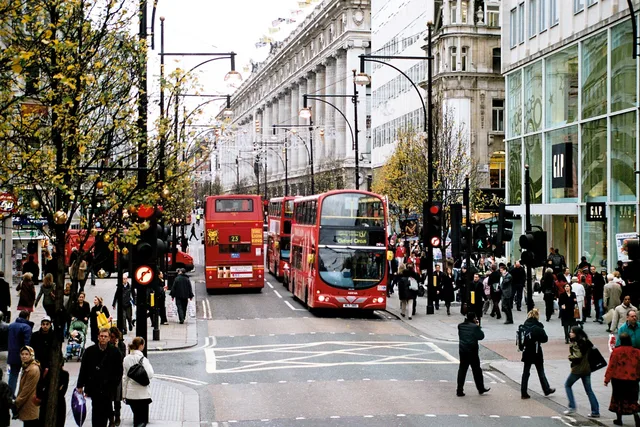
Long-term residents treat the main thoroughfare as a transit obstacle rather than a shopping strip, routing daily commutes through Marylebone and Soho backstreets to avoid the pedestrian gridlock.
Running between Marble Arch and Tottenham Court Road, the corridor marks the boundary separating Marylebone and Fitzrovia to the north from Mayfair and Soho to the south. Surface traffic along the carriageway is restricted to buses and licensed taxis, making cross-town bus journeys direct while pushing private vehicles onto parallel residential lanes.
The route originated as a Roman highway connecting ancient settlements and later bore the name of the Tyburn before acquiring its present title. Great landowning holdings, including the Portland, Portman, and Grosvenor estates, shaped the surrounding blocks from former fields into dense commercial developments facing the old coaching road.
Underground connectivity centers on major stations along the Central line, including the junction at Oxford Circus designed by John Nash. Deep rail connections through the Elizabeth line provide dual-ended access points extending toward Hanover Square and Dean Street, allowing commuters to bypass congested platform entrances during peak hours.
Այստեղ դեռ անվճար կացարան տրամադրող հյուրընկալողներ չկան. ամենամոտ քաղաքը, որտեղ նրանք կան՝
ՓարիզԻնչ են գրում այցելուները Google Maps-ում
Google Maps-ի վարկանիշն ու թարմ կարծիքները կբեռնվեն ըստ պահանջի։
≈ 15 ր հեռավորության վրաԲրիտանական թանգարան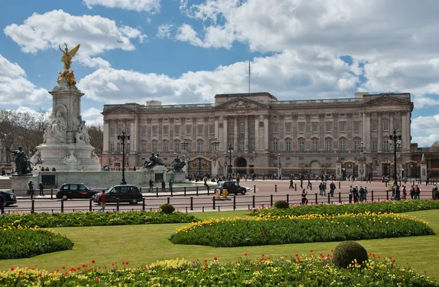 ≈ 20 ր հեռավորության վրաԲուքինգեմյան պալատ
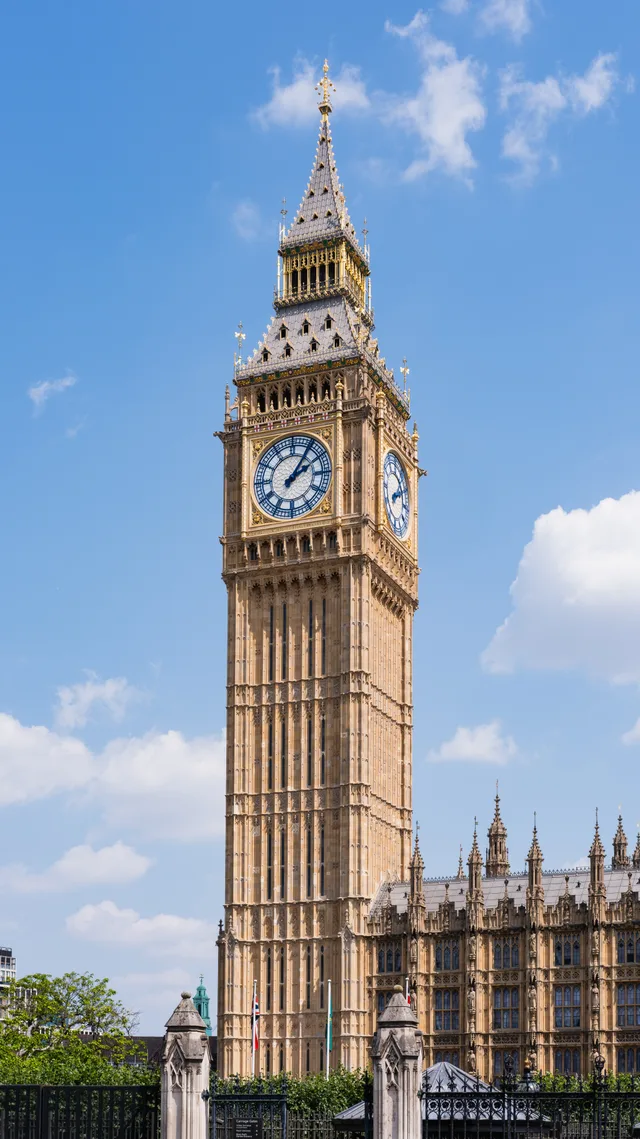 ≈ 25 ր հեռավորության վրաԲիգ Բեն
Չե՞ք գտնում անհրաժեշտ վայրը: Որոնումը հասկանում է ցանկացած լեզու: Բացել որոնումը