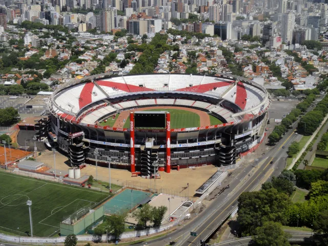
 à ≈ 30 minstade Monumental Antonio Vespucio Liberti
- Distance
- 9,3 km
 TravelHub
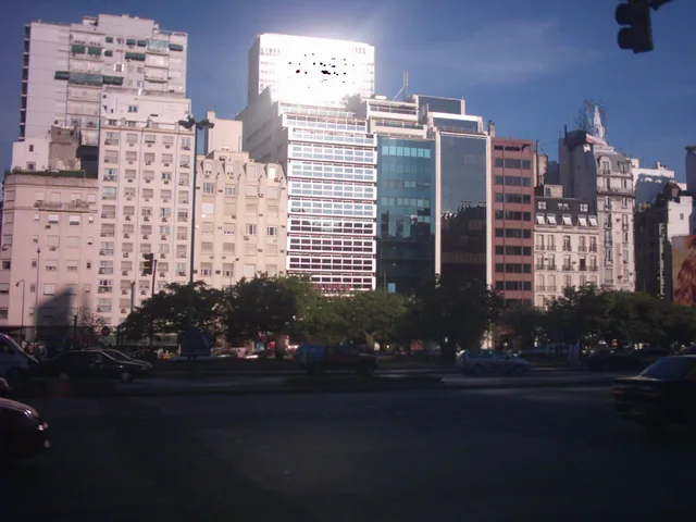
Residents quickly learn to bypass the multi-stage surface crossings by ducking underground, where interconnected subway concourses link the downtown routes without competing against surface traffic.
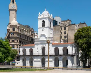 Cabildo de Buenos Aires
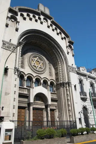 synagogue centrale de Buenos Aires
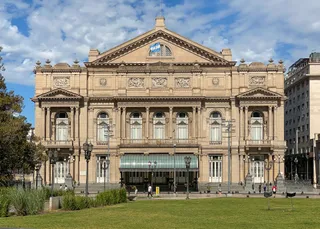 théâtre Colón
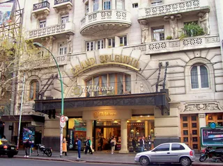 El Ateneo Grand Splendid
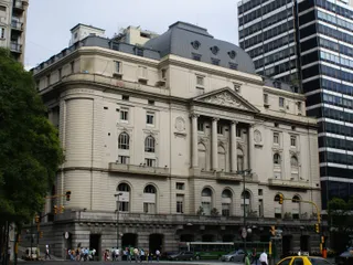 Bolsa de Comercio de Buenos Aires
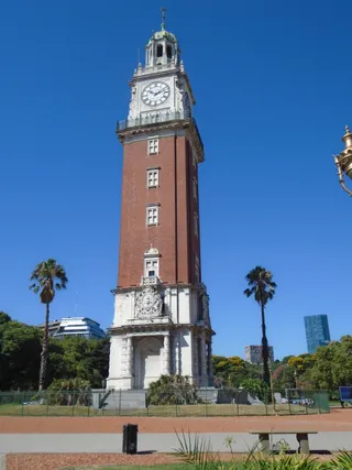 Torre Monumental
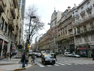 Avenida de Mayo
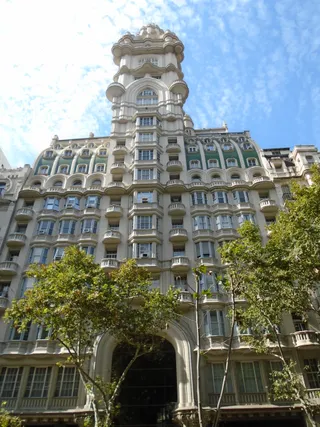 Palacio Barolo
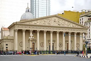 cathédrale métropolitaine de Buenos Aires
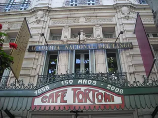 café Tortoni
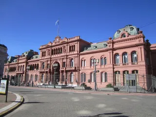 Maison rose
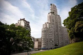 Kavanagh building
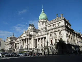 palais du Congrès de la Nation argentine
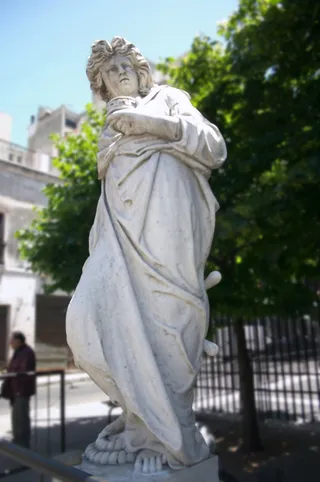 pyramide de Mai
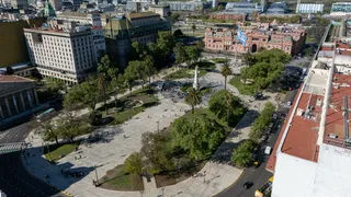 place de Mai
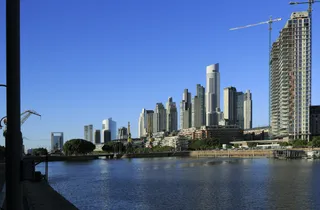 Puerto Madero
The thoroughfare was engineered to connect the northern and southern districts by clearing entire blocks within the downtown grid. Flanked by parallel streets including Cerrito, Lima, Carlos Pellegrini, and Bernardo de Irigoyen, the project required demolishing continuous parcels of private real estate. Prolonged expropriations caused severe municipal deficits, leaving downtown lots cleared or abandoned before paving finished.
Because the avenue spans the full breadth of an urban block, crossing on foot requires navigating multiple traffic signals and pedestrian islands. Residents rely instead on the underground transit network running beneath the surface. Line C runs directly along the corridor, while multiple subway routes intersect beneath the roadbed. A shared central concourse connects several lines, providing sheltered transfers across the core.
Ce que les visiteurs écrivent sur Google Maps
La note et les avis récents de Google Maps se chargent à la demande.
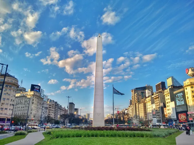 à ≈ 5 minobélisque de Buenos Aires
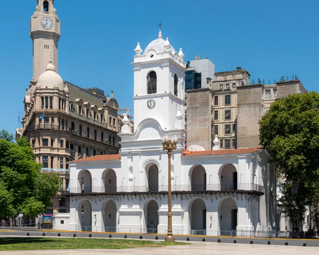 à ≈ 10 minCabildo de Buenos Aires
Vous ne trouvez pas la destination souhaitée ? La recherche prend en charge toutes les langues. Ouvrir la recherche