Zum Inhalt springen
TravelHub
Madrid · Spanien

Paseo de la Castellana: was in der Nähe ist, wie man hinkommt und wann man fährt · 2026

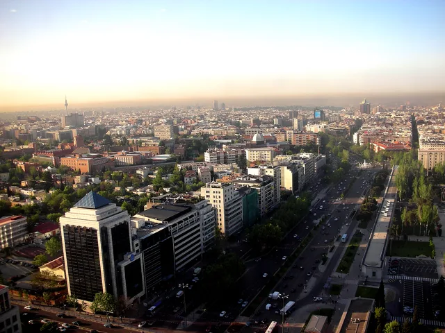
Residents settle in the adjoining blocks of Chamberí or Salamanca to escape the avenue's constant commuter flow, crossing the multi-lane boulevard daily to reach corporate desks and transit hubs.

Paseo de la Castellana · CC BY-SA 4.0

Karte der Orte
Über den Ort

Paseo de la Castellana forms Madrid's primary north-south spine, connecting central cultural squares with northern commercial high-rises.

The avenue originated along the natural watercourse of the Arroyo de la Castellana, where a cold spring documented by Miguel de Cervantes once supplied Madrid. Channelling the stream allowed urban planners to extend the central promenade northward from Paseo del Prado and Paseo de Recoletos, creating a continuous transport spine starting at Plaza de Colón.

Weiterlesen

Secundino Zuazo and Indalecio Prieto directed the boulevard toward the Nuevos Ministerios complex, driving modern urban growth toward the northern highway junction at Nudo Norte. The roadway divides Madrid, separating the western residential districts of Chamberí and Tetuán from the eastern embassy rows and upscale blocks of Salamanca and Chamartín.

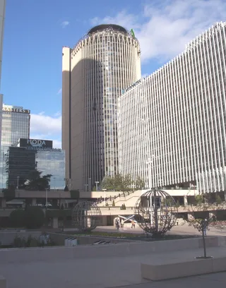
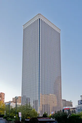
Major commercial developments anchor the northern stretches, grouping corporate headquarters within the AZCA district, the inclined towers of Puerta de Europa, and the CTBA skyscraper cluster. Daily commutes converge around landmarks like the Santiago Bernabéu Stadium, the Ministry of Defence headquarters, and foreign diplomatic missions.

Verbände
  • AZCAHigh-density corporate towers and underground transit hubs define this financial core.
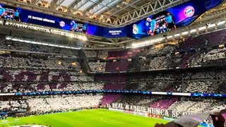
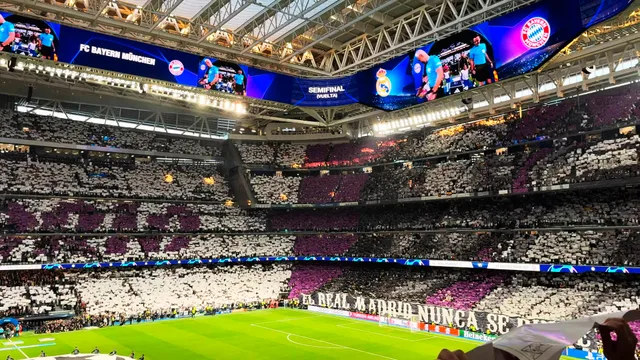
  • Santiago BernabéuMassive matchday crowds bring transit congestion and localized street closures.
  • Nuevos MinisteriosA central government complex acting as a primary junction for regional rail links.
  • CTBAProminent northern skyscrapers housing multinational corporations and premier hotels.
  • Puerta de EuropaDistinctive inclined office towers flanking the busy plaza near Chamartín station.
Fakten
  • Paseo de la Castellana continues the central urban axis formed by Paseo del Prado and Paseo de Recoletos.
  • The avenue separates the Chamberí and Tetuán districts on the west from Salamanca and Chamartín on the east.
  • Secundino Zuazo and Indalecio Prieto planned the northern expansion alongside the Nuevos Ministerios complex.
  • Major business sectors along the boulevard include the AZCA complex, Puerta de Europa, and the CTBA office towers.
Quelle: Wikipedia
Paseo de la Castellana in Bildern5 Fotos
Enrique Dans from Madrid ( Spain ). · cc-by-2.0 · 10.05.2007
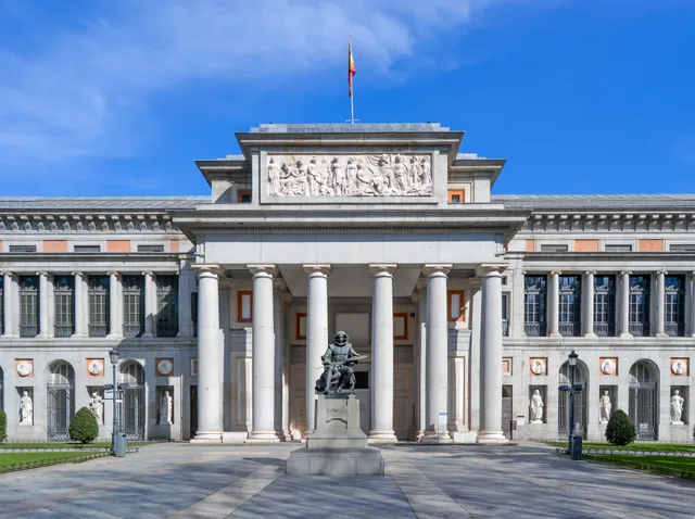
LauraHale · cc-by-sa-3.0 · 06.01.2013
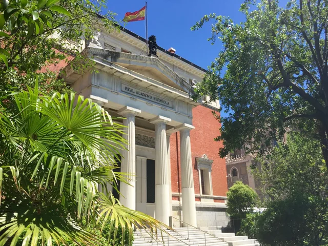
Asqueladd · cc-by-sa-3.0 · 29.06.2014

Anreise und Unterkunft

Kostenlose Aufenthalte bei GastgebernGastgeber anzeigen
In der Stadt2.190Gastgeber empfangen Gäste
2 Quellen · Stand: 3. November 2026
Quelle: TravelHub · OurAirports (public domain)