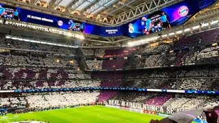
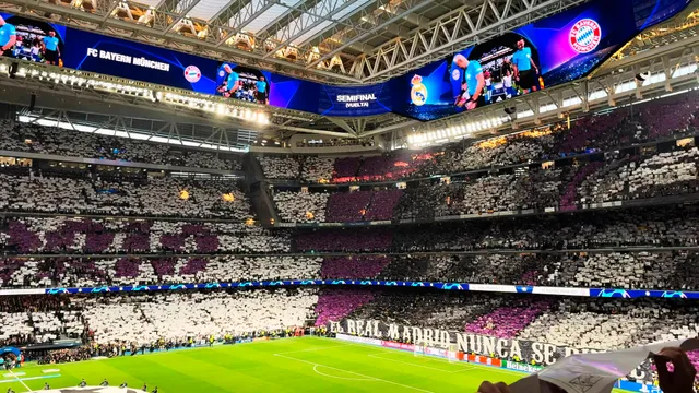
 A ≈ 15 min de distanciaEstadio Santiago Bernabéu
- Distancia
- 1,1 km
 TravelHub
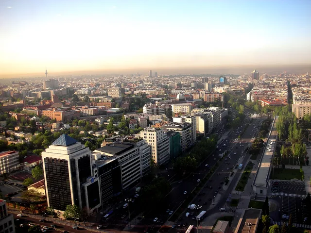
Residents settle in the adjoining blocks of Chamberí or Salamanca to escape the avenue's constant commuter flow, crossing the multi-lane boulevard daily to reach corporate desks and transit hubs.
The avenue originated along the natural watercourse of the Arroyo de la Castellana, where a cold spring documented by Miguel de Cervantes once supplied Madrid. Channelling the stream allowed urban planners to extend the central promenade northward from Paseo del Prado and Paseo de Recoletos, creating a continuous transport spine starting at Plaza de Colón.
Secundino Zuazo and Indalecio Prieto directed the boulevard toward the Nuevos Ministerios complex, driving modern urban growth toward the northern highway junction at Nudo Norte. The roadway divides Madrid, separating the western residential districts of Chamberí and Tetuán from the eastern embassy rows and upscale blocks of Salamanca and Chamartín.
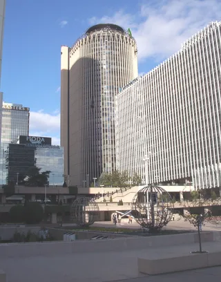
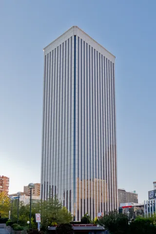
Major commercial developments anchor the northern stretches, grouping corporate headquarters within the AZCA district, the inclined towers of Puerta de Europa, and the CTBA skyscraper cluster. Daily commutes converge around landmarks like the Santiago Bernabéu Stadium, the Ministry of Defence headquarters, and foreign diplomatic missions.
A ≈ 15 min de distanciaEstadio Santiago Bernabéu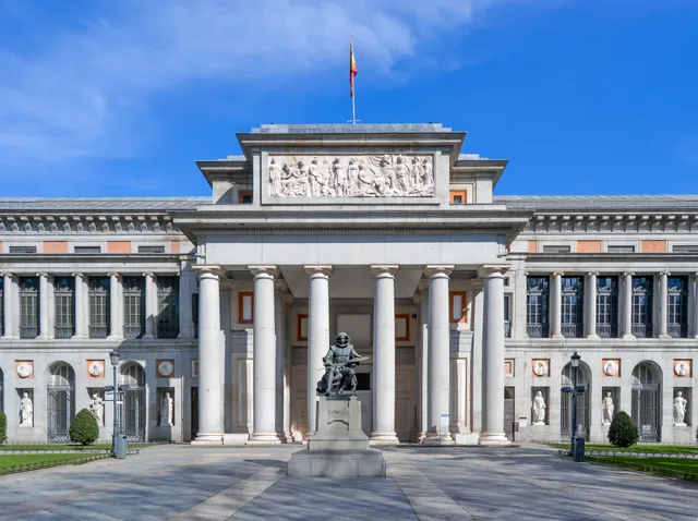 A ≈ 40 min de distanciaMuseo del Prado
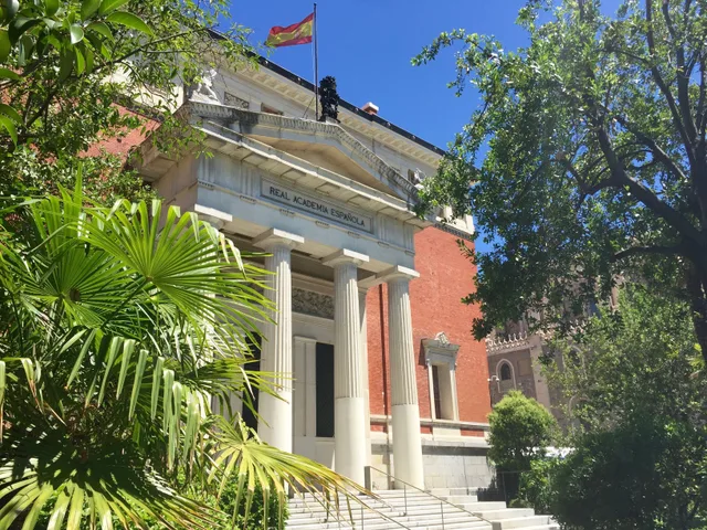 A ≈ 40 min de distanciaReal Academia Española
¿No encuentras el lugar que necesitas? La búsqueda entiende cualquier idioma. Abrir búsqueda