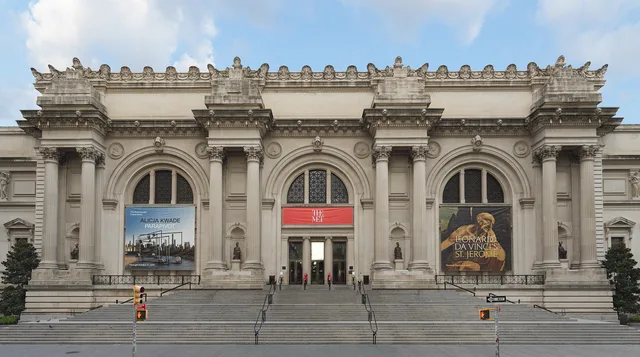
 距离 ≈ 30分钟大都會藝術博物館
- 距离
- 2.2公里
 TravelHub
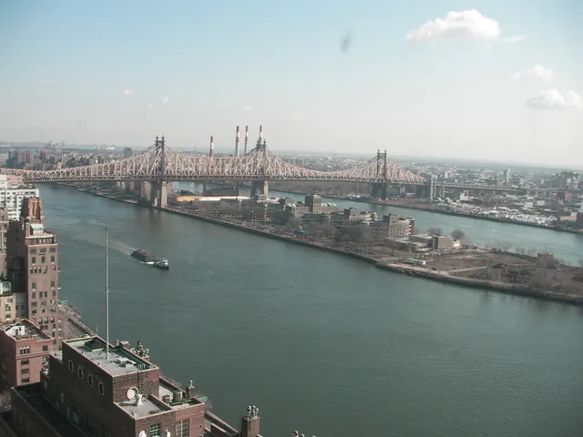
Living here means trading standard street traffic for an aerial tramway and the Red Bus shuttle, while depending on a single lift bridge for all road deliveries.
 中央公園動物園
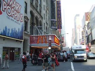 42街
 哥倫比亞大學
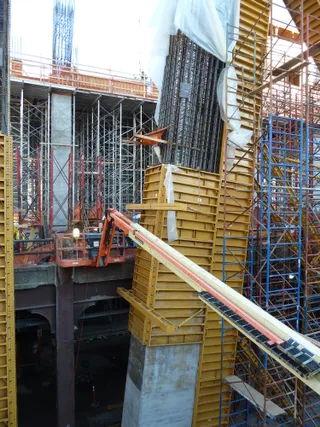 哈德遜機廠重發展計畫
 曼哈頓中城
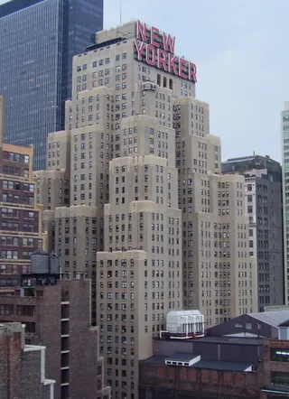 溫德姆紐約客酒店電廠
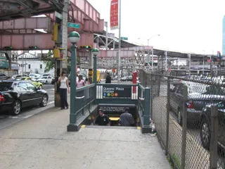 皇后廣場車站
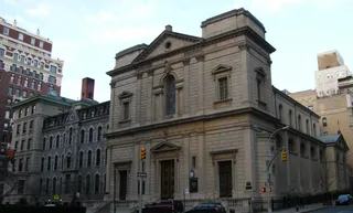 Church of Saint Ignatius LoyolaChurch of St. Ignatius Loyola Complex
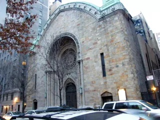 Congregation B'nai Jeshurun
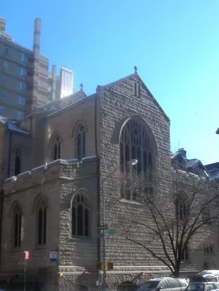 Saint Ignatius of Antioch Church
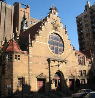 West End Collegiate Church
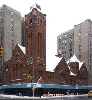 West Park Presbyterian Church
 Beacon Theater
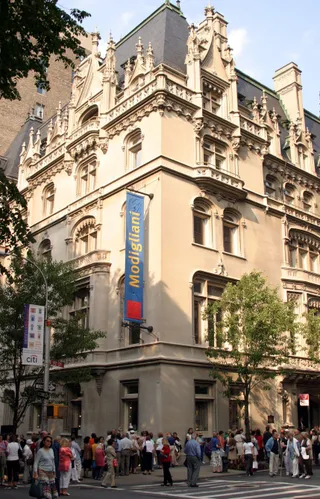 The Jewish Museum
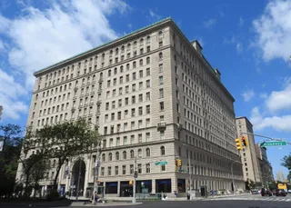 Apthorp Apartments
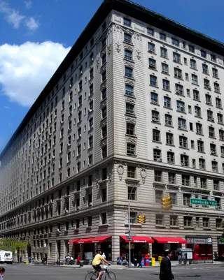 Belnord Apartments
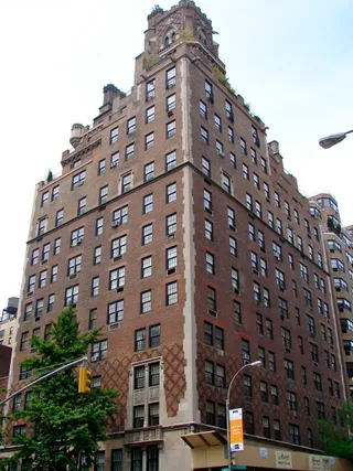 Building at 133 East 80th Street
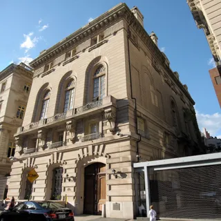 James A. Burden Jr. House and Otto H. Kahn House
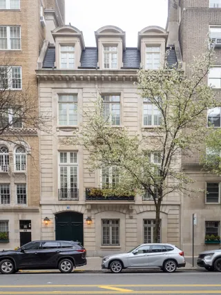 Lucy Drexel Dahlgren House
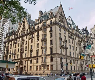 The Dakota
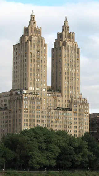 The El Dorado
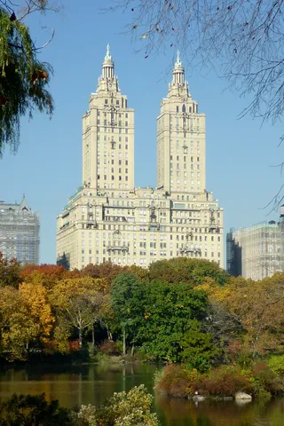 The San Remo
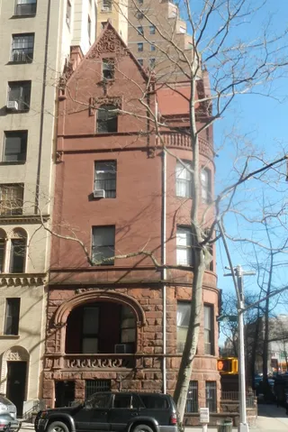 520 West End Avenue
 Andrew Carnegie Mansion
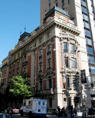 Benjamin N. Duke House
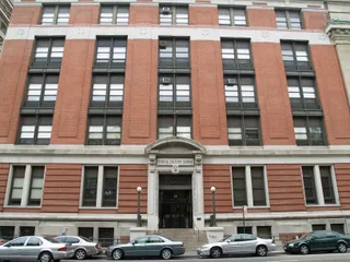 Central Park West Historic District
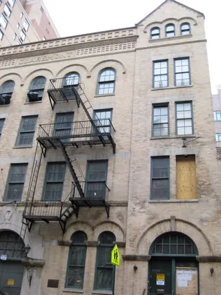 Claremont Riding Academy
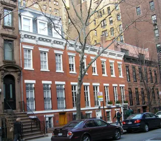 East 78th Street Houses
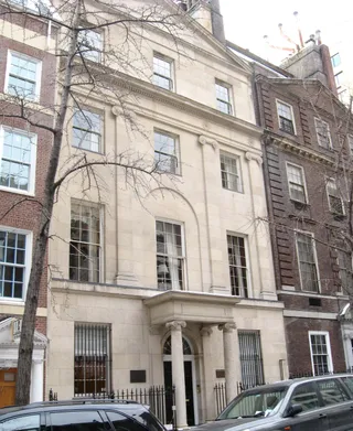 East 80th Street Houses
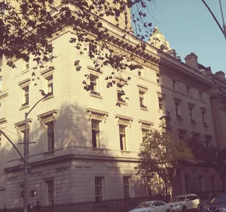 Edward S. Harkness House
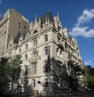 Felix M. Warburg House
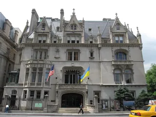 Harry F. Sinclair House
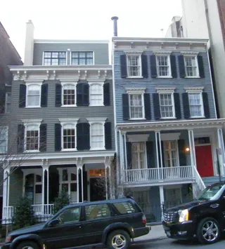 houses at 120 and 122 East 92nd Street
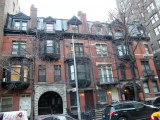 Houses at 146-156 East 89th Street
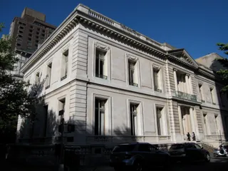 James B. Duke House
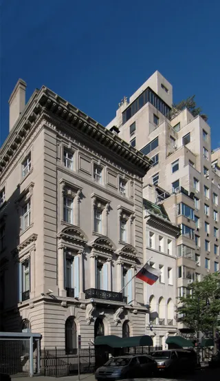 John Henry Hammond House
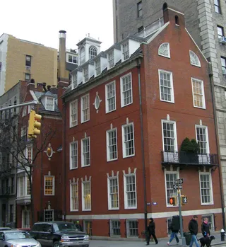 Lewis G. Morris House
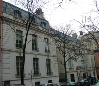 Mrs. Graham Fair Vanderbilt House
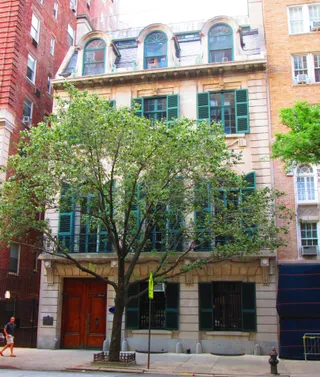 Ogden Codman House
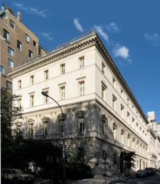 Otto H. Kahn House
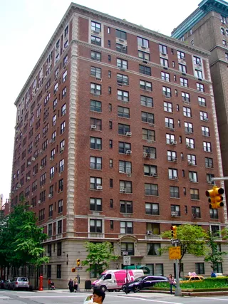 Park Avenue Historic District
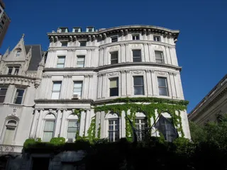 Payne Whitney House
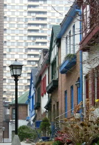 Pomander Walk
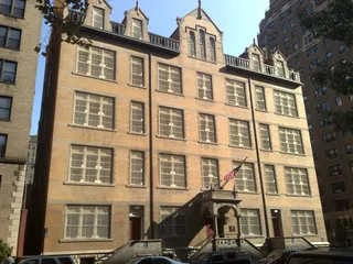 Public School 9
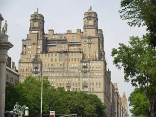 The Beresford
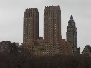 The Majestic
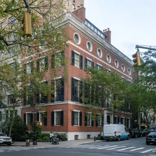 Willard D. Straight House
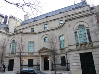 William Goadby Loew House
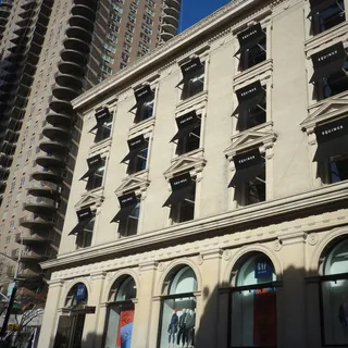 Yorkville Bank Building
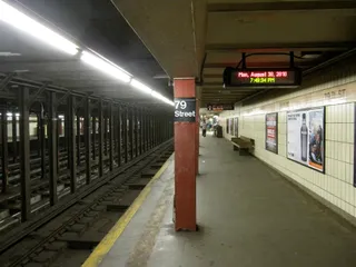 79th Street
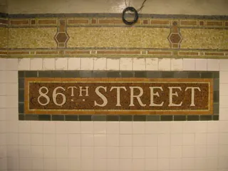 86th Street
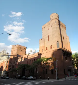 Squadron A Armory
Roosevelt Island sits directly between Manhattan and Queens as a distinct residential enclave. The city owns the land while the state urban agency leases it for housing communities called Northtown and Southtown. Daily routines avoid private driving, as car access relies entirely on a lift bridge running east to Astoria.
Transit options define life on the strip. Residents reach Midtown via an aerial tramway, local subway platforms, and river ferries, while a fare-free shuttle connects residential blocks. Commuters must plan around occasional transit outages, which complicate off-island travel for anyone navigating with mobility equipment.
访客在 Google 地图上怎么说
Google 地图的评分和最新评价将按需加载。