- 距离
- 17公里
黑山城 · 美国
藍嶺山脈: 周边有什么、如何前往、何时最合适 · 2026年
Settling into the valleys below the ridge brings steep topography and isolated transit corridors, shaping daily commutes for long-term residents.
周边3
汇率$1.00截至 2026年11月2日
关于此地
Long chains of ancient crests form a distinct physical boundary across the eastern continent.
The range forms a major physiographic province within the wider Appalachian Highlands. Stretching across several eastern states, the crests divide into northern and southern sections separated by the Roanoke River gap. The Great Appalachian Valley borders the western side, creating steep terrain barriers for regional transit.
继续阅读
Early indigenous nations including the Siouan Manahoacs, Shawnee, and Iroquois used the lower slopes for hunting and fishing. Historic treaties once established the ridge crest as an official boundary line, separating colonial settlements from indigenous territory before westward migration expanded through the mountain passes.
相关组织
- Appalachian Highlands
- Roanoke River gap
- Mountain terrain constraints
事实信息
- The mountain chain forms a physiographic province of the larger Appalachian Highlands.
- The Roanoke River gap divides the mountain province into northern and southern sections.
- Historical agreements once established the ridge as a demarcation boundary between colonial and native territories.
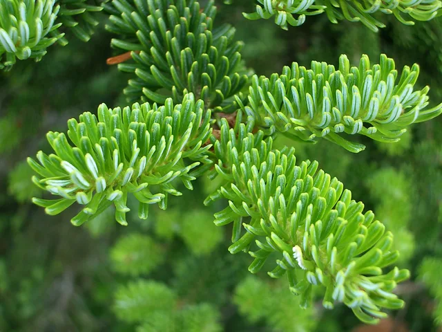
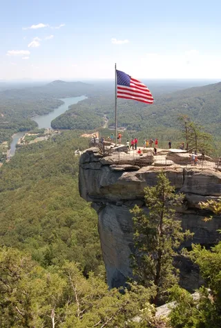
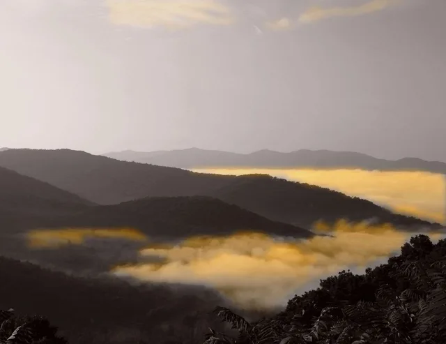
藍嶺山脈 的影像4 张照片
交通与住宿
2 个来源 · 截至 2026年11月4日
来源:TravelHub · OurAirports (public domain)