
- Odległość
- 17 km
Black Mountain · Stany Zjednoczone
Pasmo Błękitne: co jest w pobliżu, jak dojechać i kiedy jechać · 2026
Settling into the valleys below the ridge brings steep topography and isolated transit corridors, shaping daily commutes for long-term residents.
W pobliżu3
Kurs waluty1,00 $stan na 2 lis 2026
Co jest w pobliżu3
O miejscu
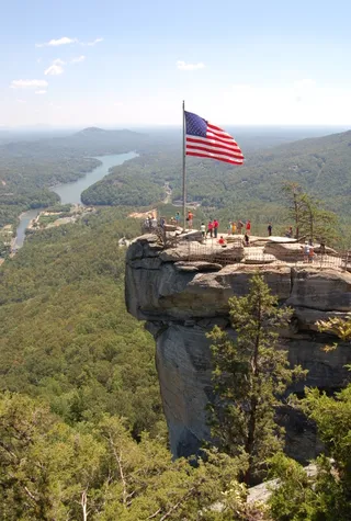
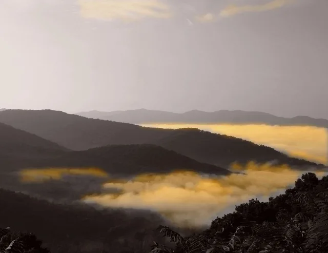
Long chains of ancient crests form a distinct physical boundary across the eastern continent.
The range forms a major physiographic province within the wider Appalachian Highlands. Stretching across several eastern states, the crests divide into northern and southern sections separated by the Roanoke River gap. The Great Appalachian Valley borders the western side, creating steep terrain barriers for regional transit.
Czytaj dalej
Early indigenous nations including the Siouan Manahoacs, Shawnee, and Iroquois used the lower slopes for hunting and fishing. Historic treaties once established the ridge crest as an official boundary line, separating colonial settlements from indigenous territory before westward migration expanded through the mountain passes.
Stowarzyszenia
- Appalachian Highlands
- Roanoke River gap
- Mountain terrain constraints
Fakty
- The mountain chain forms a physiographic province of the larger Appalachian Highlands.
- The Roanoke River gap divides the mountain province into northern and southern sections.
- Historical agreements once established the ridge as a demarcation boundary between colonial and native territories.
Pasmo Błękitne na zdjęciach4 zdjęcia
Dojazd i zakwaterowanie
2 źródła · Stan na 3 listopada 2026
Źródło: TravelHub · OurAirports (public domain)
Podobne w pobliżu
 ≈ 5 min drogiMount Mitchell
- Odległość
- 100 m
Miasta w Stany Zjednoczone
Miejsca w Pasmo Błękitne
Kraje w pobliżu
Częste pytania dotyczące Pasmo Błękitne
Nie możesz znaleźć miejsca, którego potrzebujesz? Wyszukiwarka rozumie każdy język. Otwórz wyszukiwarkę