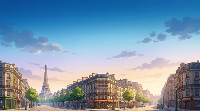
 距离 ≈ 3小时 35分钟5,030 位房东巴黎
- 月份
- ≈ €1,400
- 距离
- 319公里
 TravelHub
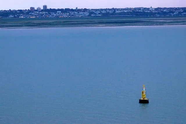
Living beside the tidal waters means planning routines around protective embankments and canal towpaths rather than straightforward river crossings.
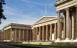 大英博物馆
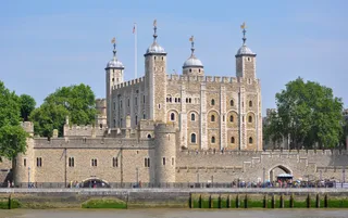 倫敦塔
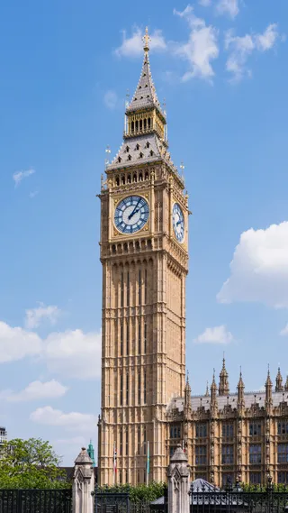 大本钟
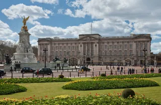 白金汉宫
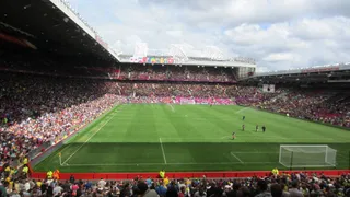 老特拉福德球场
 威斯敏斯特宫
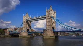 倫敦塔橋
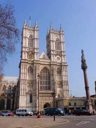 西敏寺
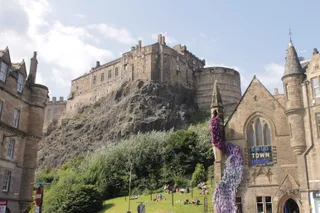 爱丁堡城堡
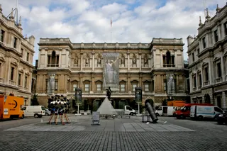 皇家艺术研究院
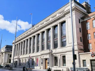 科学博物馆
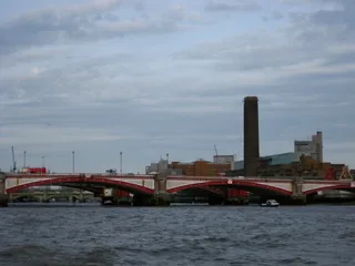 泰特現代藝術館
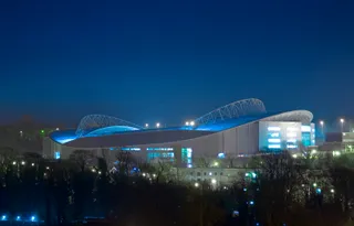 法爾馬球場
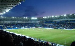 卡迪夫城運動場
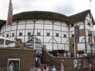 环球剧场
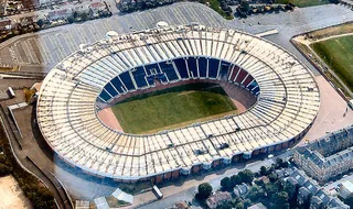 汉普登公园球场
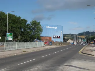 希爾斯堡球場
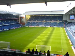 埃布羅克斯球場
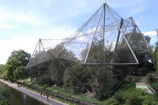 伦敦动物园
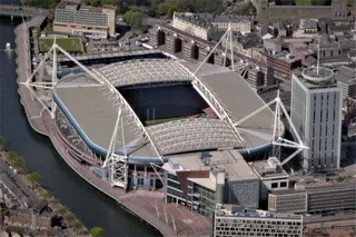 千禧球場
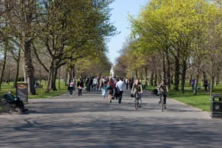 摄政公园
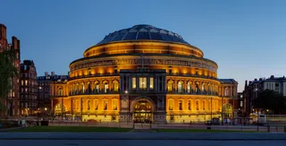 皇家阿爾伯特音樂廳
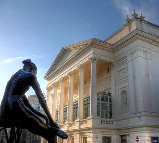 皇家歌劇院
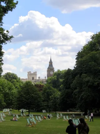 圣詹姆士公园
 唐寧街
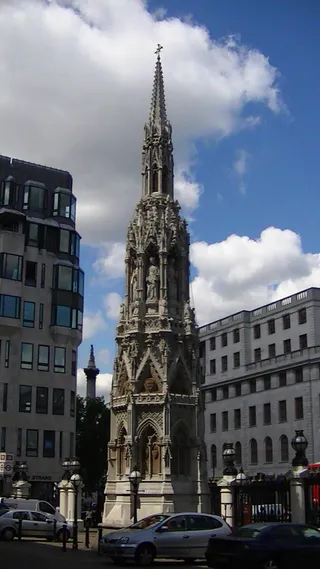 查令十字
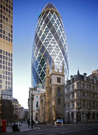 聖瑪莉艾克斯30號大樓
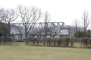 安菲尔德球场
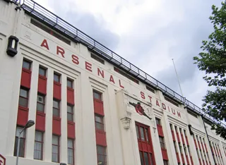 海布里球场
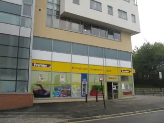 布拉莫巷体育场
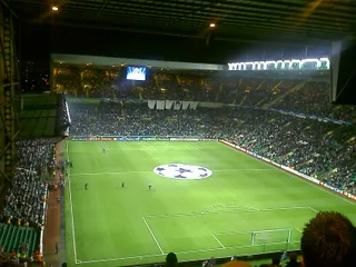 凯尔特人公园球场
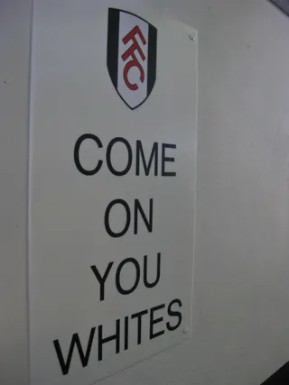 克拉文农场球场
 艾蘭路球場
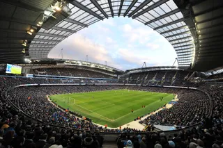 曼徹斯特市球場
 葛迪遜公園球場
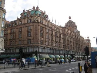 哈洛德百貨公司
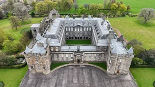 荷里路德宮
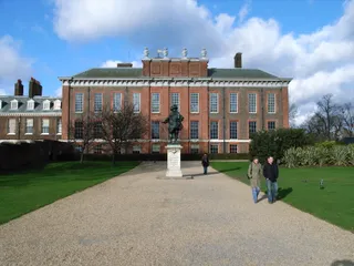 肯辛顿宫
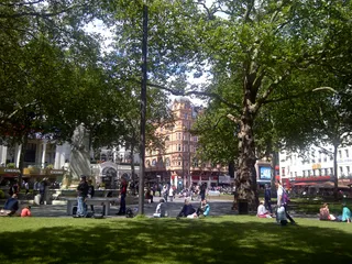 萊斯特廣場
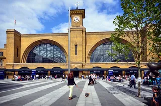 倫敦國王十字車站
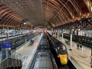 倫敦帕丁頓車站
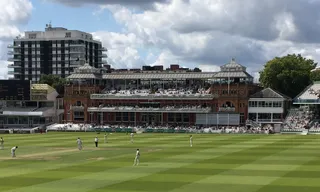 羅德板球場
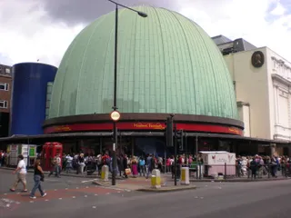 杜莎夫人蠟像館
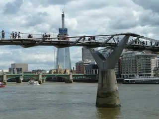 千禧橋
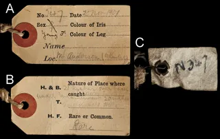 自然史博物馆
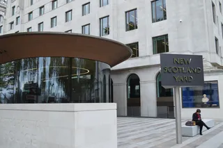 蘇格蘭場
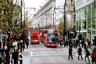 牛津街
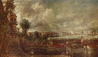 懷特霍爾宮
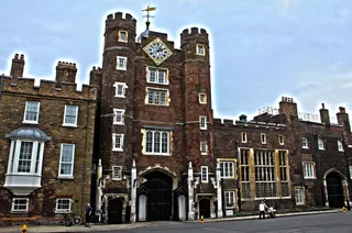 聖詹姆士宮
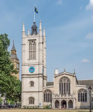 威斯敏斯特圣玛格丽特教堂
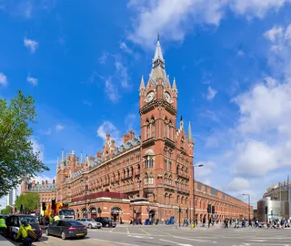 聖潘克拉斯車站
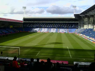 山楂球场
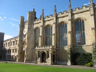 剑桥大学三一学院
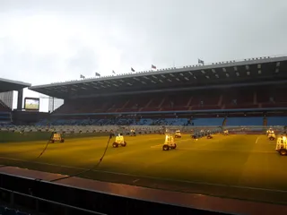 維拉公園球場
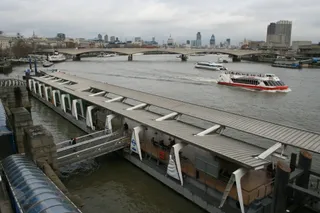 滑铁卢桥
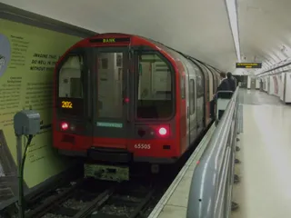 滑鐵盧及城市線
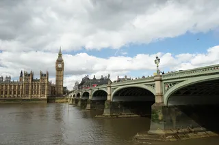 西敏橋
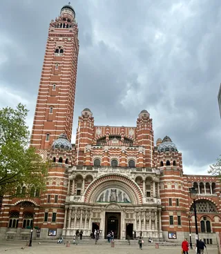 威斯敏斯特主教座堂
Centuries of defensive engineering replaced broad marshlands with extensive solid stone walls, safeguarding neighborhoods that sit inside the floodplain. The river functions as a shipping artery linked to wide inland canal networks, enabling transit routes out towards provincial waterways while defining transport patterns across the capital.
Settling near the water trades quick transit for strict local geography. The channel separates major districts, while public rowing clubs, sailing fleets, and annual regattas claim the navigable surface. Central sections prohibit casual swimming outright for basic physical safety, pushing water recreation into regulated upriver reaches.
此处暂无免费住宿的房东 — 最近的此类城市为:
巴黎距离 ≈ 3小时 35分钟5,030 位房东巴黎 距离 ≈ 4小时美茵河畔法蘭克福
没找到心仪的目的地?搜索功能支持任何语言。 打开搜索