

跳转至内容
TravelHub
汉堡 · 德国

Schleidenbrücke: 周边有什么、如何前往、何时最合适 · 2026年

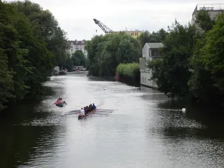
Commuters cross the canal bridge between Barmbek and Winterhude on bicycles at all hours, making windproof gear an everyday necessity rather than a seasonal choice.

地点地图
关于此地

Urban waterways define daily movement across northern districts, shaping how residents commute and structure their routines.

Schleidenbrücke carries road and foot traffic across the canal corridor in Hamburg, anchoring residential transit between adjoining neighbourhoods. Long-term residents rely on this crossing for daily bike commutes and bus connections. The surrounding waterfront paths handle steady cycling traffic throughout all seasonal shifts.

继续阅读

Settling into the surrounding area requires adapting to maritime weather and canal-side humidity. Pedestrians face persistent northern winds and wet paving along the bridge deck during winter months. Proximity to urban waterways provides direct access to public promenades while demanding dependable rain protection for daily travel.

相关组织
  • Canal TransitConnects district bike routes and daily road traffic.
  • Harsh WindsExposed bridge decks catch strong northern canal gusts.
  • Waterfront PathsOffers pedestrian walking routes along the urban canal.
事实信息
  • Schleidenbrücke is indexed under the architectural category in the TravelHub database.
  • The location operates within the Europe/Berlin time zone.
  • Free hospitality network hosts are registered across the local urban area.
来源:TravelHub
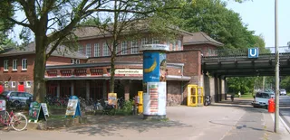
Schleidenbrücke 的影像8 张照片 · 2 个地点
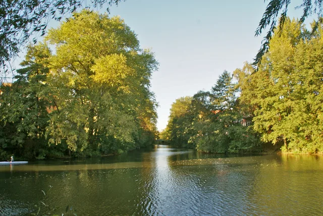
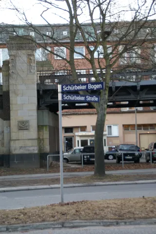
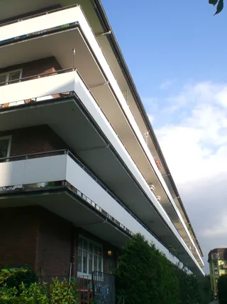
Schleidenbrücke
flamenc · cc-by-sa-3.0 · 2010年10月9日
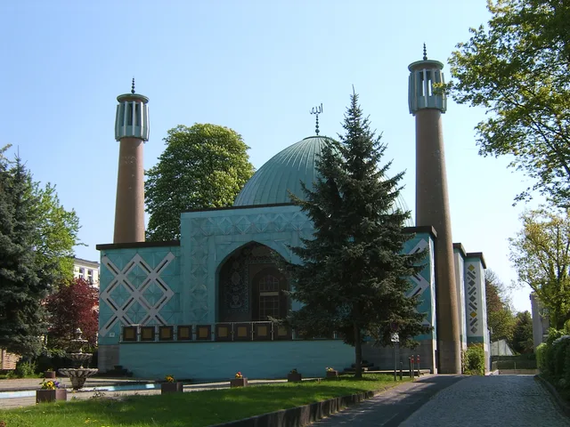
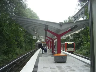
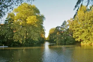
Schleidenhof
Ajepbah · cc-by-sa-3.0 · 2011年9月6日
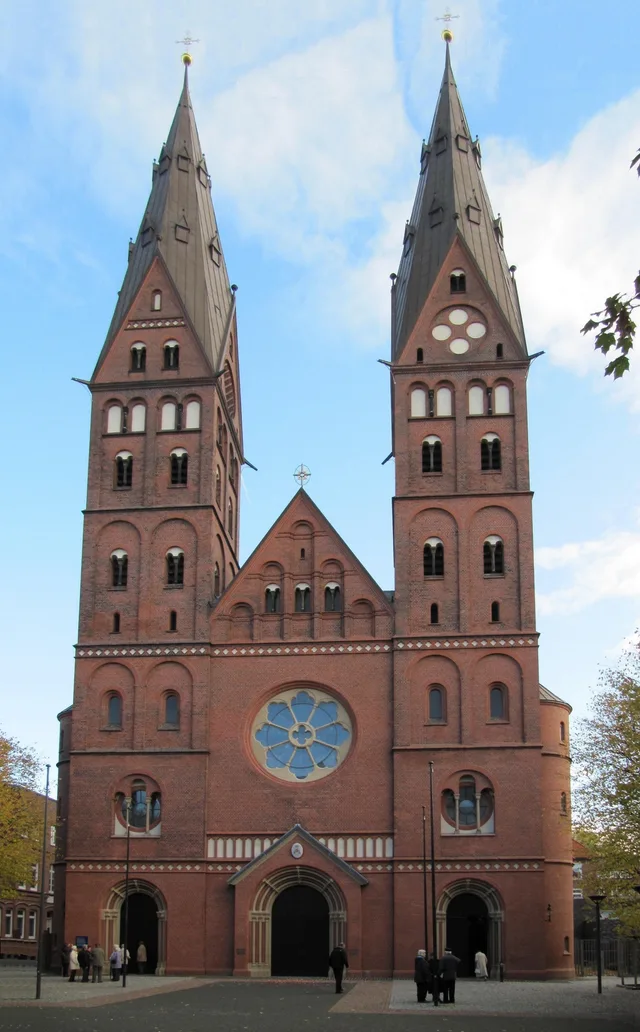
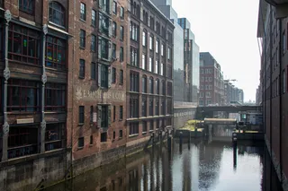
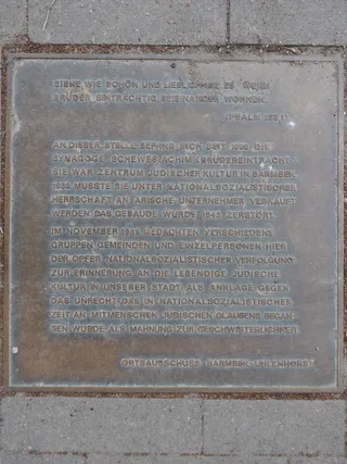
Schleidenhof
hh oldman · cc-by-3.0 · 2014年1月29日
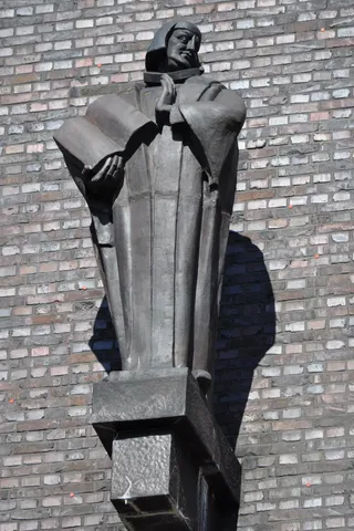
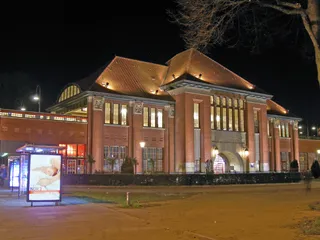
Schleidenhof
hh oldman · cc-by-3.0 · 2014年1月12日

交通与住宿

房主免费住宿查看所有房主
在市区1,663房主欢迎客人
2 个来源 · 截至 2026年11月3日
来源:TravelHub · OurAirports (public domain)

Google 评价

访客在 Google 地图上怎么说

Google 地图的评分和最新评价将按需加载。