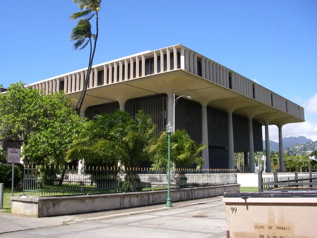
 ≈ 30 min drogiHawaii State Capitol
- Odległość
- 11 km
 TravelHub
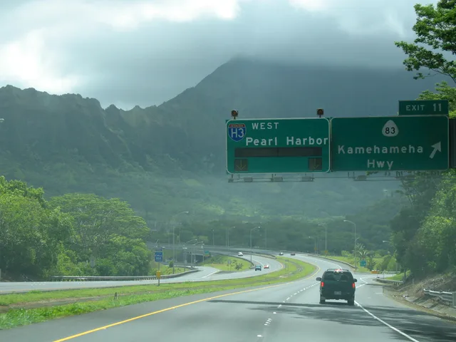
Commuters living in Kailua depend on this mountain highway to cross the Koʻolau Range, trading windward quiet for a route vulnerable to total shutdowns whenever tunnel portals close.
Known as the John A. Burns Freeway, this trans-Koʻolau expressway links Kaneohe on the windward coast with the southern urban corridor of Oʻahu. The roadway traverses steep rainforest terrain on massive viaducts before cutting through the mountain ridge via the Tetsuo Harano Tunnels and Hospital Rock Tunnels. Daily drivers gain rapid cross-island transit, but rockfalls and portal maintenance can suddenly halt traffic.
The project provoked decades of fierce public opposition and legal battles over sacred Native Hawaiian cultural sites. Planners originally routed the highway through Moanalua Valley, where the Damon family organized the Moanalua Gardens Foundation to protect a historic petroglyph stone called Pohaku ka Luahine. Activists forced federal agencies to drop that path, relocating the asphalt corridor into Halawa Valley instead.
Cultural practitioners still protest the highway because construction destroyed religious complexes in Halawa. Many Kanaka Maoli consider the corridor cursed and refuse to drive it. Environmental monitoring documents ongoing damage to native ecosystems, including light pollution, weed invasion, and runoff affecting stream life. Habitat loss contributed to the disappearance of the endemic Oʻahu ʻalauahio bird from the valley.
≈ 30 min drogiHawaii State Capitol ≈ 30 min drogiUniwersytet Hawajski
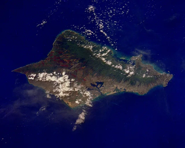 ≈ 40 min drogiO'ahu
Nie możesz znaleźć miejsca, którego potrzebujesz? Wyszukiwarka rozumie każdy język. Otwórz wyszukiwarkę