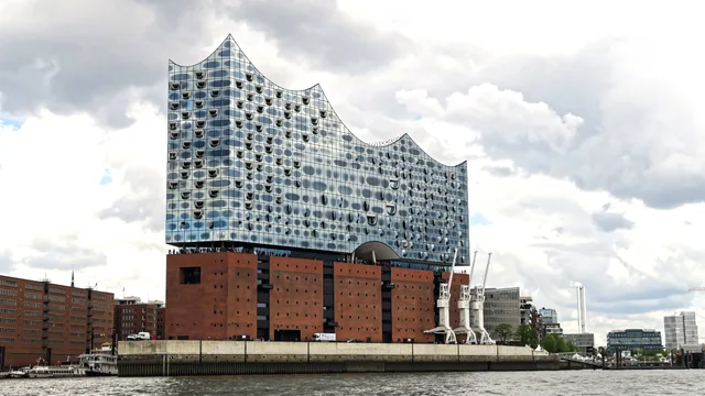
 ≈ 45 min drogiFilharmonia nad Łabą w Hamburgu
- Odległość
- 3,4 km
 TravelHub
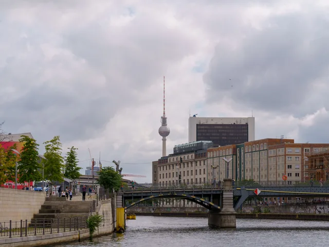
Long-term residents trade harsh lakefront squalls for unhindered cycling routes along the water.
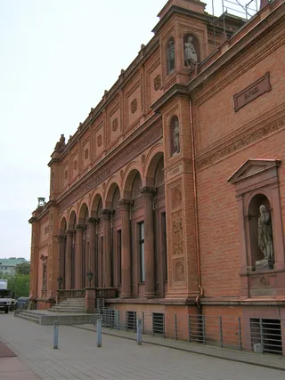 Kunsthalle w Hamburgu
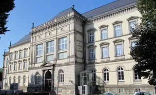 Museum of Art and Crafts Hamburg
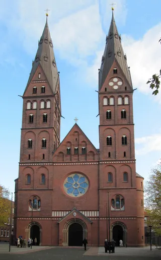 Nowa Katedra Mariacka w Hamburgu
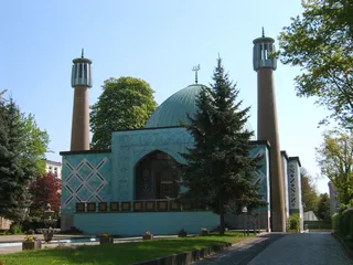 Islamic Centre Hamburg
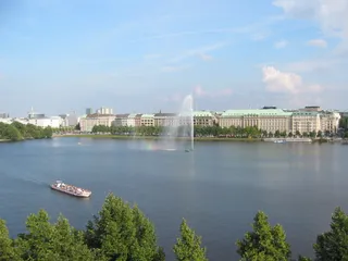 Binnenalster
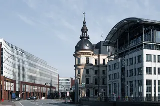 Uhlandstraße
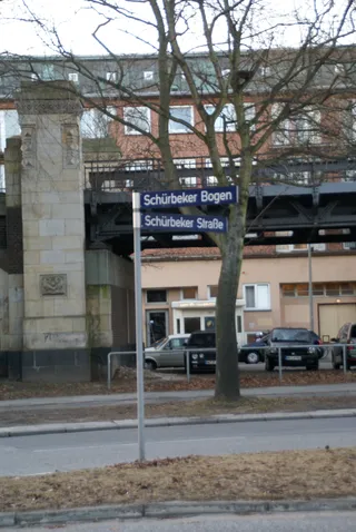 Sankt Gertrud
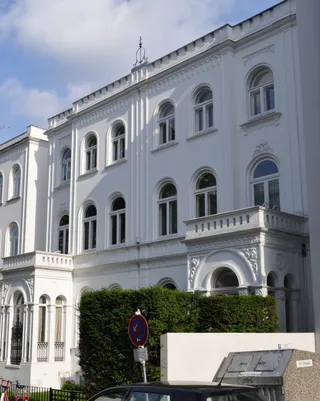 St. Johannis Harvestehude
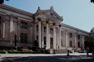 Museum of Ethnology
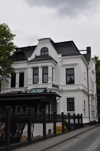 Sophienterrasse
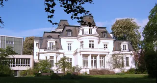 Budge-Palais
 Fernsicht
 Hammonia-Bad
 Hohenfelder Brücke
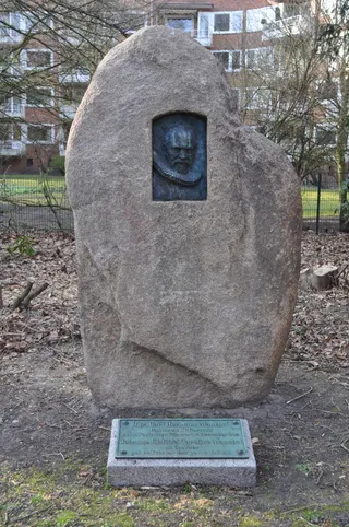 Kuhmühlenteichbrücke
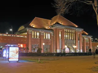 Mundsburg Center
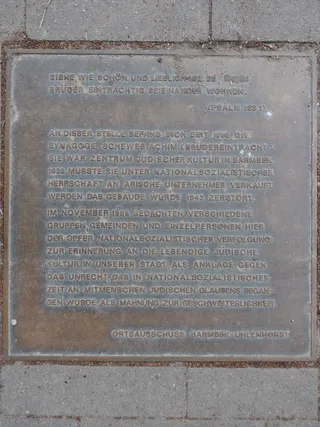 Hamburger Straße
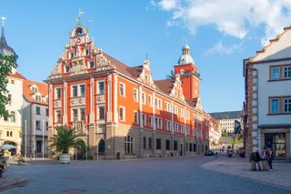 Mundsburg
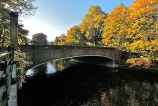
Schwanenwikbrücke carries pedestrians and cyclists across the inlet between eastern parkland and the outer lake shore. Commuters cross the stone arches daily, facing steady headwinds that whip off the exposed water. Residents use the crossing as a quiet evening meeting ground, trading commercial street noise for open waterfront paths.
Relocating residents confront persistent damp winds and a restricted local rental market. New arrivals tap into community host networks across surrounding districts to establish footing before signing formal leases. Tenants who base their daily routines around the bridge rely on bicycle paths rather than crowded transit hubs.
Co piszą odwiedzający w Mapach Google
Ocena i najnowsze opinie z Map Google wczytają się na żądanie.
≈ 45 min drogiFilharmonia nad Łabą w Hamburgu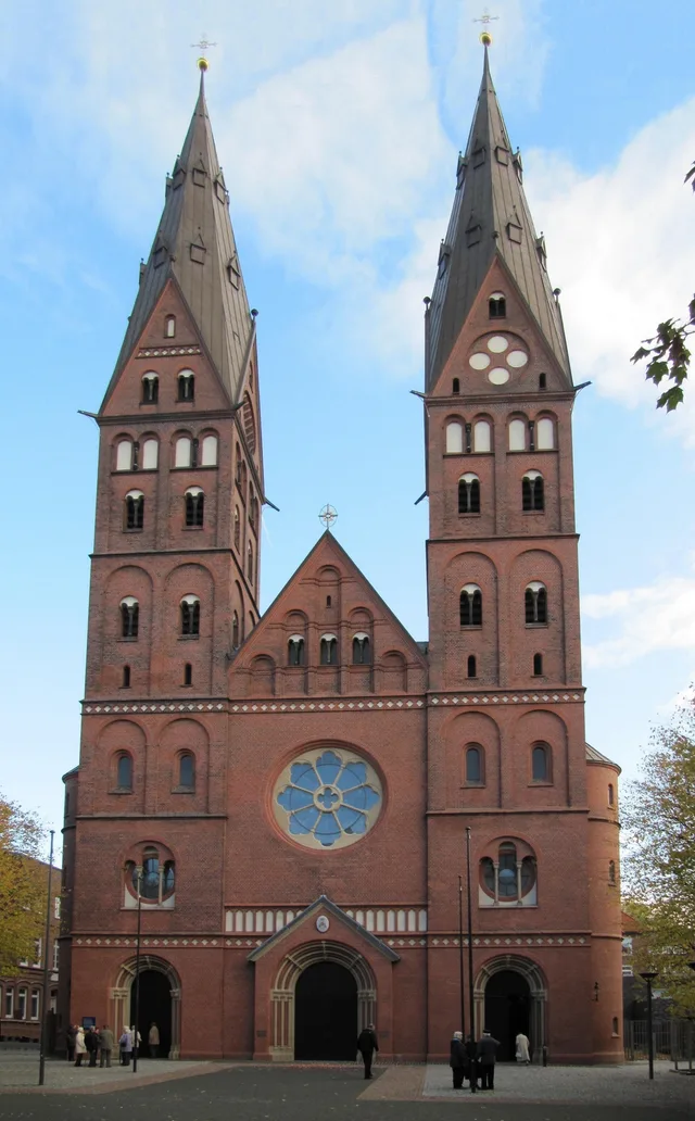 ≈ 15 min drogiNowa Katedra Mariacka w Hamburgu
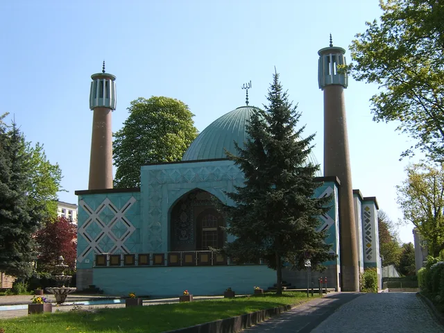 ≈ 15 min drogiIslamic Centre Hamburg
Nie możesz znaleźć miejsca, którego potrzebujesz? Wyszukiwarka rozumie każdy język. Otwórz wyszukiwarkę