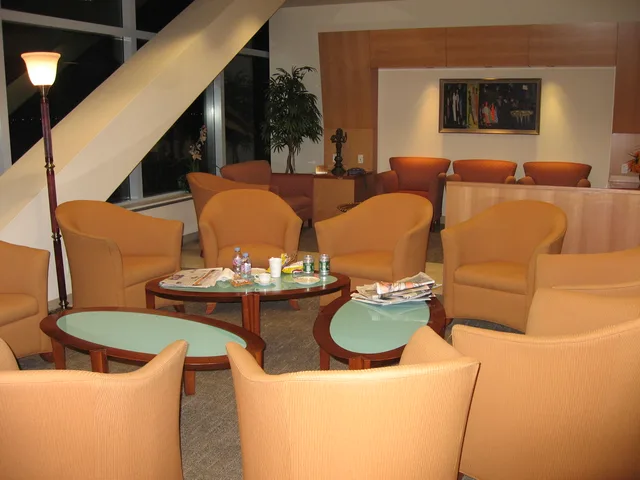
 Džona Kenedija starptautiskā lidosta
- Attālums
- 49 km
 TravelHub
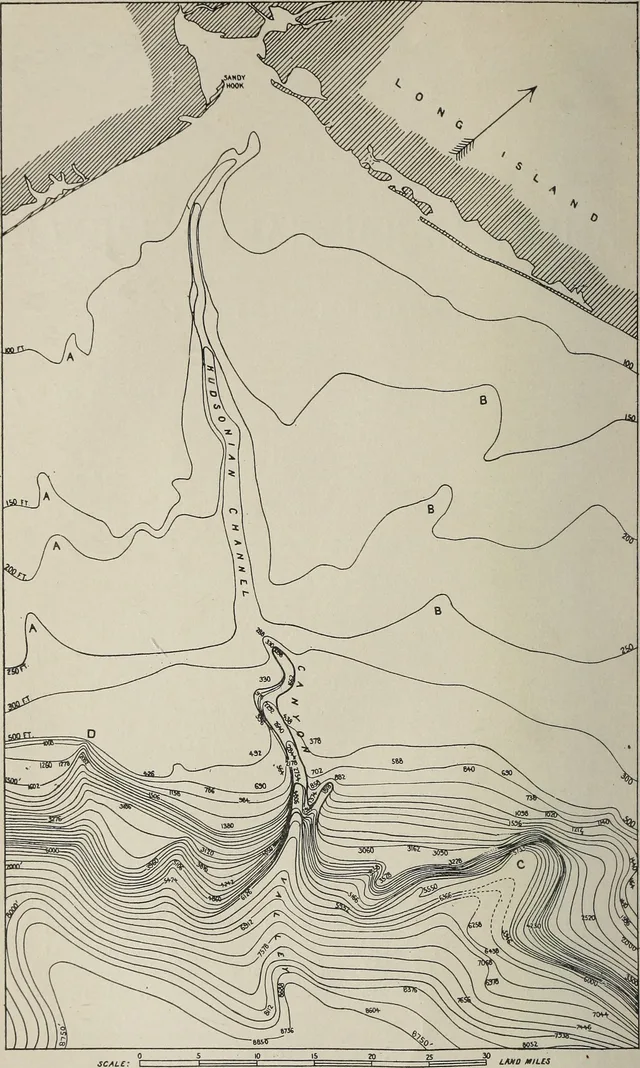
You balance daily life along the branches of the Long Island Rail Road, trading high housing costs and crowded expressways for quick coastal access and direct links into Manhattan.
 Metropoles mākslas muzejs
 Volstrīta
 Baltais nams
 Pasaules tirdzniecības centrs
 Bruklinas tilts
 Centrālparks
 Empire State Building
 Zelta vārtu tilts
 Džona Kenedija starptautiskā lidosta
 Brīvības statuja
 Pentagons
 Vilisa tornis
 Bruklinas muzejs
 Getī centrs
 Žana Pola Getī muzejs
 Modernās mākslas muzejs
 Solomona Gugenheima muzejs
 Bronksas Zooloģiskais dārzs
 Gateway Arch
 Lumen Field
 Mercedes-Benz Stadium
 Reliant Stadium
 United Center
 Brodveja
 Apvienoto Nāciju ēka
 Rockefeller Center
 7 World Trade Center
 875 North Michigan Avenue
 American Museum of Natural History
 Aon Center
 Čikāgas mākslas institūts
 AT&T Stadium
 Bank of America tornis
 Capital One Arena
 Kārnegija zāle
 Chrysler Building
 Coney Island
 Daniel K. Inouye International Airport
 Disnejlenda
 Piektā avēnija
 Flatiron Building
 Ņujorkas Centrālā stacija
 Indianapolisas trase
 Lagardijas lidosta
 Levi's Stadium
 Madison Square Garden
 Manhetenas tilts
 New Amsterdam
 New York Times Building
 Newark Liberty International Airport
 One World Trade Center
 Rokenrola slavas zāle
 Space Needle
 Ņujorkas Svētā Patrika katedrāle
 Taimskvērs
 Trampa tornis
 United States Naval Academy
 Woolworth Building
The island holds North America's busiest commuter railroad system, connecting quiet residential hamlets to Manhattan terminals day and night. Daily life hinges on proximity to these train stations, as arterial roads like the Long Island Expressway experience severe traffic slowdowns during peak travel hours throughout the workweek.
Beyond the suburban sprawl lies a substantial food and maritime economy. Coastal docks at Montauk and Huntington keep commercial fishing active, while vineyards dominate the North Fork alongside long-running duck farms. Local dining centres around fresh harvests of Blue Point oysters, bay clams, and regional estate wines.
Major scientific institutions anchor the local job market alongside commuter transit into New York City. The territory hosts Brookhaven National Laboratory and the Cold Spring Harbor Laboratory for genetics research. Extensive aerospace heritage has shifted toward broad corporate research parks and specialized marine technology.
Džona Kenedija starptautiskā lidosta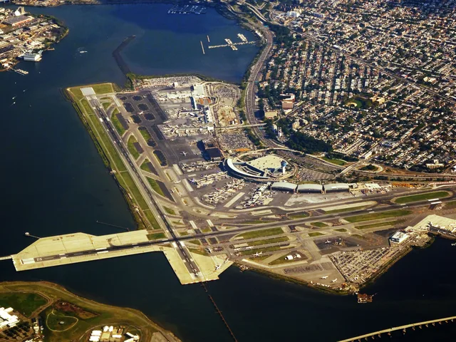 Lagardijas lidosta
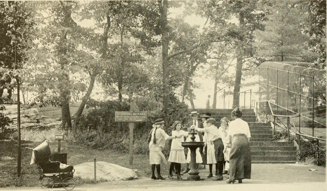 Bronksas Zooloģiskais dārzs
Nevarat atrast vajadzīgo vietu? Meklēšana saprot jebkuru valodu. Atvērt meklēšanu