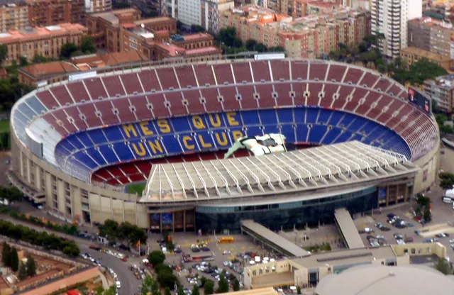
 à ≈ 35 minCamp Nou
- Distance
- 2,8 km
 TravelHub
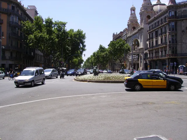
Residents along the avenue trade heavy arterial traffic noise for direct subway connections and express bus routes right outside their entrance.
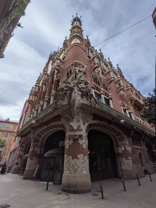 palais de la musique catalane
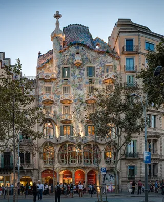 Casa Batlló
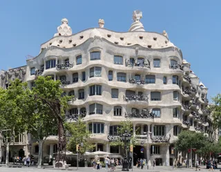 Casa Milà
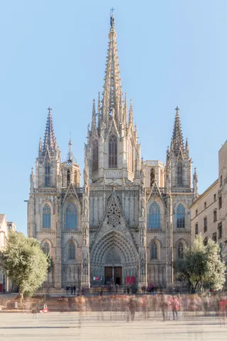 cathédrale Sainte-Eulalie de Barcelone
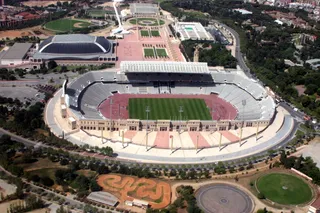 stade olympique Lluís-Companys
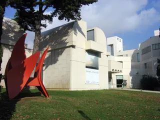 fondation Joan-Miró
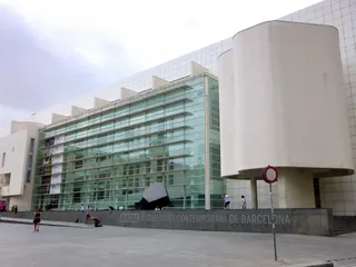 musée d'art contemporain de Barcelone
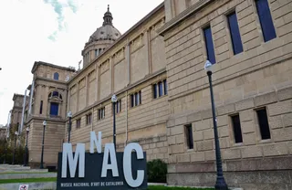 musée national d'Art de Catalogne
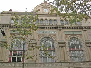 Grand théâtre du Liceu
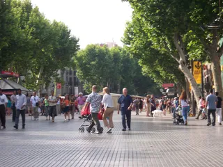 La Rambla
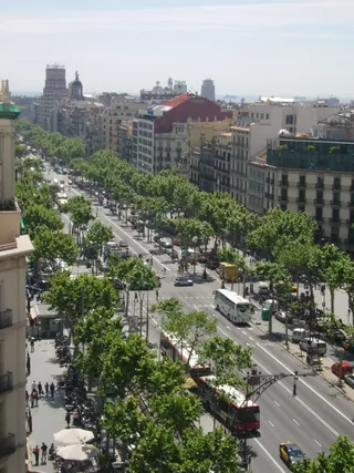 passeig de Gràcia
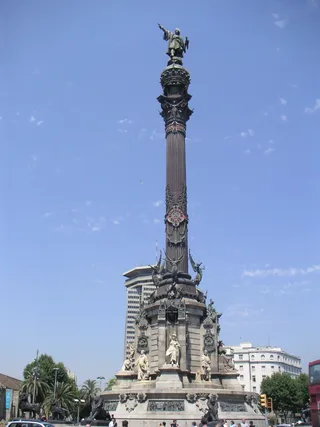 colonne Christophe Colomb de Barcelone
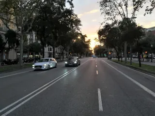 Avinguda Diagonal
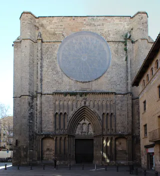 église Notre-Dame-du-Pin de Barcelone
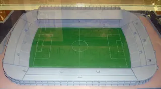 stade des Cort
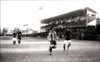 camp del Carrer Indústria
 Casa Amatller
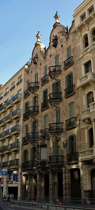 Casa Calvet
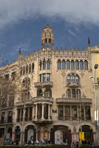 Casa Lleó Morera
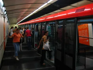 funiculaire de Montjuïc
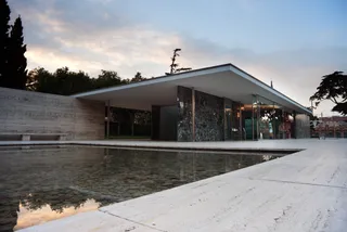 pavillon allemand de Barcelone
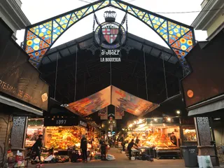 La Boqueria
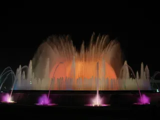 fontaine magique de Montjuïc
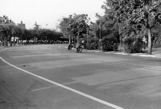 circuit de Montjuïc
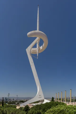 tour de télécommunications de Montjuïc
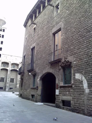 Museu Historia de Barcelone
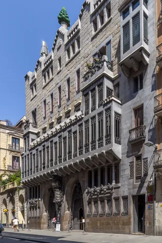 palais Güell
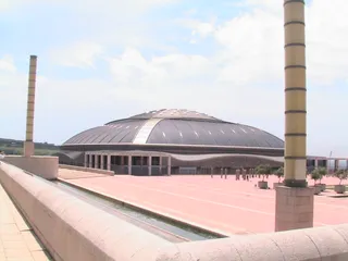 Palau Sant Jordi
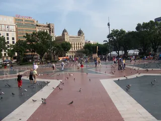 place de Catalogne
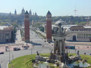 place d'Espagne
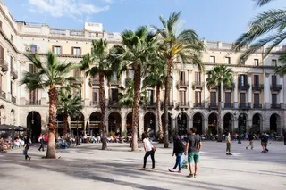 place Royale
Planner Ildefons Cerdà drafted the avenue within his expansion plan to link coastal settlements. It holds the highest count of street addresses in the country and ranks as the longest avenue in the region. Political shifts repeatedly altered its name, honouring medieval parliaments, changing under authoritarian rule, and regaining its Catalan designation during the democratic restoration.
Transit lines run directly beneath and across the avenue. Underground tracks connect Plaça Catalunya to Plaça Espanya, with central stations at Universitat, Urgell, Rocafort, Tetuan, and Glòries. Surface transit complements the rail grid through Trambesòs tram lines along the northern stretch and bus rapid transit routes running end to end. Commuters can cross the entire urban plain without transfers.
à ≈ 35 minCamp Nou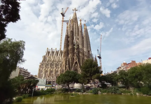 à ≈ 40 minSagrada Família
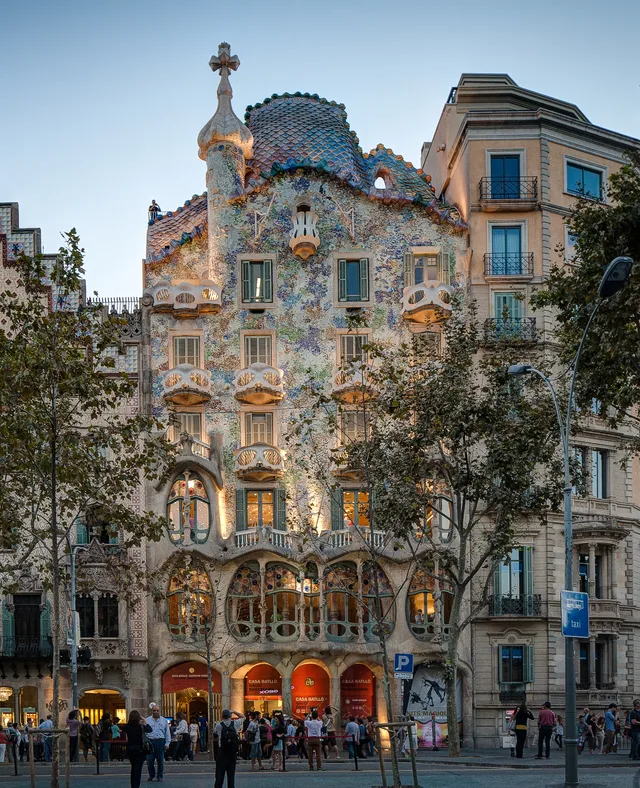 à ≈ 20 minCasa Batlló
Vous ne trouvez pas la destination souhaitée ? La recherche prend en charge toutes les langues. Ouvrir la recherche