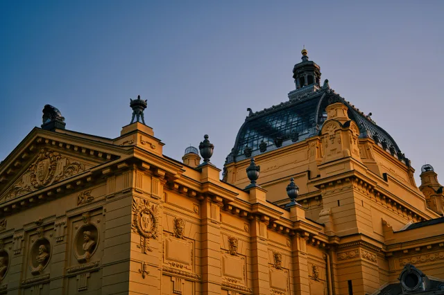
 à ≈ 15 minmusée des Beaux-Arts de Lyon
- Distance
- 900 m
 TravelHub
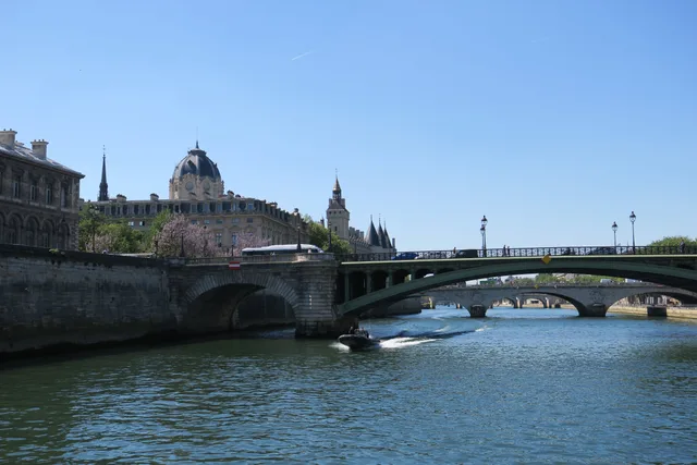
Commuters walk across the Rhône between eastern quarters and the central peninsula daily, making wind exposure and heavy foot traffic part of the regular commute.
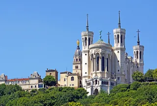 basilique Notre-Dame de Fourvière
 primatiale Saint-Jean de Lyon
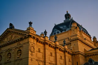 musée des Beaux-Arts de Lyon
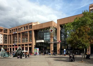 Lyon-Part-Dieu
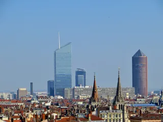 tour IncityTour OxygèneTour Part-Dieu
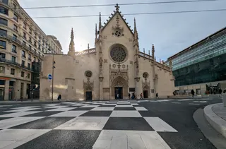 basilique Saint-Bonaventure
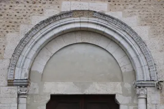 église Saint-Nizier de Lyon
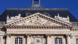 palais de la Bourse
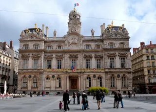 hôtel de ville de Lyon
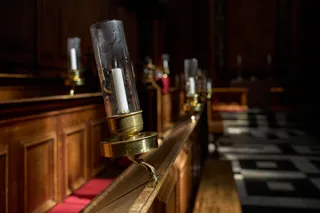 Chapelle de la Trinité
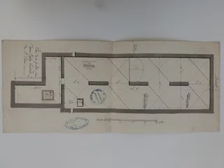 Église Saint-Pierre-des-Terreaux de Lyon
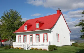 Les Terrasses Saint-Pierre
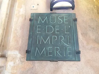 Musée de l'Imprimerie
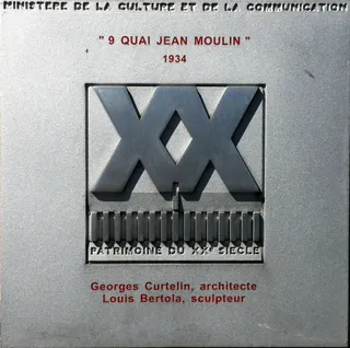 9 quai Jean-Moulin
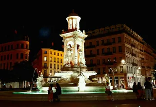 Fontaine des Jacobins
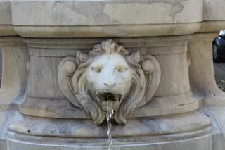 monument fontaine à Jean-Pierre Pléney
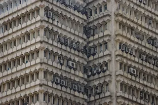 Condition des Soies
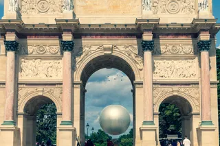 Colonne du Méridien
The bridge connects central urban quarters across the Rhône, funneling foot and vehicular movement between commercial districts and residential neighborhoods. Commuters rely on this crossing during peak working hours, creating constant pedestrian flow along the walkways. River winds affect exposed footpaths during cold months.
Urban planning keeps traffic moving steadily across the structure while providing direct sightlines along the riverbanks. Long-term residents use the bridge as a standard reference point for navigating between riverfront promenades and transit stops. Open exposure means weather conditions directly shape the daily walking route.
Ce que les visiteurs écrivent sur Google Maps
La note et les avis récents de Google Maps se chargent à la demande.
à ≈ 15 minmusée des Beaux-Arts de Lyon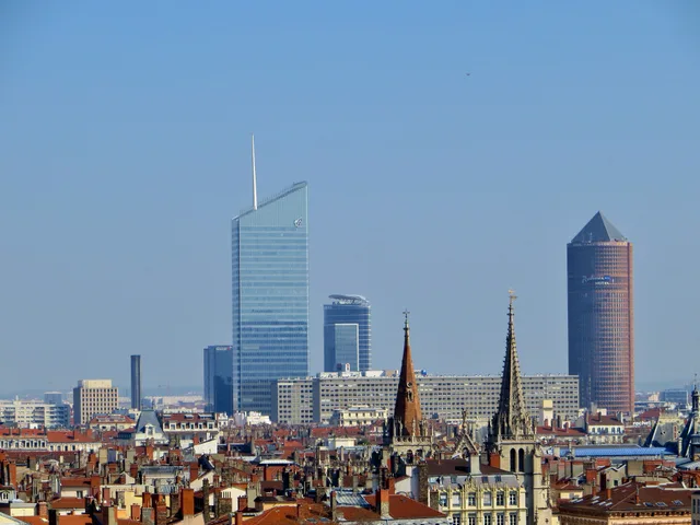 à ≈ 15 mintour Incity
Vous ne trouvez pas la destination souhaitée ? La recherche prend en charge toutes les langues. Ouvrir la recherche