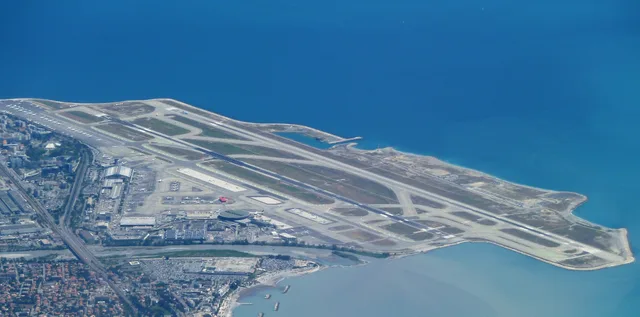
 A ≈ 25 min de distanciaAeropuerto Internacional Niza Costa Azul
- Distancia
- 5,7 km
 TravelHub
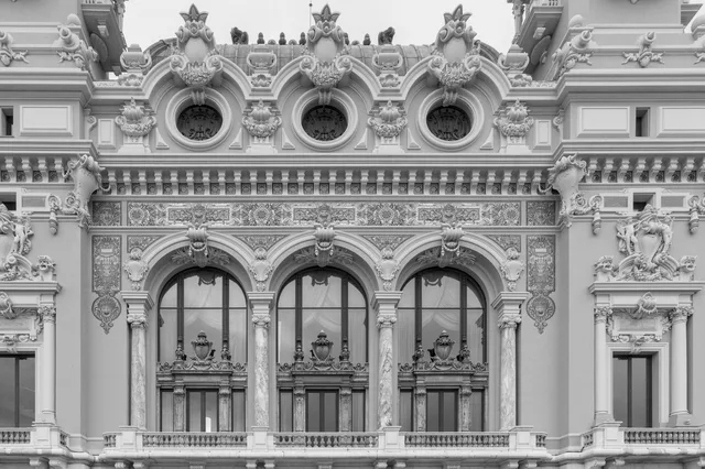
Daily commutes across the central plaza reveal how civic architecture shapes pedestrian movement between historic and modern districts.
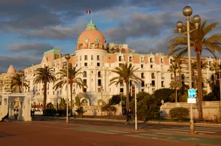 Hotel Negresco
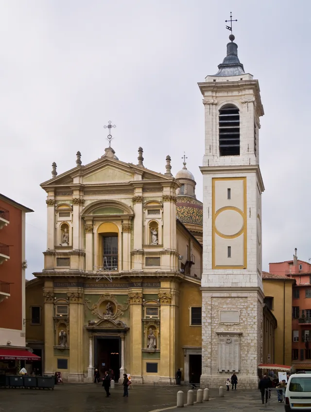
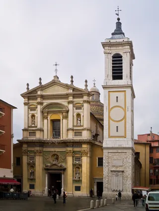 Catedral Basílica de Santa María y Santa Reparata
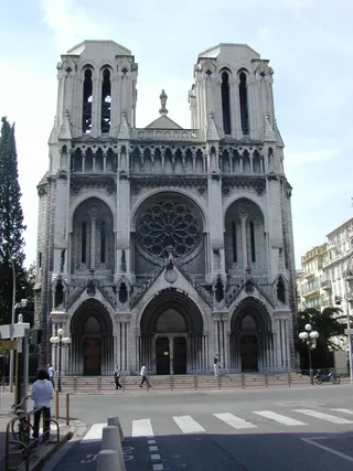 Basílica de Notre-Dame de Niza
 Museo Marc-Chagall
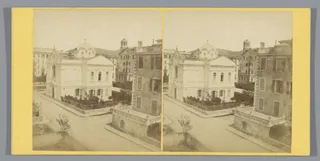 Église orthodoxe russe Saint-Nicolas et Sainte-Alexandra de Nice
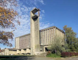 iglesia de Santa Juana de Arco (Niza)
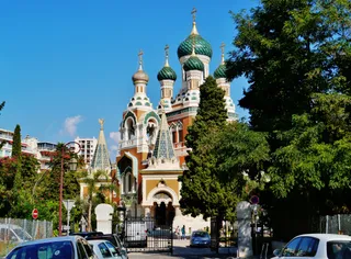 Cathedrale orthodoxe russe de Saint-Nicolas
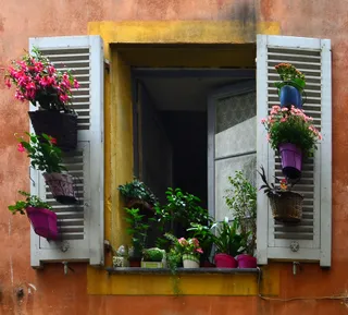 Synagogue de Nice
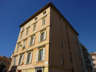 Immeuble Garacci-Bensa (Nice)
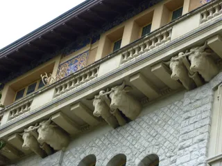 Palais Baréty
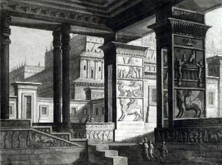 Palais Meyerbeer
The site of the municipal complex anchors the central pedestrian network between the old town and newer quarters. Urban planning here transformed the riverbed into public squares and cultural venues, creating wide pedestrian corridors that long-term residents use daily to navigate the city centre on foot without relying on vehicular transit.
Living near this architectural landmark involves adapting to heavy pedestrian movement and regular municipal maintenance. The open promenade layout provides straightforward access to transit stops and local markets, while public assemblies and seasonal events occasionally alter everyday commuting routes across the main esplanade.
¿No encuentras el lugar que necesitas? La búsqueda entiende cualquier idioma. Abrir búsqueda