
- Distancia
- 18 km
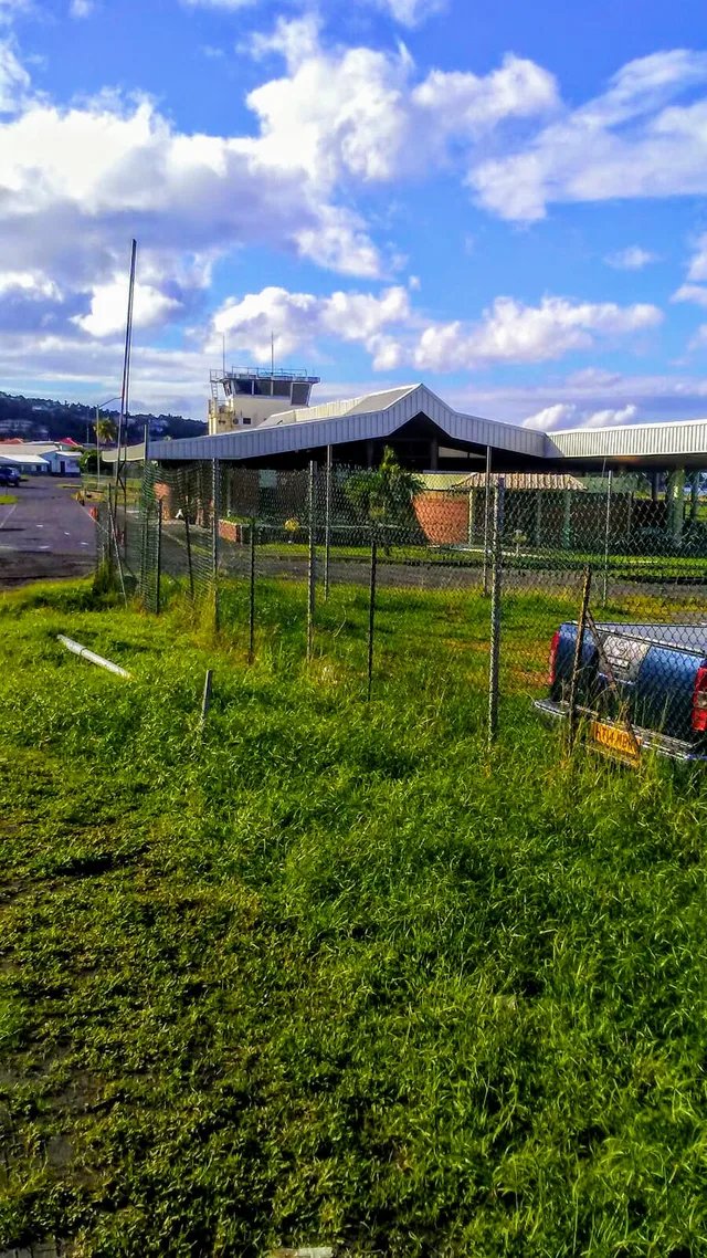
Roseau · Dominica
Aeropuerto de Canefield: qué hay cerca, cómo llegar y cuándo ir · 2026
Residents along the western coast track the airport windsock, because sudden crosswinds disrupt local departures and redirect travel across the island.
Ahora en la ciudadAeropuerto de Canefield+26 °Cactualizado 00:38
Tipo de cambio2,70 $a fecha de 2 nov 2026
Sobre el lugar
Canefield Airport anchors coastal aviation along the western shore near the capital.
Canefield Airport occupies a strip of the western coastline north of Roseau, providing direct air access to the capital. Dominica relies on this site alongside Douglas-Charles Airport on the opposite coast. British financial support backed the runway construction project following national independence to give government offices and merchants an alternative to the exhausting overland crossing from the far side of the island.
Seguir leyendo
Persistent crosswinds and a restricted airfield footprint complicate regular flight movements on the coastal strip. Approaching aircraft face demanding landing conditions that cause intermittent schedule cancellations and route diversions. While the location shortens travel times into the capital, arrivals often shift without warning to the larger northern facility, forcing commuters onto winding interior roads.
Asociaciones
- Capital proximity
- Coastal crosswinds
- Douglas-Charles Airport
- Restricted airstrip
Datos
- The airfield operates on the western coast north of the capital.
- Dominica maintains Douglas-Charles Airport as its other commercial air facility.
- British funding supported construction of the airfield following national independence.
- Crosswinds and a restricted site footprint create documented landing difficulties.
Cómo llegar y dónde quedarse
2 fuentes · A fecha de 4 de noviembre de 2026
Fuente: TravelHub · OurAirports (public domain)
Reseñas de Google
Lo que escriben los visitantes en Google Maps
La valoración y las reseñas recientes de Google Maps se cargan a petición.
Lugares cercanos similares
 A ≈ 3 h 30 min de distanciaOld Road Town
- Mes
- ≈ 1141 $
- Distancia
- 267 km
 A ≈ 3 h 45 min de distanciaSaint Croix
- Mes
- ≈ 2502 $
- Distancia
- 445 km
Ciudades de Dominica
Lugares en Aeropuerto de Canefield
¿No encuentras el lugar que necesitas? La búsqueda entiende cualquier idioma. Abrir búsqueda