
- Mesafe
- 18 km
Roseau · Dominika
Canefield Airport: çevrede ne var, nasıl gidilir ve ne zaman · 2026
Residents along the western coast track the airport windsock, because sudden crosswinds disrupt local departures and redirect travel across the island.
Şu an şehirdeCanefield Airport+24°Cgüncellenme 01:56
Döviz kuru$2,702 Kas 2026 verilerine göre
Konum hakkında
Canefield Airport anchors coastal aviation along the western shore near the capital.
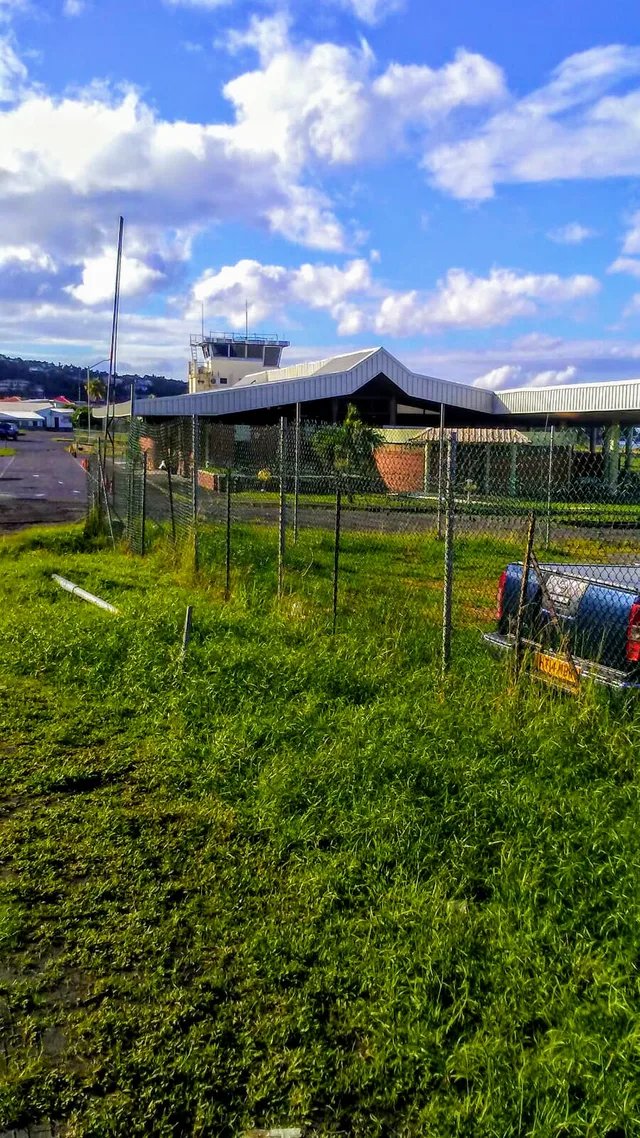
Canefield Airport occupies a strip of the western coastline north of Roseau, providing direct air access to the capital. Dominica relies on this site alongside Douglas-Charles Airport on the opposite coast. British financial support backed the runway construction project following national independence to give government offices and merchants an alternative to the exhausting overland crossing from the far side of the island.
Okumaya devam et
Persistent crosswinds and a restricted airfield footprint complicate regular flight movements on the coastal strip. Approaching aircraft face demanding landing conditions that cause intermittent schedule cancellations and route diversions. While the location shortens travel times into the capital, arrivals often shift without warning to the larger northern facility, forcing commuters onto winding interior roads.
Dernekler
- Capital proximity
- Coastal crosswinds
- Douglas-Charles Airport
- Restricted airstrip
Gerçekler
- The airfield operates on the western coast north of the capital.
- Dominica maintains Douglas-Charles Airport as its other commercial air facility.
- British funding supported construction of the airfield following national independence.
- Crosswinds and a restricted site footprint create documented landing difficulties.
Ulaşım ve konaklama
2 kaynak · 4 Kasım 2026 tarihi itibarıyla
Kaynak: TravelHub · OurAirports (public domain)
Google yorumları
Ziyaretçilerin Google Haritalar'da yazdıkları
Google Haritalar'daki puan ve son yorumlar istek üzerine yüklenir.
Yakındaki benzer yerler
 ≈ 3 sa. 30 dk. uzaklıktaOld Road Town
- Ay
- ≈ $1.141
- Mesafe
- 267 km

Dominika şehirleri
Canefield Airport içindeki yerler
Aradığınız yeri bulamadınız mı? Arama motoru her dili anlar. Aramayı aç