
- Entfernung
- 1,2 km
Osaka · Japan
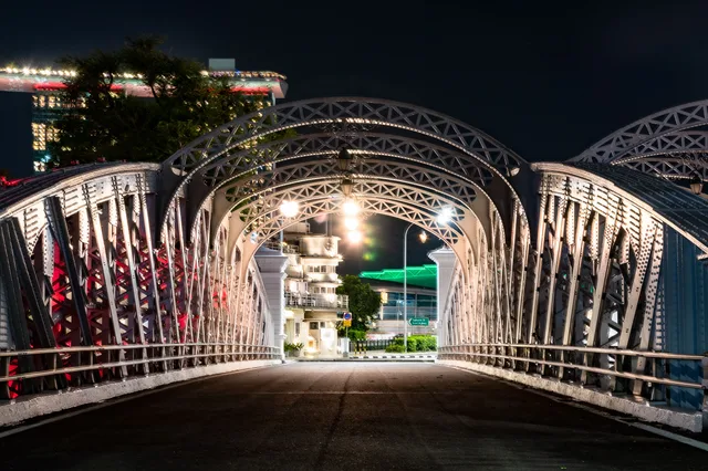
Sakuranomiya-Bridge: was in der Nähe ist, wie man hinkommt und wann man fährt · 2026
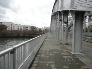
Cyclists and walkers share the bridge deck on their daily transit, trading quiet riverside mornings for crowded paths whenever the park blossoms.
Aktuell in der StadtSakuranomiya-Bridge+14 °Caktualisiert 00:02In der Umgebung27
Wechselkurs157,9 ¥Stand: 02.11.2026
In der Umgebung27
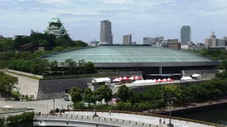 Ōsaka-jō Hall
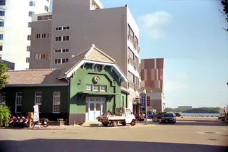 Former Konishi Family Residence
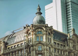 Main Build
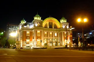 Osaka City Central Public Hall
 Senpukan
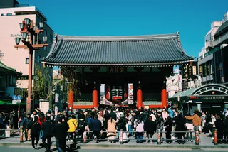 Genjō Sanzō-e
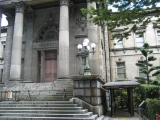 Osaka Prefectural Nakanoshima Library
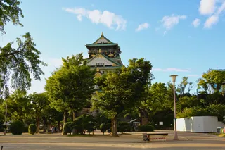 大阪府庁舎
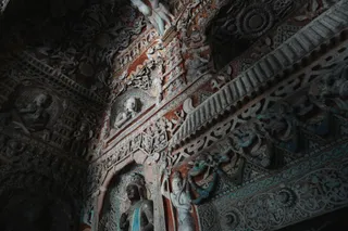 大長寺
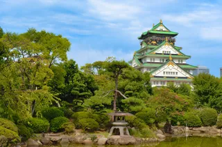 Ōsaka Shiritsu Hakubutsukan
- Burg Ōsaka
- Ishiyama Hongan-ji
- Historisches Museum Osaka
- Osaka Castle Park
- Ōsaka Tenman-gū
- Sukunahikona-jinja Shrine
- 山本能楽堂
- 岸本瓦町邸
- Kitahama Retro Building
- Tekijuku
- Houkoku-jinja Shrine
- 南長柄八幡宮
- 鶴満寺
- Matsushita IMP building
- Crystal Tower (Osaka)
- Kyoikuto
- Katamachi Station
Über den Ort
A functional river crossing that defines local pedestrian movement between dense residential streets and open park corridors.
Daily life near Sakuranomiya-Bridge revolves around the wide riverbank corridor connecting eastern residential pockets to central commercial hubs. Commuters cross on foot and bicycle throughout the morning rush, bypassing packed train carriages. The structure anchors the surrounding parkland where seasonal crowds disrupt quiet daily routines.
Weiterlesen
Long-term residents trade immediate subway proximity for open waterside paths and calmer residential blocks. Grocery shopping requires crossing into neighboring quarters, while cycling paths along the river make east-west movement straightforward. Summer humidity and festival gatherings bring heavy pedestrian traffic directly under apartment windows.
Verbände
- Pedestrian Commuting
- Riverside Cycling
- Seasonal Foot Traffic
Fakten
- Free hospitality hosts are cataloged in the TravelHub database.
- The local time zone is set to Asia/Tokyo.
- The site is documented as an architectural landmark in the catalog.
Anreise und Unterkunft
Kostenlose Aufenthalte bei GastgebernGastgeber anzeigen
In der Stadt151
2 Quellen · Stand: 3. November 2026
Quelle: TravelHub · OurAirports (public domain)
Ähnliche Orte in der Nähe
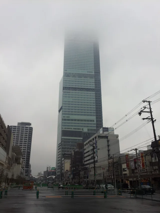 ≈ 25 Min. entferntAbeno Harukas
- Entfernung
- 5,8 km
- Entfernung
- 1,2 km
Städte in Japan
Orte in Sakuranomiya-Bridge
Länder in der Nähe
Häufige Fragen zu Sakuranomiya-Bridge
Ort nicht gefunden? Die Suche versteht jede Sprache. Suche öffnen