
- Расстояние
- 1,2 км
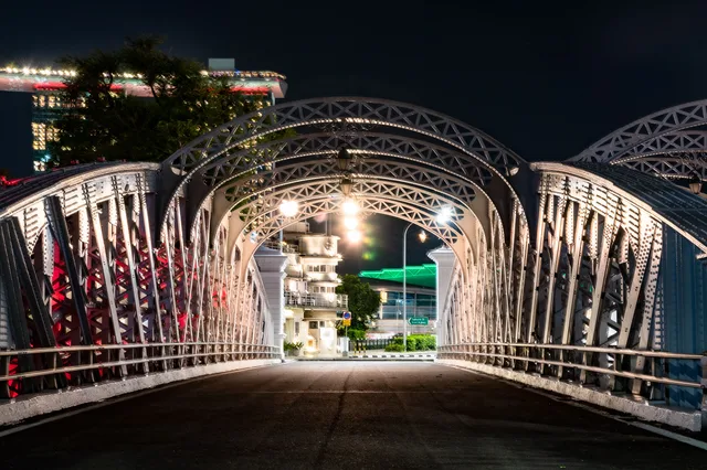
Осака · Япония
桜宮橋: что вокруг, как добраться и когда ехать · 2026
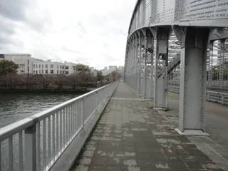
Cyclists and walkers share the bridge deck on their daily transit, trading quiet riverside mornings for crowded paths whenever the park blossoms.
Что вокруг27
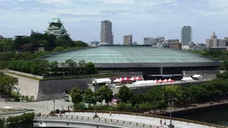 Osaka-jō Hall
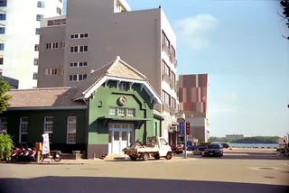 Бывшая резиденция семьи Кониси
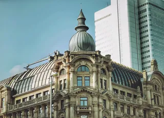 Главное здание
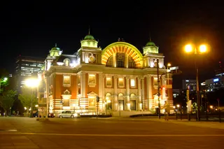 Центральный общественный зал города Осака
 泉布観
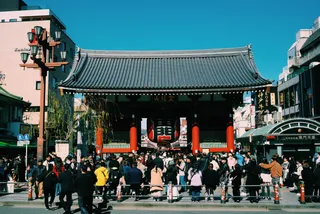 Гэндзё Сандзо-э
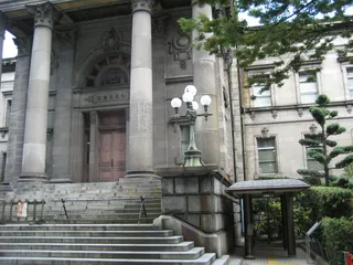 Префектурная библиотека Наканосима в Осаке
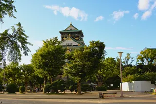 Здание правительства префектуры Осака
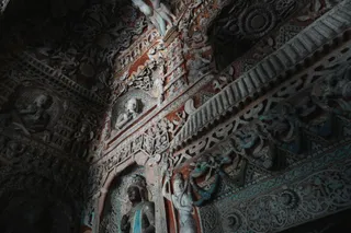 Храм Дайтё-дзи
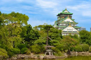 Городской музей Осаки
- Замок в Осаке
- Исияма Хонган-дзи
- Музей истории Осаки
- Парк Осака-дзё
- Храм Осака Тэммангу
- Святилище Сукунахикона-дзиндзя
- Театр Но Ямамото
- Резиденция Кисимото Каравамати
- Здание «Китахама Ретро»
- Текидзюку
- Храм Хококу-дзиндзя
- Минаминагара Хатимангу
- Храм Какуман-дзи
- Здание Matsushita IMP
- Кристалл Тауэр (Осака)
- 教育の塔
- Станция Катамати
О месте
A functional river crossing that defines local pedestrian movement between dense residential streets and open park corridors.
Daily life near Sakuranomiya-Bridge revolves around the wide riverbank corridor connecting eastern residential pockets to central commercial hubs. Commuters cross on foot and bicycle throughout the morning rush, bypassing packed train carriages. The structure anchors the surrounding parkland where seasonal crowds disrupt quiet daily routines.
Читать дальше
Long-term residents trade immediate subway proximity for open waterside paths and calmer residential blocks. Grocery shopping requires crossing into neighboring quarters, while cycling paths along the river make east-west movement straightforward. Summer humidity and festival gatherings bring heavy pedestrian traffic directly under apartment windows.
Ассоциации
- Pedestrian Commuting
- Riverside Cycling
- Seasonal Foot Traffic
Факты
- Free hospitality hosts are cataloged in the TravelHub database.
- The local time zone is set to Asia/Tokyo.
- The site is documented as an architectural landmark in the catalog.
Дорога и жильё
Бесплатное жильё у хостовСмотреть хостов
Всего в городе151
eSIM от IECApp StoreGoogle Play
Источники: 2 · По данным на 3 ноября 2026 г.
Источник: TravelHub · OurAirports (public domain)
Похожие рядом
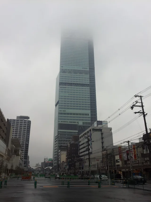 ≈ 25 мин в путиAbeno Harukas
- Расстояние
- 5,8 км
- Расстояние
- 1,2 км
Города страны Япония
Места: 桜宮橋
Страны рядом
Частые вопросы о месте 桜宮橋
Не нашли нужное место? Поиск понимает любой язык. Открыть поиск