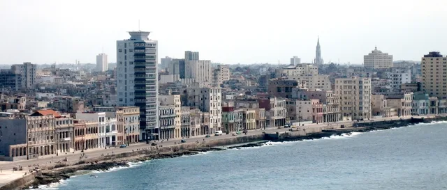
 ≈ 35 min awayMalecón
- Distance
- 2.9 km
 TravelHub
Residents crossing this municipal hub plan their daily commute around broad avenue connections rather than walkable side streets.
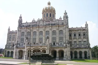 Museum of the Revolution
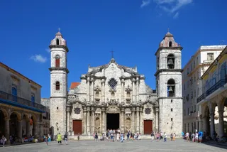 Havana Cathedral
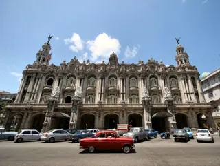 Gran Teatro de La Habana
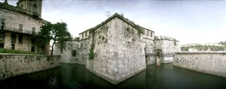 Castillo de la Real Fuerza
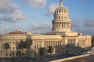 El Capitolio
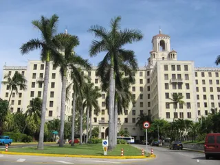 Hotel Nacional de Cuba
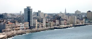 Malecón
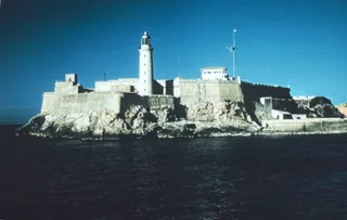 Morro Castle
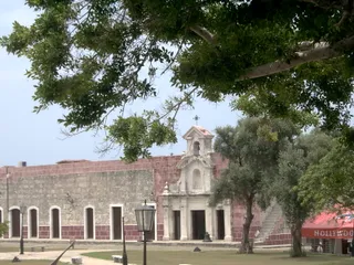 San Carlos de la Cabaña Fortress
Batista administration conceived the civic zone during a broad infrastructure expansion, naming the original open space Plaza Cívica. Urban planners designed the grounds to operate as a central circulation nexus, projecting major avenues outwards to link the cardinal points across the urban grid. The expansive square and its central memorial structure reached completion at the end of that construction era.
Beyond its identity as a public square, the designation covers an entire municipal district. The towering memorial on the grounds features an internal elevator that takes passengers directly to the observation summit. That elevated platform ranks among the highest physical vantage points across the surrounding urban landscape, overlooking the surrounding administrative complexes and primary transit corridors.
≈ 35 min awayMalecón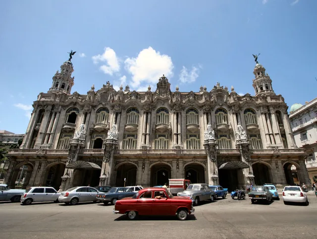 ≈ 40 min awayGran Teatro de La Habana
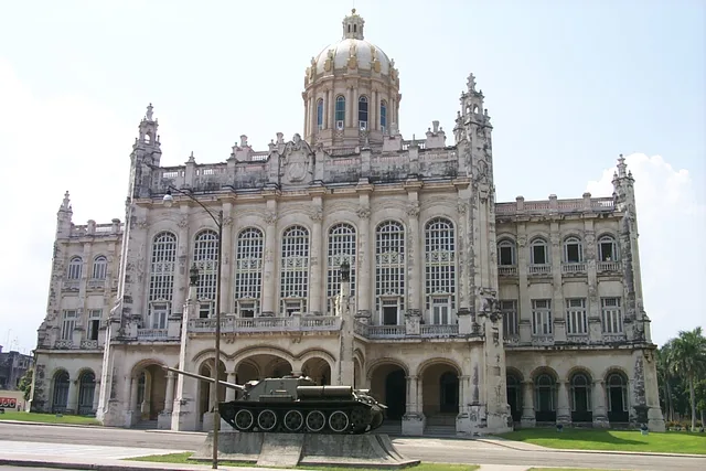 ≈ 45 min awayMuseum of the Revolution
Can’t find the place you need? Search understands any language. Open search