Skip to content
TravelHub
Santiago · Chile

Santa Lucía Hill: what's nearby, how to get there and when to go · 2026

Long-term downtown residents rely on the hilltop pathways for quiet pedestrian shortcuts above traffic, while adjusting to the daily reverberation of the ceremonial cannon shot.

Map of places
About the place

A prominent rocky outcrop stands above central Santiago as both a public park and a historic fortress.

Known anciently as Huelén by indigenous communities, the hill gained its Spanish name under Pedro de Valdivia. Early colonial missionaries gathered on the slopes for prayer during a chickenpox epidemic. Royal engineers later fortified the heights with stone ramparts, ammunition depots, and Fort Hidalgo. The surrounding ground also served as a burial site for religious dissidents denied entry to consecrated churchyards.

Read on

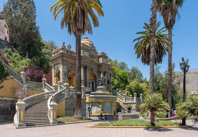
Scientific expeditions led by James Melville Gilliss established an astronomical station on the peak to measure solar parallax, leaving instruments that seeded the National Astronomical Observatory. Urban planner Benjamín Vicuña Mackenna later transformed the rocky outcrop into a public park, introducing gas illumination, a hilltop chapel, fountains, and yellow and white facades alongside a regular cannon firing tradition.

Associations
  • Fort HidalgoStone bastion constructed on the hillside for historic city defense.
  • Benjamín Vicuña MackennaLed the urban transformation that added landscaped lookouts and fountains.
  • HuelénOriginal indigenous Mapuche name for the prominent rocky hill.
  • Steep terrainAscending the stone pathways requires navigating uneven switchbacks.
  • National Astronomical ObservatoryDeveloped from research equipment left after solar parallax measurements.
Facts
  • The hill is bordered by Alameda del Libertador Bernardo O'Higgins, Santa Lucía Street, and Victoria Subercaseaux.
  • Manuel Olaguer Feliú designed stone fortifications on the hill to house garrisons and artillery depots.
  • James Melville Gilliss operated an astronomical observatory on the summit to measure solar parallax.
  • Remains from the hillside cemetery for religious dissidents were later relocated to the General Cemetery.
Source: Wikipedia
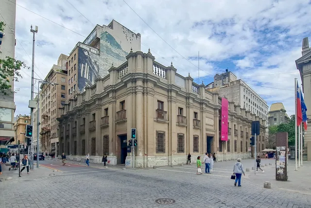
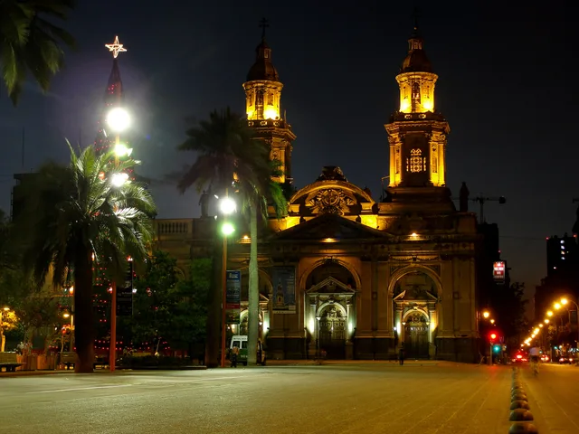
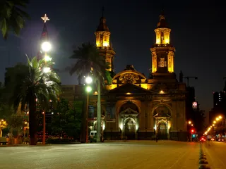
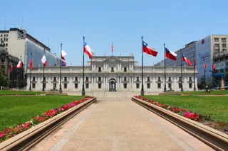
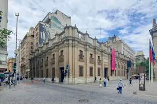
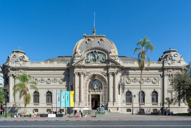
Santa Lucía Hill in pictures8 photos · 1 place
National Archives of Chile
Rjcastillo · cc-by-sa-4.0 · Jan 2, 2023
Chofaska · cc-by-sa-3.0 · Sep 28, 2012

Getting there and staying

2 sources · As of November 3, 2026
Source: TravelHub · OurAirports (public domain)

Google reviews

What visitors say on Google Maps

Rating and recent reviews from Google Maps load on request.