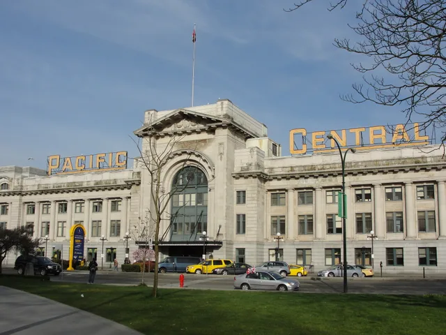
 ≈ 1 hr awayPacific Central Station
- Distance
- 5 km
 TravelHub
Commuters in Renfrew Heights trade urban bustle for quiet parkland next to the tracks, relying on direct rail links downtown while walking to local buses for crosstown trips.
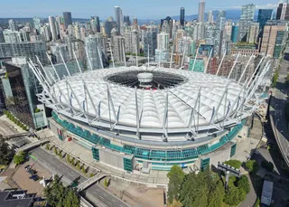 BC Place
 Vancouver International Airport
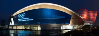 Richmond Olympic Oval
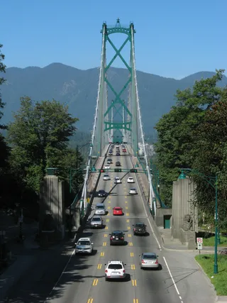 Lions Gate Bridge
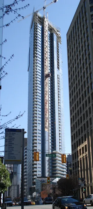 Living Shangri-La
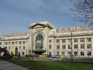 Pacific Central Station
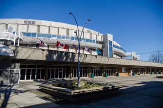 Pacific Coliseum
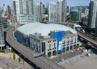 Rogers Arena
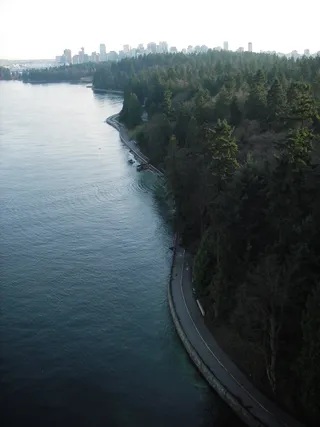 Stanley Park
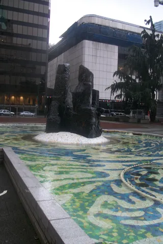 Vancouver Art Gallery
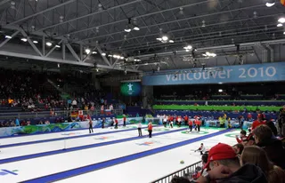 Vancouver Olympic/Paralympic Centre
This at-grade SkyTrain station borders Slocan Park in the residential Renfrew Heights district. Designed by the Austrian architecture firm Architektengruppe U-Bahn for the original rapid transit network, the stop integrates ground-level platforms with surrounding walkways, giving neighbourhood residents immediate access to the Expo Line without elevated concourses.
The tracks follow the historic Central Park corridor formerly used by the British Columbia Electric Railway between Nanaimo and New Westminster. Rail operations here once included Millennium Line journeys toward Columbia and VCC–Clark, which later shifted into branch service to Production Way–University. An adjacent bus exchange with dedicated bays and crosswalks links local street routes directly to the platform.
What visitors say on Google Maps
Rating and recent reviews from Google Maps load on request.
≈ 1 hr awayPacific Central StationCan’t find the place you need? Search understands any language. Open search