 距离 ≈ 30分钟自由女神像
- 距离
- 2.3公里
 TravelHub
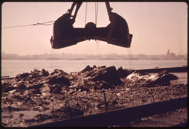
Living beside the working port means planning your daily commute around passenger ferries and accounting for sudden coastal wind shifts on open piers.
 大都會藝術博物館
 华尔街
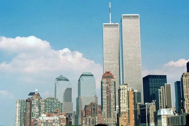
 世界贸易中心
 布魯克林大橋
 中央公園
 帝國大廈
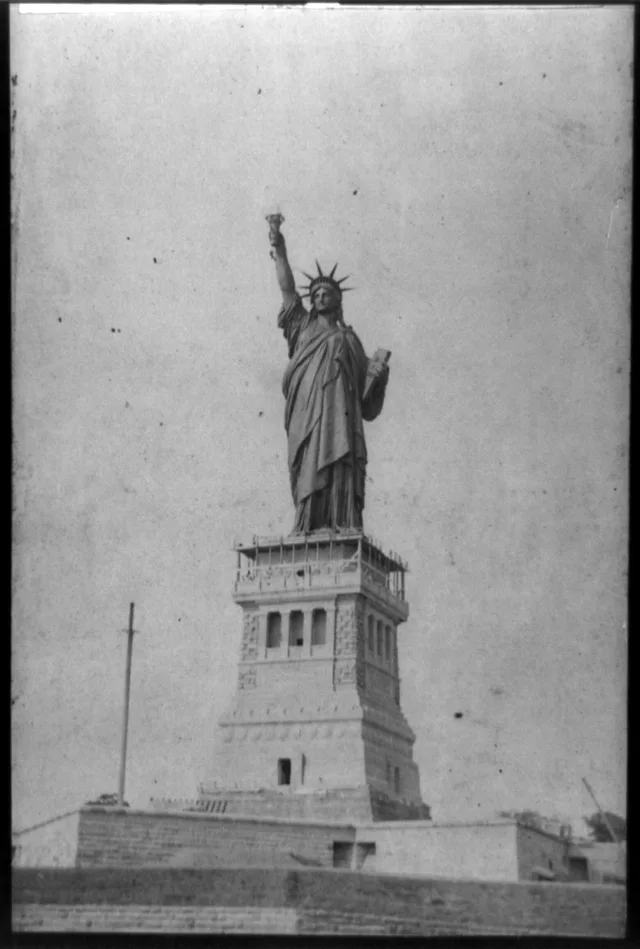
 自由女神像
 布鲁克林博物馆
 現代藝術博物館
 所羅門·古根漢美術館
 百老匯
 联合国总部大楼
 洛克菲勒中心
 世界貿易中心七號大樓
 美國自然史博物館
 美國銀行大廈
 卡内基大厅
 克萊斯勒大廈
 第五大道
 熨斗大廈
 大中央車站
 麦迪逊广场花园
 曼哈頓大橋
 新阿姆斯特丹
 紐約時報大廈
 世界貿易中心一號大樓
 圣巴特里爵主教座堂
 時報廣場
 杜林普大廈
 伍爾沃斯大樓
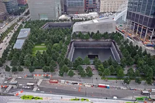 九一一国家纪念博物馆
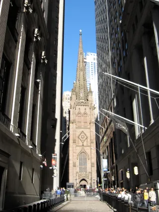 纽约三一教堂
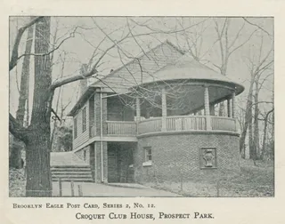 展望公园
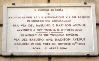 麥迪遜大道
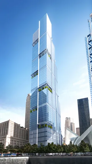 世界貿易中心二號大樓
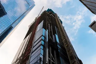 世界貿易中心三號大樓GE大樓
 康泰纳仕大厦
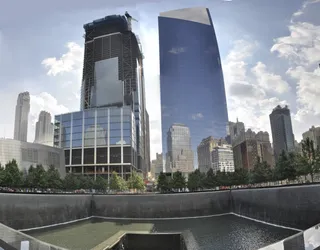 世界貿易中心四號大樓
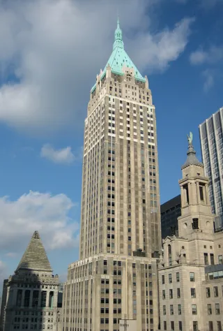 川普大樓
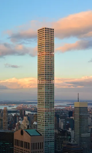 公园大道432号
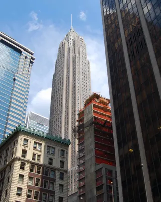 派恩街70号
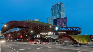 巴克萊中心
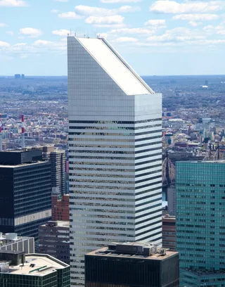 花旗集團中心
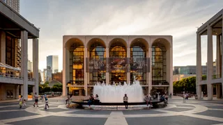 林肯表演藝術中心
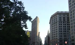 麦迪逊广场
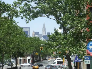 大都会保险公司大厦
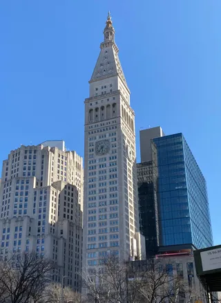 大都會人壽保險大樓
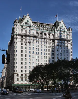 广场饭店
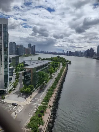 Queensboro橋
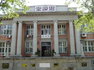 洛克菲勒基金會
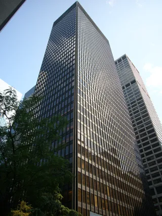 西格拉姆大厦
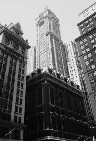 勝家大樓
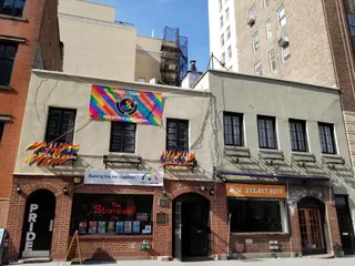 石牆酒吧
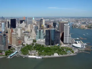 砲台公园
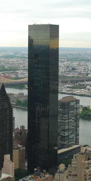 川普世界中心
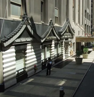 华道夫-阿斯多里亚酒店威廉斯堡大橋
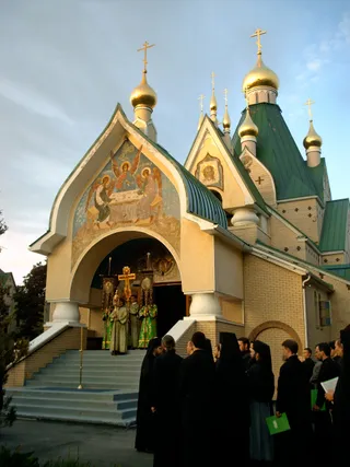 Holy Trinity Monastery
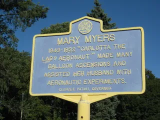 Balloon Farm
New York Harbor comprises the upper portion of New York Bay inside a broader coastal estuary. The East River acts as a tidal strait rather than a true freshwater stream, joining the harbor directly to Long Island Sound. Saltwater ebbs and flows between these connected passages, which complicates boat transit for regular commuters and long-term watercraft operators.
Native Lenape communities fished and paddled these waterways long before European navigators charted the anchorages. Deepening marine channels through the Narrows eventually permitted heavily laden cargo vessels to enter without waiting for high tide, turning local waterfront docks into high-traffic transport nodes that still govern regional movement today.