 距离 ≈ 30分钟芭东区
- 距离
- 6.8公里
 TravelHub
Residents structure their days around the enclosed bay and seasonal swell, trading highway mobility for a compact coastal village.
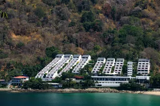
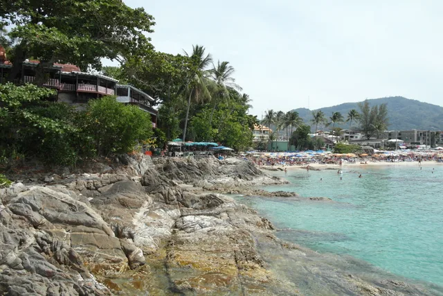
Kamala beach is a natural coastal inlet situated on the western edge of the island, characterized by a curved sandy shore and forested headlands. The settlement functions as a quiet residential alternative to high-density commercial strips further south. Seasonal shifts define the shoreline, turning gentle waters during the dry season into powerful breakers that halt swimming and shift daily life inland toward local markets.
Remote workers coordinate schedules across the Asia/Bangkok time zone while handling variable coastal connectivity during stormy spells. Local vendors settle transactions in Thai Baht through small street counters and convenience outlets rather than cards. Residents depend on motorbikes along the coastal corridor, because foot paths remain limited to the sand and immediate village lanes.
此处暂无免费住宿的房东 — 最近的此类城市为:
曼谷访客在 Google 地图上怎么说
Google 地图的评分和最新评价将按需加载。