 距离 ≈ 1小时帕邢寺
- 距离
- 4.8公里
 TravelHub
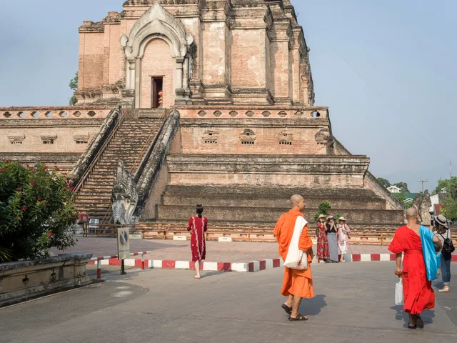
Residents around Wiang Kum Kam trade inner-city walkability for quiet backlanes, steering motorbikes past sunken archaeological brickwork on the morning run into Chiang Mai.
Wat Phan Lao remains an open-air ruined temple situated within the Wiang Kum Kam archaeological zone near Chiang Mai. Surviving structural elements consist of masonry plinths and foundation walls rather than functional halls. The absence of standing roofs or monastic quarters makes the complex an archaeological study site rather than an active religious ground, allowing visitors to examine historic Northern Thai brickwork directly.
Settling near the Wiang Kum Kam historical area separates long-term residents from the dense pedestrian core of urban Chiang Mai. Commuting between these scattered archaeological plots relies on private motorbikes along narrow peripheral roads. Field study across the ruined grounds requires self-reliance, as the outdoor architecture provides neither weather protection nor enclosed visitor facilities during heavy rainfall.
此处暂无免费住宿的房东 — 最近的此类城市为:
曼谷访客在 Google 地图上怎么说
Google 地图的评分和最新评价将按需加载。