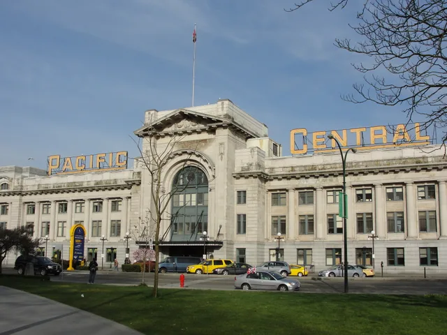
 距离 ≈ 50分钟太平洋中央車站
- 距离
- 4.1公里
 TravelHub
Residents plan their mornings around the waterfront seawall before commuter cyclists and beachgoers crowd the sand.
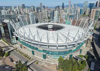 卑詩體育館
 溫哥華國際機場
 列治文奧林匹克橢圓速滑館
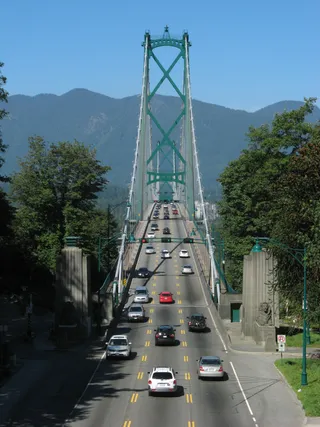 獅門橋
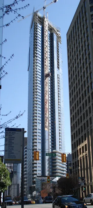 Living Shangri-La
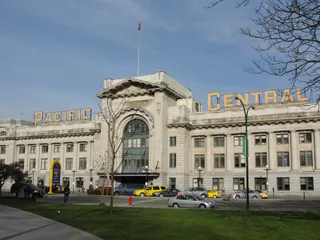 太平洋中央車站
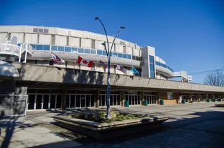 太平洋體育館
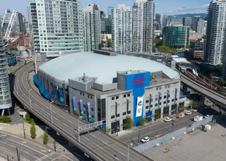 羅渣士體育館
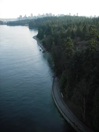 史丹利公園
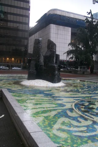 溫哥華美術館
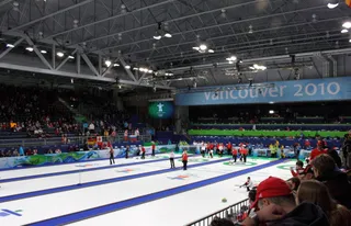 溫哥華奧運及殘奧中心
Vancouver residents initially called the shore Greer's Beach after settler Sam Greer, who farmed the waterfront before the provincial government granted his holdings to the Canadian Pacific Railway. Greer was evicted and his homestead destroyed. The railway considered turning the bay into an industrial shipping terminal, but ultimately abandoned port development and sold the parcels for suburban expansion.
Electric tram lines from downtown spurred seaside recreation, introducing beach campsites, a sports field, a dance pavilion over the water, and ferry links toward Jericho Beach. The municipality systematically acquired waterfront land to establish a permanent public park, clearing rocks and driftwood for swimmers. Later upgrades replaced the original bath house with a multi-level restaurant facility overlooking English Bay.
访客在 Google 地图上怎么说
Google 地图的评分和最新评价将按需加载。