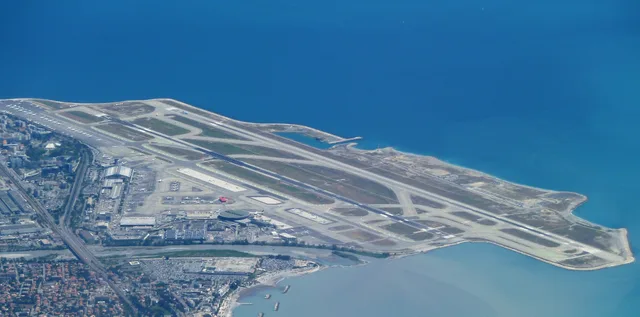
 ≈ 30 daq. masofadaNice Côte d'Azur Airport
- Masofa
- 6,2 km
 TravelHub
Residents treat the castle hill as a vertical cutoff between the old town and the port, where choosing an apartment on the wrong side of the rock means climbing steep stone stairs every time daily errands pull across town.
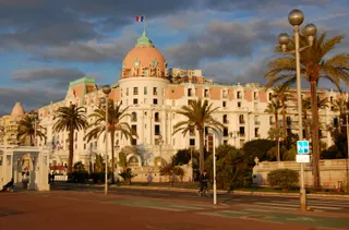 Hotel Negresco
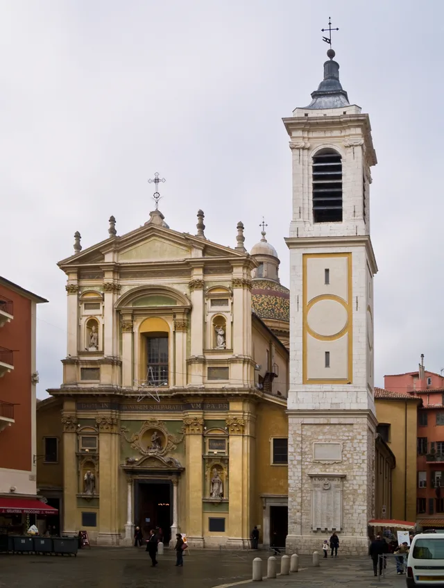
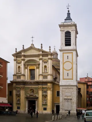 Nice Cathedral
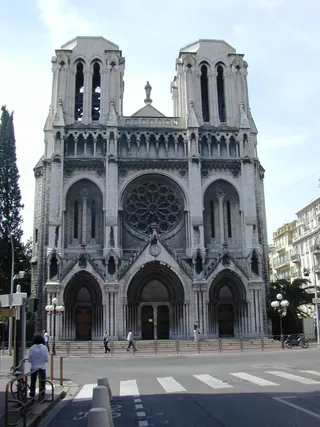 Notre-Dame de Nice
 musée Marc-Chagall
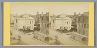 Église orthodoxe russe Saint-Nicolas et Sainte-Alexandra de Nice
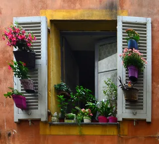 Synagogue de Nice
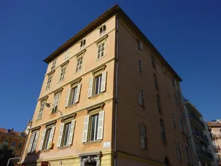 Immeuble Garacci-Bensa (Nice)
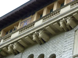 Palais Baréty
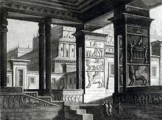 Palais Meyerbeer
The site represents the historic citadel grounds elevated over the urban grid of Nice, separating Vieux Nice from the port basin. The former fortress perimeter now operates as an open municipal park with ruins, stone walkways, and wide views across the bay. Visitors climb the promenades for sightseeing, while long-term tenants navigate the surrounding slopes as a daily boundary between residential quarters.
Living alongside the hill turns public elevation into a commute variable. Walking paths replace transit links along the limestone ridge, cutting off vehicular shortcuts between neighbouring districts. The local register coordinates community housing options across the urban territory, while central time zones govern municipal hours. Settling nearby requires accepting steep footpaths as an unavoidable component of daily routines.
Tashrif buyuruvchilar Google Xaritalarda nima yozadi
Google Xaritalardagi reyting va so‘nggi sharhlar so‘rov bo‘yicha yuklanadi.
Kerakli joyni topolmadingizmi? Qidiruv tizimi har qanday tilni tushunadi. Qidiruvni ochish