
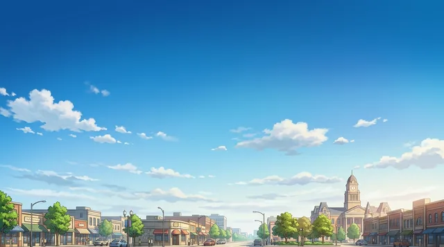
Plano: Travel guide, prices and free housing · 2026
Residents organize daily travel around highway junctions and arterial grid intersections, making a personal car essential for anyone settling outside the historic rail core.
- 1 day
- Interurban Railway Museum, Downtown Plano, Vickery Park
- 3 days
- + Heritage Farmstead Museum, Southfork Ranch
- 7 days
- + East Plano Islamic Center, Legacy Town Center
Plano is a structured corporate and residential hub defined by arterial road grids and regional rail links.
Plano operates on a wide grid system crossed by the Central Expressway, Dallas North Tollway, Sam Rayburn Tollway, and President George Bush Turnpike. Local navigation relies on major intersections rather than street addresses. The dispersed layout makes private vehicles the standard method for daily commuting, while bicycle paths primarily serve recreational use rather than practical transit across town.
Read on
Public transit connects through Dallas Area Rapid Transit rail services. The Silver Line runs directly from Dallas Fort Worth International Airport, while the Red Line links downtown Dallas to Downtown Plano station and the Parker Road terminus. Historic Downtown Plano clusters pubs and independent dining near the passenger rail platforms, whereas extended-stay hotels and corporate hubs concentrate along the western parkways.
- Road grid navigation
- Car dependency
- DART rail transit
- Historic Downtown
- The Silver Line commuter rail provides a direct transit connection between Dallas Fort Worth International Airport and Plano.
- Major regional routes crossing the municipality include the Central Expressway, Sam Rayburn Tollway, and Dallas North Tollway.
- The historic district centres around passenger rail access and features clustered pubs and dining establishments.
- Extended-stay accommodations equipped with kitchens cluster around the corporate corridors near Legacy Town Center.
Getting there and staying
- 01Connect to local cellular networks or activate an electronic SIM profile upon arrival.
- 02Withdraw cash from an automated teller machine or set up digital mobile payments.
- 03Board the regional commuter train or arrange a rideshare to your destination.
2 sources · As of November 3, 2026
Visa and practicalities
Choose a passport
Set your passport — processing time, fee and documents differ between passports.
Internships, au pair and study programmes have a different visa category and a different set of documents. Applications go through CMO International Programmes.
IEC international programmes- Local establishments routinely identify their location by the intersection of major roads.
- Cycling infrastructure exists, but bicycles are inadequate for navigating the vast layout of the city.
- Public buses and transit rail lines are integrated under a shared fare system.
How do you reach Plano from Dallas/Fort Worth International Airport on public transit?
Dallas Area Rapid Transit operates the Silver Line directly between the airport and Plano. Riders can connect to the Red Line to reach Downtown Plano station and Parker Road station.
Source: WikivoyageDo you need a car to get around Plano?
Driving is the most practical way to navigate the municipality due to its sprawling layout. The road network follows a grid system supported by express routes like the Dallas North Tollway and the George Bush Turnpike. Cycling paths exist in select areas, though long distances limit biking as a primary transit option.
Source: WikivoyageWhat public transit services operate in Plano?
Dallas Area Rapid Transit manages local bus connections and passenger rail corridors in the area. The Red Line light rail connects Dallas with Downtown Plano station and Parker Road station. On-demand shuttles and connecting buses provide onward transit from the rail terminals.
Source: WikivoyageHow can travelers reach Plano from Dallas Love Field Airport?
A dedicated shuttle bus links the airport terminal to Inwood/Love Field Station. From that transit point, passengers can ride rail lines directly or transfer to the Silver Line to enter Plano.
Source: WikivoyageGetting here
When to go and itineraries
- 10:00Interurban Railway MuseumExamine historic electric rail transit cars and regional transportation artifacts.
- 13:00Heritage Farmstead MuseumTour the preserved Victorian-era agricultural grounds and historic farm outbuildings.
- 16:00Southfork RanchVisit the iconic estate grounds and explore regional ranch exhibits.
Stay longer on a programme
Work and Travel, internships, au pair and volunteering in United States: visa, invitation and on-site support are handled by CMO International Programmes.

Cities of United States
Countries nearby
Frequent questions about Plano
Can’t find the place you need? Search understands any language. Open search