
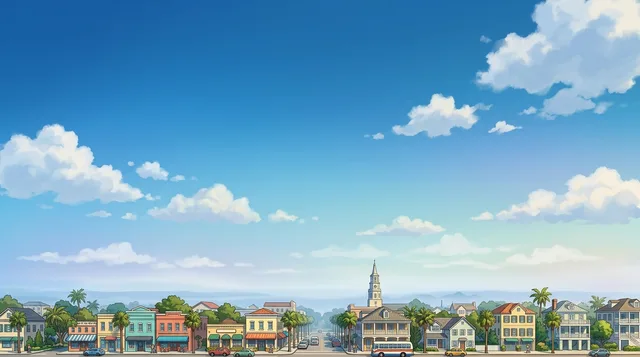
Isle of Palms: Travel guide, prices and free housing · 2026
Residents run errands along Palm Boulevard by golf cart and bicycle, but staying for months demands a car to cross the inlet for mainland supplies.
- 1 day
- Isle of Palms County Park, Ocean Blvd, Palm Blvd
- 3 days
- + Breach Inlet, Intracoastal Waterway, Wild Dunes
- 7 days
- + Sullivan's Island, Mount Pleasant, Cooper River Marina
Isle of Palms is a residential barrier island bordered by open ocean and the Intracoastal Waterway.
A narrow barrier island separated from the mainland by the Intracoastal Waterway, the city functions without public transit. Residents and seasonal workers travel along Palm Boulevard on bicycles and permitted golf carts. Mainland access depends entirely on private cars or taxis. Municipal police strictly enforce vehicle codes and curb lines, issuing fines for any tire resting outside designated street markings.
Read on
Originally inhabited by the Sewee and formerly named Long Island, the land developed from a ferry retreat into residential neighborhoods and the private Wild Dunes resort community. Breach Inlet marks the passage where the historic submarine Hunley departed during the Civil War. Coastal erosion threatens the northeastern oceanfront, requiring dredged sand replenishment to stabilize building foundations against storm surges.
- Golf cart transit
- Parking enforcement
- Wild Dunes
- Breach Inlet
- Beach erosion
- The island was originally inhabited by the Sewee people before European settlement.
- Prior to its current name, the barrier island was known as Long Island and Hunting Island.
- Underwater archaeological discoveries of sunken Civil War blockade runners led to the passage of state antiquities legislation.
- The city lacks public transit connections to neighboring mainland communities.
Getting there and staying
- 01Acquire an eSIM profile or local cellular service for navigation.
- 02Withdraw local currency from a bank terminal using a debit card.
- 03Hail a taxi or book private motor transport across the bridge to the lodging.
2 sources · As of November 3, 2026
Visa and practicalities
Choose a passport
Set your passport — processing time, fee and documents differ between passports.
Internships, au pair and study programmes have a different visa category and a different set of documents. Applications go through CMO International Programmes.
IEC international programmes- Vehicles parked over designated lines receive violation tickets from local police.
- Golf carts are permitted for travel across the entire island.
- Public transit does not serve the island, requiring travel by personal vehicle or taxi.
Is public transit available to Isle of Palms?
Public transit to the island does not operate. Travelers rely on private vehicles or taxis connecting from Charleston.
Source: WikivoyageHow can visitors get around Isle of Palms without a car?
Bicycles and walking serve as practical transport across the island. Golf carts are also permitted throughout the street network.
Source: WikivoyageWhat should drivers expect regarding parking on Isle of Palms?
Local police enforce traffic and parking regulations strictly. Parking over designated boundary lines routinely results in citations.
Source: WikivoyageWhere is Isle of Palms located?
The city sits on an oceanfront barrier island in South Carolina. It is separated from the mainland by the Intracoastal Waterway and forms part of the greater Charleston metropolitan area.
Source: WikipediaDoes Isle of Palms have a county park?
The Charleston County Park and Recreation Commission operates Isle of Palms County Park. The agency maintains this dedicated public recreation space within the county system.
Source: Wikipedia2 sources
Getting here
When to go and itineraries
- 09:00Isle of Palms County ParkThe county park provides managed access to the oceanfront beach under county park administration.
- 12:30Ocean BoulevardThe beachfront road holds local dining and lodging with direct pedestrian paths to the sand.
- 15:30Palm BoulevardThe primary island thoroughfare accommodates bicycle and golf cart transit with strict parking enforcement.
- 18:00Breach InletThe inlet separates the island from Sullivan's Island and marks the departure point of historical wartime submarine missions.
Stay longer on a programme
Work and Travel, internships, au pair and volunteering in United States: visa, invitation and on-site support are handled by CMO International Programmes.

Cities of United States
Places in Isle of Palms
Countries nearby
Frequent questions about Isle of Palms
Can’t find the place you need? Search understands any language. Open search