
 ≈ 55 min awayLong Beach
- Month
- ≈ $3,067
- Distance
- 36 km
 TravelHub
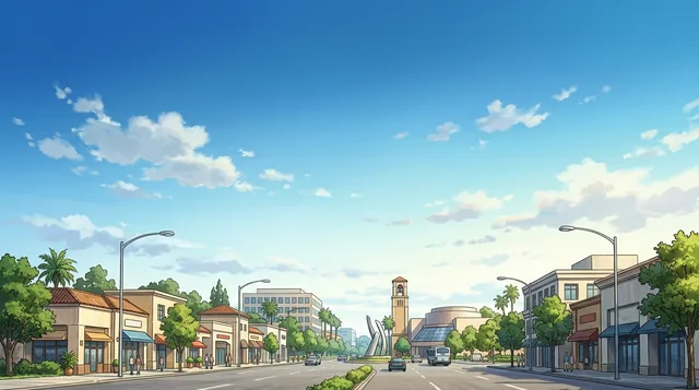
Residents learn immediately to follow double yellow lines out of winding subdivisions, because master-planned tracts lack through streets and hide essential services inside large shopping plazas.
Suburban subdivisions replace typical street grids with curving loops that confuse unfamiliar drivers, who rely on double yellow lines to reach arterial roads. Gas stations sit concealed inside commercial parking plazas rather than on street corners. Living here demands a private vehicle for routine tasks, since public bus routes run primarily during weekday commute windows while arterial lanes lead outward to perimeter freeways.
Paved greenbelts create a separate bicycle network that traverses the municipality from north to south with minimal highway crossings at grade level. Off-road paths skirt protected wildlife corridors where cyclists regularly spot native birds and coyotes. For regional travel, passenger trains at the local transit center connect to Los Angeles and San Diego, providing an alternative to congested commuter freeways.
Commercial plazas function as communal downtowns. Complexes like Diamond Jamboree, Culver Plaza, and Heritage Square gather Asian bakeries, specialty markets, and Persian food halls under shared parking lots. Federal studies record Irvine among the safest American cities, allowing pedestrians to walk late at night. Late social life centers on retail complexes, where police strictly monitor surrounding roads for impaired drivers.
Choose a passport
Set your passport — processing time, fee and documents differ between passports.
Internships, au pair and study programmes have a different visa category and a different set of documents. Applications go through CMO International Programmes.
IEC international programmesJohn Wayne Airport borders the city directly and provides the most immediate access. Travelers also use Long Beach Airport or Los Angeles International Airport to reach the area by car. Car rental agencies operate near the local terminal.
Source: Wikivoyage · WikivoyageNavigating the suburban layout is difficult without a private vehicle. The Orange County Transportation Authority operates scheduled local buses, but coverage across residential sectors remains limited. Bicycling is a viable alternative along designated greenbelt corridors and on-road lanes.
Source: WikivoyageAmtrak Pacific Surfliner passenger trains serve the Irvine Transportation Center along coastal rail routes. Metrolink commuter rail provides additional weekday connections between Los Angeles, the Inland Empire, and neighboring counties. Local transit buses timed to train arrivals operate mainly during peak morning and evening commutes.
Source: WikivoyageThe city features an extensive network of off-street trails and paved street lanes. Cyclists can traverse the urban center along grade-separated greenbelts that link directly to surrounding foothills. Regional buses and passenger trains permit riders to bring bicycles aboard for longer journeys.
Source: WikivoyageRoadways in residential developments curve frequently rather than adhering to an urban grid layout. Service stations rarely sit along major thoroughfares and are typically tucked inside large commercial plazas. Major arterial avenues eventually connect to regional freeways and toll roads.
Source: Wikivoyage · WikivoyageCommercial centers such as Diamond Jamboree, Walnut Plaza, and Culver Plaza cluster diverse East Asian and Southeast Asian eateries. These centers feature noodle shops, barbecue restaurants, bakeries, and food courts attached to international grocery markets. Peak evening and weekend hours bring heavy dining crowds to these plazas.
Source: WikivoyageFederal crime studies consistently identify Irvine as one of the safest cities in the United States. Pedestrians face hazards primarily from fast vehicular traffic on wide arterial streets, making marked crossings essential. Local police strictly monitor driving behavior around nightlife clusters and conduct frequent sobriety stops.
Source: Wikivoyage · WikivoyageWork and Travel, internships, au pair and volunteering in United States: visa, invitation and on-site support are handled by CMO International Programmes.
≈ 55 min awayLong Beach ≈ 3 hr 55 min awaySan Jose
Can’t find the place you need? Search understands any language. Open search