
Branson: Travel guide, prices and free housing · 2026
Residents depend on private motor vehicles to navigate steep terrain and evening theater traffic in a resort town with no municipal public transit.
- 1 day
- Branson Scenic Railway, Branson Landing, The Strip
- 3 days
- + Silver Dollar City, Table Rock Lake
- 7 days
- + Big Cedar, St. James Winery, Rock Lane Resort
Commercial performance venues and lakeside residential districts define local infrastructure.
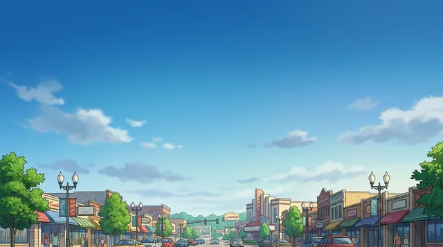
The urban layout develops around commercial entertainment corridors without a municipal bus network. Daily mobility requires private vehicles or local taxi operators. Road congestion peaks along the central entertainment strip around evening performance hours. Residents rely on designated color-coded alternate routes to bypass heavy traffic corridors and navigate between residential districts and regional bypasses.
Read on
Housing inventory centers on furnished condominiums, motel properties, and residential rental units spread toward Table Rock Lake. Commercial activity concentrates dining options around traditional barbecue smokehouses, dinner theaters, and waterfront developments at Branson Landing. Regional transit connects through commercial airports across the Ozark region, alongside passenger excursion trains from the historic downtown depot.
- Entertainment Corridor
- Color-Coded Bypass Routes
- Table Rock Lake
- Absence of Public Transit
- The city lacks a municipal public bus transit network.
- Designated color-coded road routes provide alternatives to traffic on the main strip.
- The Branson Scenic Railway runs passenger excursion train trips departing from the downtown station.
- Regional air connections operate through Springfield-Branson National Airport and seasonal carriers at the local airfield.
Getting there and staying
- 01Connect to the airport terminal wireless internet or enable cellular roaming data.
- 02Withdraw local currency from an automated teller machine.
- 03Board a regional taxi or collect a prearranged rental vehicle.
2 sources · As of November 3, 2026
Visa and practicalities
Choose a passport
Set your passport — processing time, fee and documents differ between passports.
Internships, au pair and study programmes have a different visa category and a different set of documents. Applications go through CMO International Programmes.
IEC international programmes- Drivers can utilize designated color-coded routes to navigate around heavy local traffic.
- The city does not operate a regular municipal bus network.
- Evening and weekend road travel requires heightened attention due to distracting theatrical lighting along major roads.
Which commercial airports serve Branson?
Springfield–Branson National Airport serves as the primary commercial airport in the region. Branson Airport provides seasonal flights from select destinations. General aviation traffic uses M. Graham Clark Downtown Airport in Point Lookout.
Source: WikivoyageIs public transit available in Branson?
The city lacks a public bus network. Visitors travel by car, hire local taxis, or take the Branson Scenic Railway for excursion trips.
Source: WikivoyageHow do motorists manage traffic congestion in Branson?
Traffic builds up along the main entertainment strip, especially before evening theater performances. The city uses designated color routes to help drivers find alternate paths around busy roads.
Source: WikivoyageWhat types of accommodations are located along Table Rock Lake?
The lakefront features full-service resorts, private cabins, bed-and-breakfasts, and condominium rentals. Several establishments provide direct marina docks and watercraft rentals.
Source: WikivoyageGetting here
When to go and itineraries
- 09:30Branson Scenic RailwayBoard the vintage passenger train at Main Street for a scenic rail trip into the surrounding hills.
- 12:30Branson LandingWalk the lakefront promenade for lunch and retail shopping along the boardwalk.
- 15:00Table Rock LakeHead south to the lake for boat rentals or views across the water.
- 10:00Silver Dollar CitySpend the morning exploring the Ozark craft exhibits and theme park grounds.
- 14:00St. James WineryStop for local wine tasting along the scenic highway corridor.
- 18:00Big CedarEnjoy lakeside dining and evening entertainment in a rustic setting.
Stay longer on a programme
Work and Travel, internships, au pair and volunteering in United States: visa, invitation and on-site support are handled by CMO International Programmes.

Cities of United States
Countries nearby
Frequent questions about Branson
Can’t find the place you need? Search understands any language. Open search