
- Відстань
- 17 км
Блек Маунтейн · Сполучені Штати Америки
Мітчелл: що навколо, як дістатися і коли їхати · 2026
Living at the base of the Black Mountain range requires private transport along mountain roads, but you gain immediate access to Eastern America's highest ridgeline.
Що навколо3
Курс валюти1,00 $станом на 2 лист. 2026 р.
Про місце
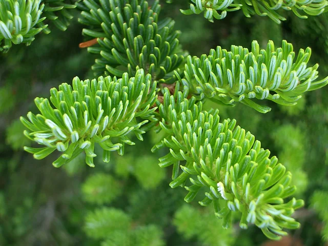
The highest summit in the Appalachian chain anchors a dense spruce-fir highland inside state park boundaries.
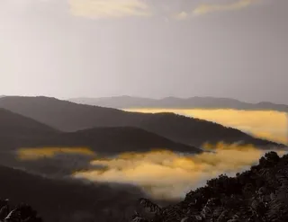
Mount Mitchell rises as the highest peak in the Appalachian Mountains and the tallest point in North America east of the Mississippi River. The mountain stands inside Mount Mitchell State Park, bordered on all sides by the federally managed Pisgah National Forest. Cherokee residents historically called the summit Attakulla before European-American settlers termed it Black Dome.
Читати далі
Road access branches off the scenic Blue Ridge Parkway along a dedicated state route leading up to summit parking facilities. A paved footpath climbs through native conifer forest straight to an elevated public observation deck. Long-term stays nearby in the Black Mountain range demand preparation for rapid weather changes and limited mountain road access in rough weather.
Асоціації
- Blue Ridge Parkway
- Summit observation deck
- Severe mountain weather
Факти
- The mountain constitutes the highest geographic elevation in mainland North America east of the Mississippi River.
- The Cherokee people historically occupied the surrounding homeland and named the peak Attakulla.
- Mount Mitchell State Park protects the mountain territory alongside the surrounding Pisgah National Forest.
- A state highway directly links the mountain summit parking area to the Blue Ridge Parkway.
Мітчелл у світлинах3 фотографії
Дорога та житло
2 джерела · Станом на 3 листопада 2026 р.
Джерело: TravelHub · OurAirports (public domain)
Схоже поблизу
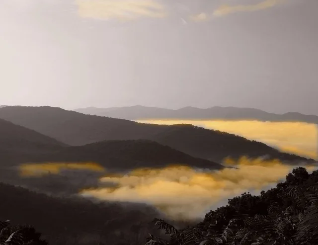 ≈ 5 хв у дорозіБлакитний хребет
- Відстань
- 100 м
Міста Сполучені Штати Америки
Місця в Мітчелл
Країни поруч
Часті питання про Мітчелл
Не можете знайти потрібне місце? Пошук розуміє будь-яку мову. Відкрити пошук