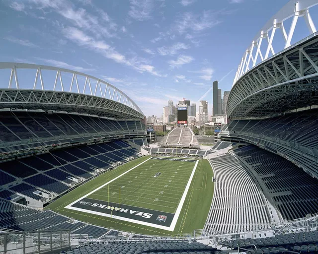
 Сенчурі Лінк Філд
- Відстань
- 970 км
 TravelHub
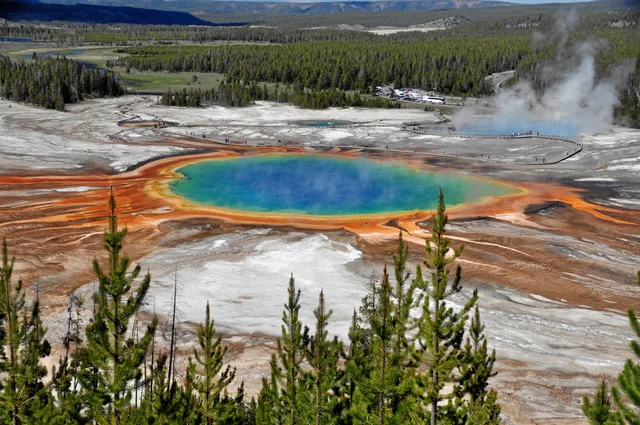
Living on-site means tracking sudden weather shifts and road washouts while sharing mountain passes with seasonal bison herds.
 Музей мистецтва Метрополітен
 Волл-стріт
 Білий дім
 Всесвітній торговий центр
 Бруклінський міст
 Центральний парк
 Емпайр-Стейт-Білдінг
 Золота Брама
 Міжнародний аеропорт імені Джона Кеннеді
 Статуя Свободи
 Пентагон
 Вілліс Тауер
 Бруклінський музей
 Центр Ґетті
 Музей Ґетті
 Музей сучасного мистецтва
 Музей Соломона Ґуґґенгайма
 Bronx Zoo
 Арка Гейтвей
 Сенчурі Лінк Філд
 Мерседес-Бенц Стедіум
 NRG-Стедіум
 Юнайтед-центр
 Бродвей
 Штаб-квартира ООН
 Рокфеллерський центр
 Всесвітній торговий центр 7
 Джон Генкок Центр
 Американський музей природознавства
 Аон центр
 Художній інститут Чикаго
 AT&T стадіон
 Башта Банку Америки
 Верайзон-центр
 Карнегі-хол
 Крайслер Білдінг
 Коні-Айленд (Бруклін)
 Гонолулу
 Діснейленд
 П'ята авеню
 Праска
 Гранд-Сентрал-Стейшн
 Індіанаполіс Мотор Спідвей
 Аеропорт Ла-Гуардія
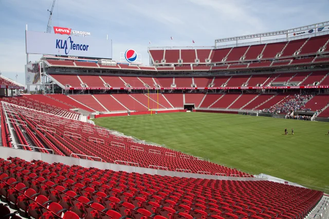
 Леві Стедіум
 Медісон-сквер-гарден
 Мангеттенський міст
 Новий Амстердам
 Будівля Нью-Йорк Таймс
 Міжнародний аеропорт Ньюарк Ліберті
 Всесвітній торговий центр 1
 Зала слави рок-н-ролу
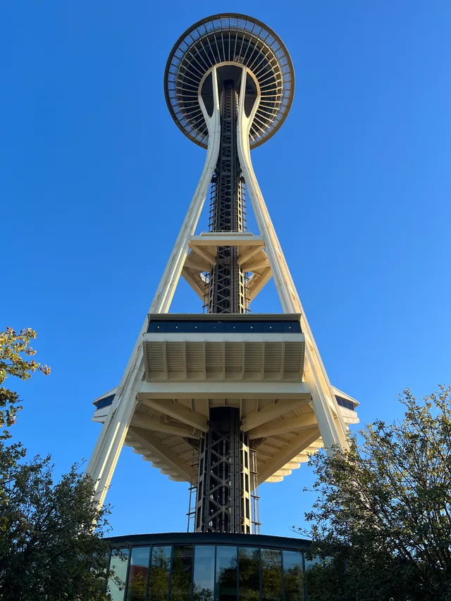
 Space Needle
 собор Святого Патріка
 Таймс-Сквер
 Трамп-тауер
 Військово-морська Академія США
 Будинок Вулворт
Subalpine forest covers the dominant share of the park terrain, stretching across state borders into Montana and Idaho. Hydrothermal basins punctuate the timberland, sending boiling water through geysers such as Old Faithful. Anyone spending a season here contends with active volcanic geology and high-altitude weather patterns that dictate daily travel routes.
Archaeological evidence places indigenous hunting camps near the central lake during warm seasons, relying on obsidian quarries to produce tools. Trails carved along northern ridges later connected regional native groups moving toward hunting territories. Mountain trappers encountered these boiling springs decades before formal survey expeditions documented the basin.
Severe weather patterns alter park access without warning. Winter brings sub-zero freezes, while late spring runoff can produce catastrophic flooding along the main river corridors, taking out critical bridges and electrical connections. High-elevation passes regularly see snowfall regardless of the calendar month, complicating extended wilderness deployments.
Не можете знайти потрібне місце? Пошук розуміє будь-яку мову. Відкрити пошук