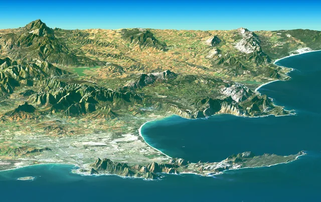
 ≈ 40 хв у дорозіКапський півострів
- Відстань
- 19 км
 TravelHub
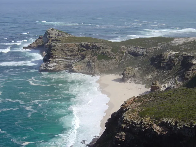
Living near the southern tip of the peninsula means facing relentless coastal winds and daily Atlantic weather shifts that govern travel along the headland.
 Кейптаун
 ФНБ-Стедіум
 Нельсон Мандела Бей
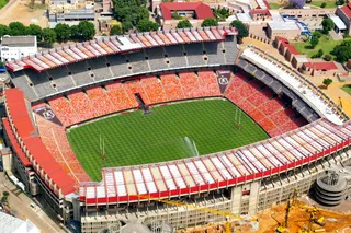 Кока-Кола Парк
 Стадіон імені Лофтуса Версфельда
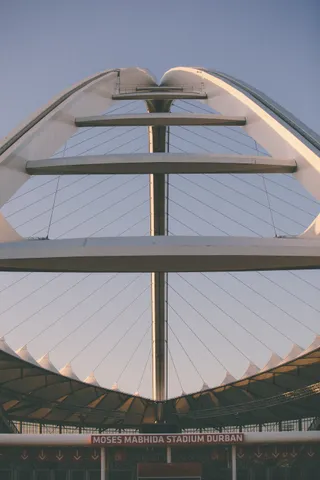 Мозес Мабіда
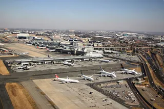 Міждародний аеропорт імені О. Р. Тамбо
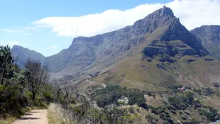 Столова гора (національний парк)
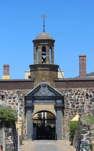 Замок Доброї Надії
 Apartheid Museum
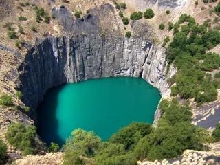 Велика діра
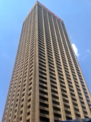 Башта Карлтон Центру
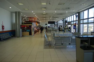 Chief Dawid Stuurman International Airport
 Вежа Хіллброу
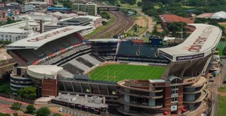 Kings Park Stadium
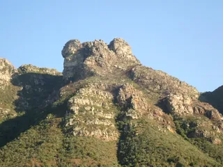 Kirstenbosch National Botanical Garden
 Newlands Stadium
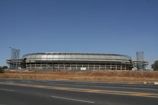 Orlando StadiumПонте-Місто
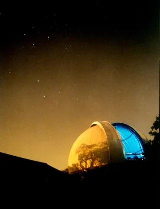 Обсерваторія мису Доброї Надії
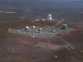 Південноафриканська астрономічна обсерваторія
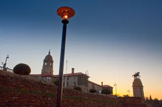 Union Buildings
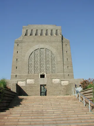 Voortrekker Monument
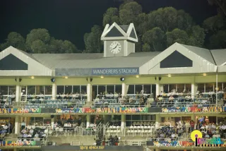 Wanderers Stadium
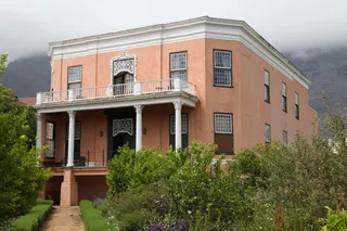 Rust en Vreugd
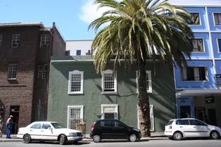 Palm Tree Mosque
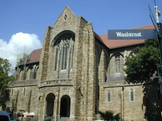 St. George's Cathedral
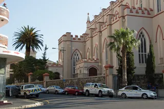 St. Mary's Cathedral
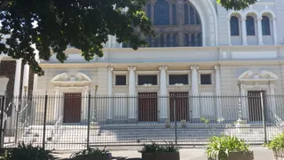 Gardens Shul
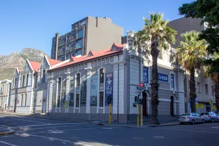 District Six Museum
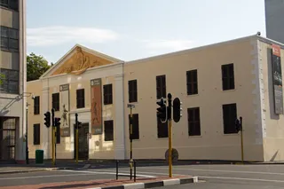 Slave Lodge
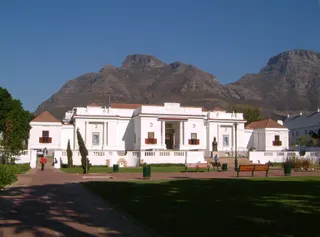 Південноафриканська національна галерея
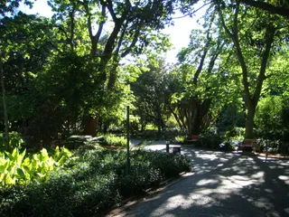 Company's Garden
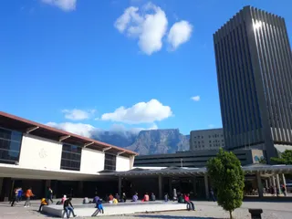 Golden Acre
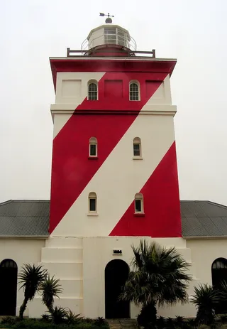 Green Point Lighthouse
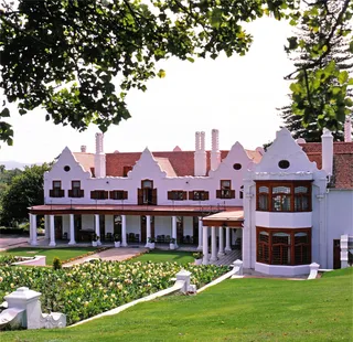 Groote Schuur
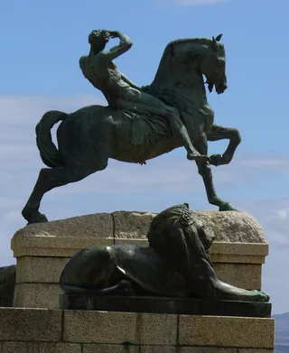 Rhodes Memorial
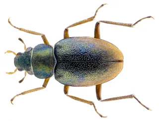 Triangle House
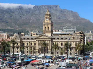 Cape Town City Hall
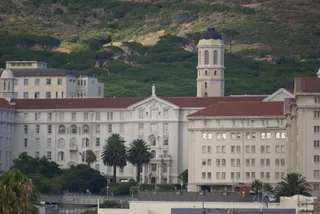 Groote Schuur Hospital
 Houses of Parliament
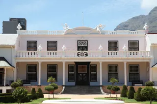 Tuynhuys
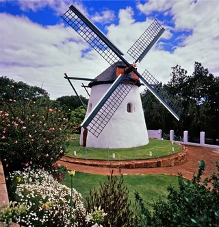 Mostert's Mill
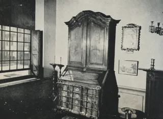 Koopmans-de Wet House
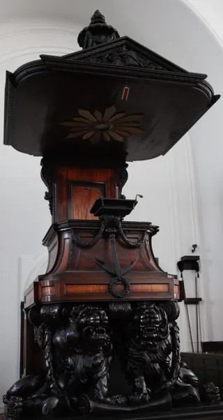 Groote Kerk
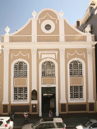 South African Sendinggestig Museum
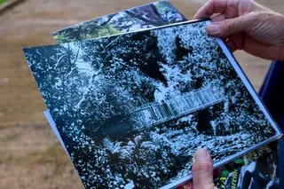 Arderne Gardens
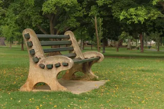 De Waal Park
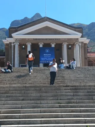 University of Cape Town
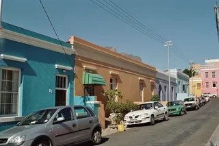 Bo-Kaap
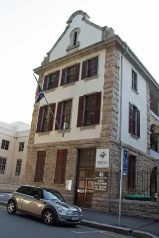 Huguenot Memorial Building
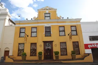 Martin Melck House
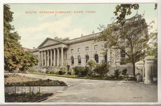 National Library of South Africa
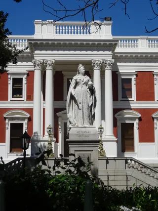 Queen Victoria
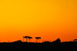 Rondebosch Common
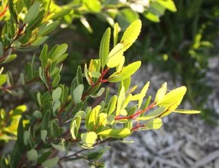 Signal Hill
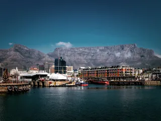 Table Mountain
The Cape of Good Hope stands as a rocky headland on the Atlantic coast of the Cape Peninsula. Early mariners treated the passage around the promontory as an opening between major ocean basins. Historical accounts connect early voyages across these waters to Mediterranean seafarers and ancient records preserved by regional observers.
Venetian cartography identified the tip as Cape Diab while charting the junction between the Atlantic and the Indian Ocean. Historic reports recorded long voyages across these tempestuous seas where sailors navigated by astrolabe without magnetic compasses. Modern residents encounter the same stark coastline shaped by open waters.
Що пишуть відвідувачі на Google Maps
Рейтинг і свіжі відгуки з Google Maps завантажаться на запит.
≈ 40 хв у дорозіКапський півострів ≈ 4 год 10 хв у дорозіПорт-Елізабет
Не можете знайти потрібне місце? Пошук розуміє будь-яку мову. Відкрити пошук