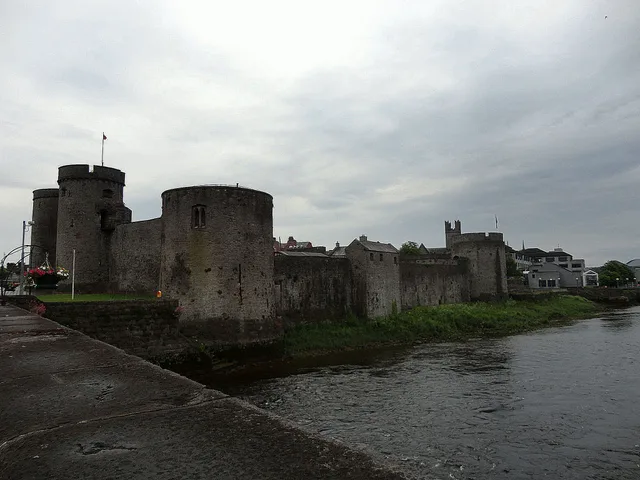
 Замок Короля Джона
- Відстань
- 64 км
 TravelHub
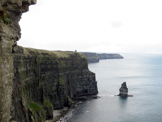
Coastal winds dictate daily life along this limestone shelf, forcing long-term residents to rely on regional bus links to Doolin rather than walking exposed trails.
 Авіва
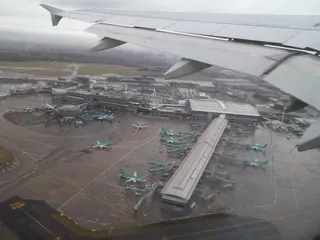 Дублінський аеропорт
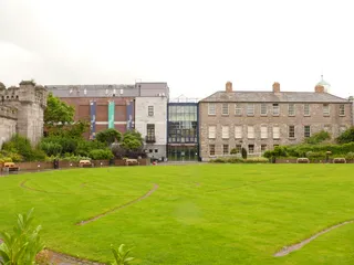 Бібліотека Честера Бітті
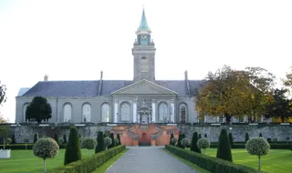 Ірландський музей сучасного мистецтва
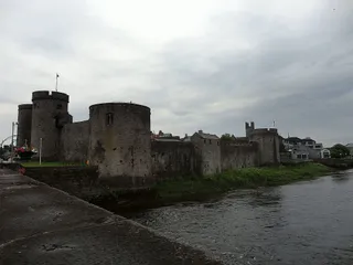 Замок Короля Джона
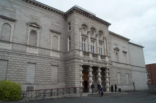 Національна галерея Ірландії
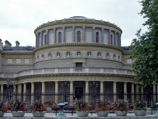 Національний музей Ірландії
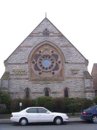 Dublin Mosque
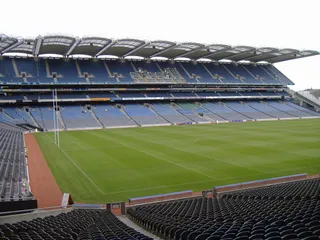 Кроук Парк
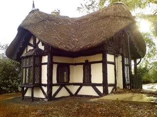 Dublin Zoo
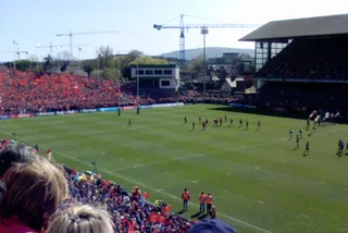 Lansdowne Road
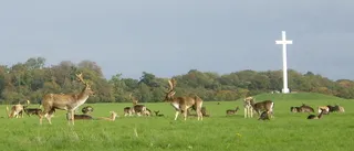 Phoenix Park
 Талла (стадіон)
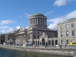 Будівля чотирьох судів
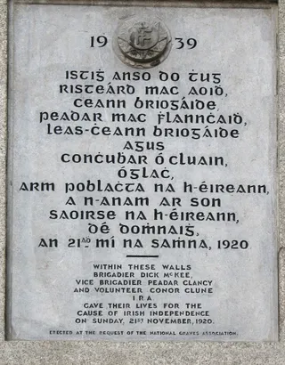
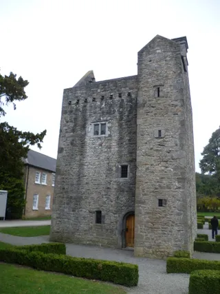 Замок Ештаун
 Дублінський замок
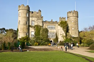 Замок Малахайд
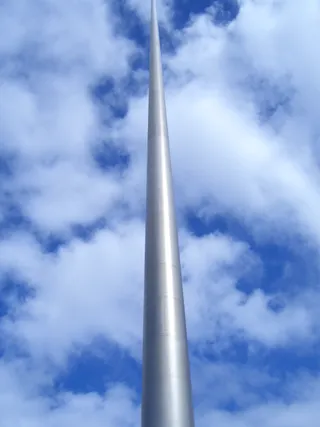 Шпиль Дубліна
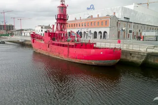 3Arena
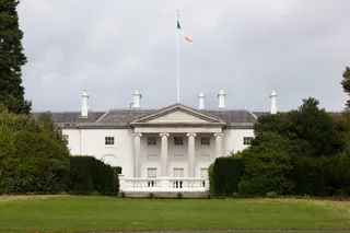 Áras an Uachtaráin
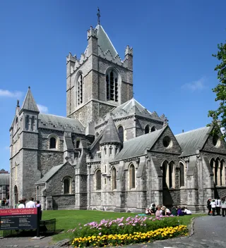 Christ Church Cathedral, Dublin
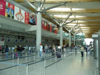 Корк
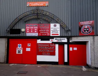 Dalymount Park
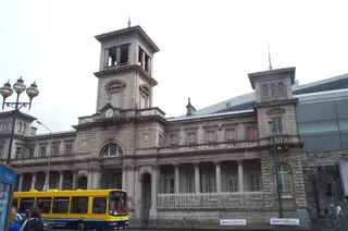 Dublin Connolly railway station
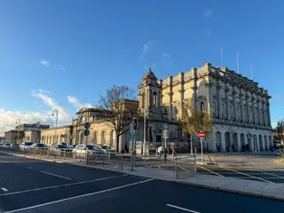 Dublin Heuston railway station
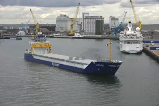 Дублінський порт
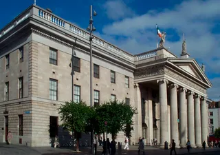 General Post Office
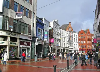 Grafton Street
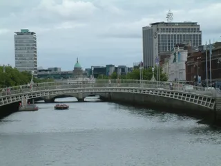 Міст Полпенні
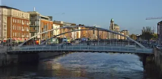 Міст Джеймса Джойса
 Jameson
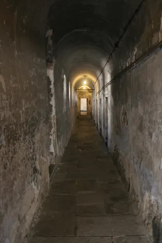 Кілмаінхам Гол
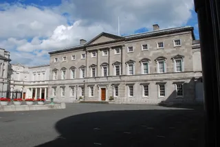 Ленстер-хаус
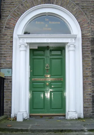 Мерріонський сквер
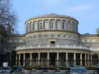 Національна бібліотека Ірландії
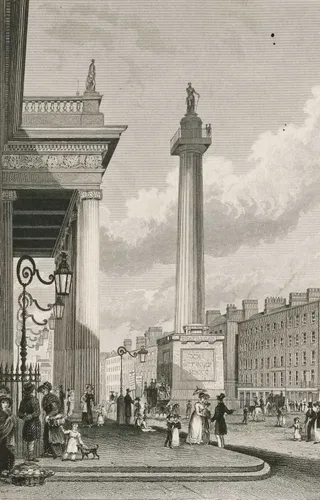 Nelson's Pillar
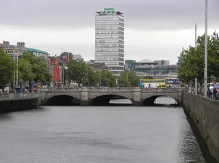 Міст О'Коннелла
 O'Connell Street
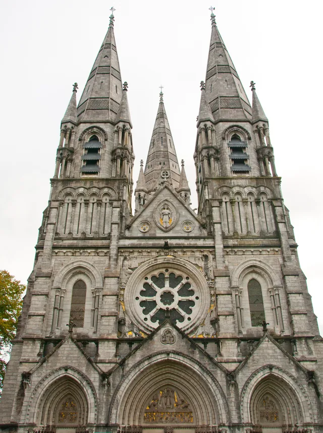
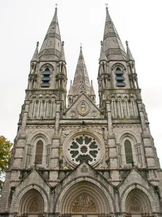 Собор Святого Фінбара
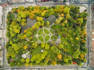 Парк Святого Стівена
 Міст Семюеля Беккета
 St Mary's Cathedral
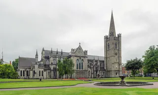 Кафедральний собор Святого Патрика
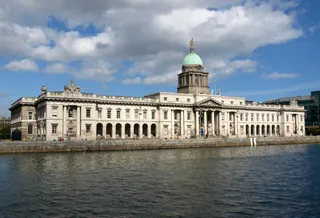 The Custom House
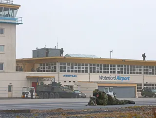 Waterford Airport
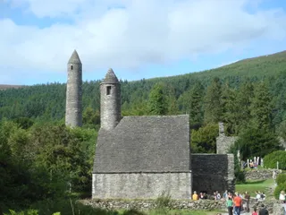 Глендалох
Atlantic swell shapes the perimeter of the Burren, where limestone precipices extend from Hag's Head past O'Brien's Tower toward Doolin. Daily regional transit connects the coastal boundary directly to Galway and Ennis, giving base settlements steady connections even when dense coastal fog covers the water.
Tourism pressures shape every facility along the rim. An underground subterranean visitor centre maintains exhibits powered by geothermal and solar generation, while coastal transit shuttles disperse passenger loads away from vulnerable natural pathways during heavy tourist seasons.
Не можете знайти потрібне місце? Пошук розуміє будь-яку мову. Відкрити пошук