
- Mesafe
- 19 km
Kinşasa · Kongo Demokratik Cumhuriyeti
Pool Malebo: çevrede ne var, nasıl gidilir ve ne zaman · 2026
Long-term residents along the southern shore balance daily routines against the water gap facing Brazzaville, where ferry links substitute for bridges and violent downriver rapids block all direct passage toward the sea.
Konum hakkında
A broad river basin opens into calm water before the current drops toward violent cataracts.
The basin forms a wide natural boundary separating Kinshasa from Brazzaville on the opposite shore, placing sovereign capitals directly across open water. Historically recorded under names such as Mpumbu and Lake Ntamo, the expanse marks the final navigable stretch before the current plunges into the impassable Livingstone Falls. Daily river ferries link the shores, maintaining an active international crossing point.
Okumaya devam et
Regional commerce historically relied on the pool as a pivotal transshipment junction. Coastal trading paths ended here, meeting upstream routes that carried pottery, salt, ivory, and rubber from the interior. The Tio Kingdom dominated this merchant exchange under rulers bearing the title Makoko, while Bahumbu communities administered the southern territory from their inland capital at Lemba, behind the surrounding hills.
Dernekler
- Livingstone Falls
- Brazzaville
- Tio Kingdom
- Lemba
Gerçekler
- The water basin marks an international boundary separating the Republic of the Congo from the Democratic Republic of the Congo.
- Kinshasa and Brazzaville face each other across the pool as national capitals on opposing banks.
- Downstream water drains directly into the Livingstone Falls, terminating navigability toward the Atlantic.
- Historical inland authority on the southern shore operated from the Bahumbu capital at Lemba.
- The basin historically functioned as the primary transshipment hub connecting coastal paths with interior trade.
Ulaşım ve konaklama
2 kaynak · 3 Kasım 2026 tarihi itibarıyla
Kaynak: TravelHub · OurAirports (public domain)
Google yorumları
Ziyaretçilerin Google Haritalar'da yazdıkları
Google Haritalar'daki puan ve son yorumlar istek üzerine yüklenir.
Yakındaki benzer yerler
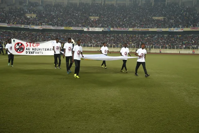 ≈ 40 dk. uzaklıktaStade des Martyrs
- Mesafe
- 21 km
Kongo Demokratik Cumhuriyeti şehirleri
Pool Malebo içindeki yerler
Aradığınız yeri bulamadınız mı? Arama motoru her dili anlar. Aramayı aç