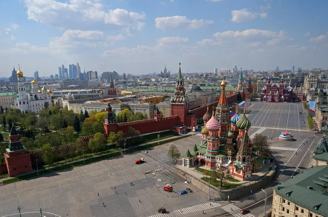
 ≈ 30 min de distânciaPraça Vermelha
- Distância
- 2,2 km
 TravelHub
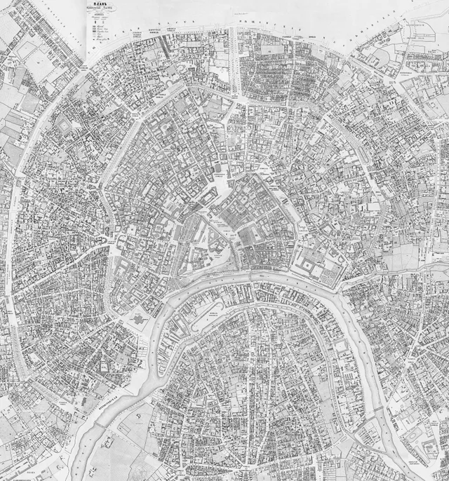
Living inside the circular avenue turns the historic rampart line into your primary compass for navigating downtown transit routes.
The thoroughfare follows the perimeter of the former Zemlyanoy Gorod ramparts, replacing earlier defensive lines built after sixteenth-century raids. Authorities leveled the earthen barriers to build roads, requiring homeowners to cultivate perimeter foliage. This requirement created tree-lined lanes that gave the corridor its modern identity.
Urban transit adapted across decades as horsecar tracks and electric tram networks took over the circle. The loop still defines central travel patterns, connecting older market zones, ceremonial squares, and administrative hubs across several districts. Residents rely on its continuous line to traverse radial streets without crossing the inner core.
≈ 30 min de distânciaPraça Vermelha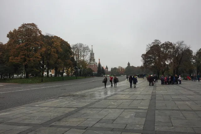 ≈ 30 min de distânciaKremlin
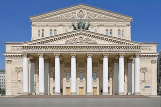
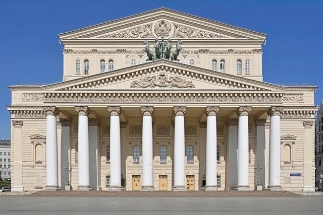 ≈ 20 min de distânciaTeatro Bolshoi
Não encontrou o local que precisa? A pesquisa entende qualquer idioma. Abrir pesquisa