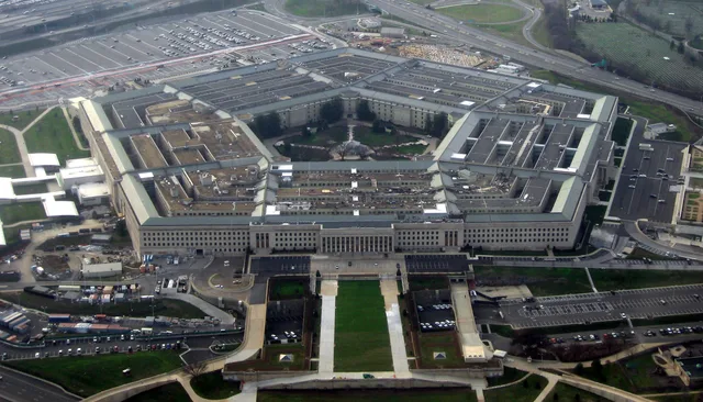
 ≈ 30 min drogiPentagon
- Odległość
- 2,2 km
 TravelHub
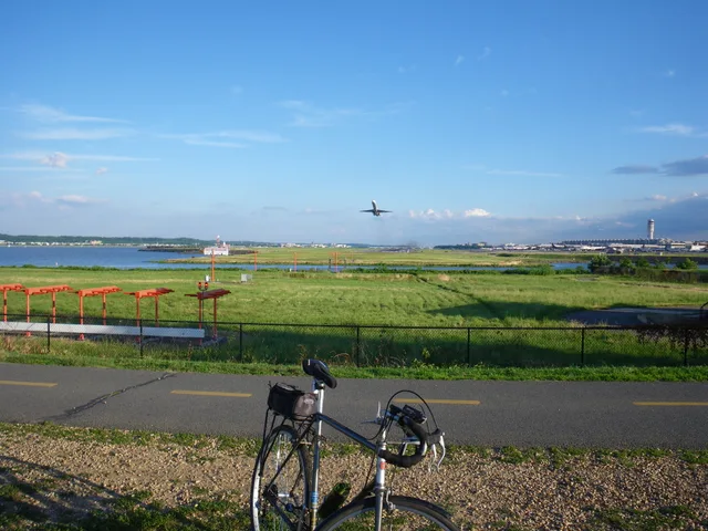
Residents settling in Crystal City hear jet engines rattling their windows from dawn onward, but they gain a direct rail platform that eliminates highway traffic entirely.
The airfield operates under federal ownership through the Metropolitan Washington Airports Authority, serving the capital region alongside Dulles International Airport. Engineers built the riverfront runways on dredged mudflats near Gravelly Point, placing the terminal complex in Arlington County right beside Crystal City and National Landing. Federal legislation places the grounds inside Virginia for alcohol taxation.
Early operations replaced older landing strips where guards stopped automobile traffic during takeoffs. Contractor John McShain built the permanent terminal, and the airfield introduced grooved civil runways to maintain aircraft traction during storms. Today, an integrated Metrorail station links the gates to regional neighborhoods, while the on-site station supplies official capital weather observations.
Co piszą odwiedzający w Mapach Google
Ocena i najnowsze opinie z Map Google wczytają się na żądanie.
≈ 30 min drogiPentagon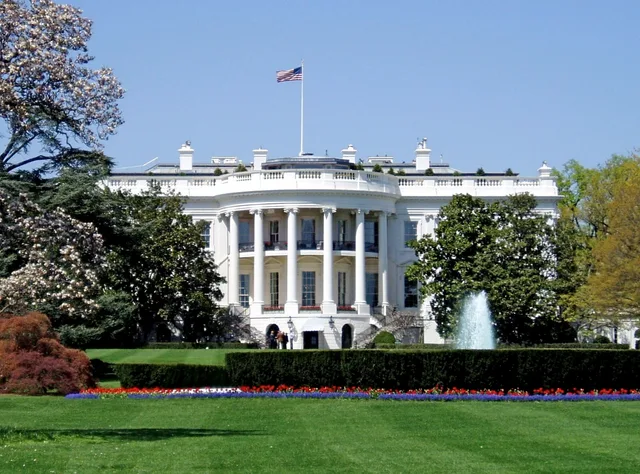 ≈ 1 godz. drogiBiały Dom
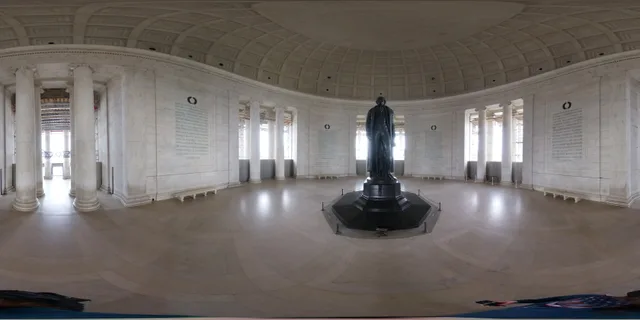 ≈ 40 min drogiJefferson Memorial
Nie możesz znaleźć miejsca, którego potrzebujesz? Wyszukiwarka rozumie każdy język. Otwórz wyszukiwarkę