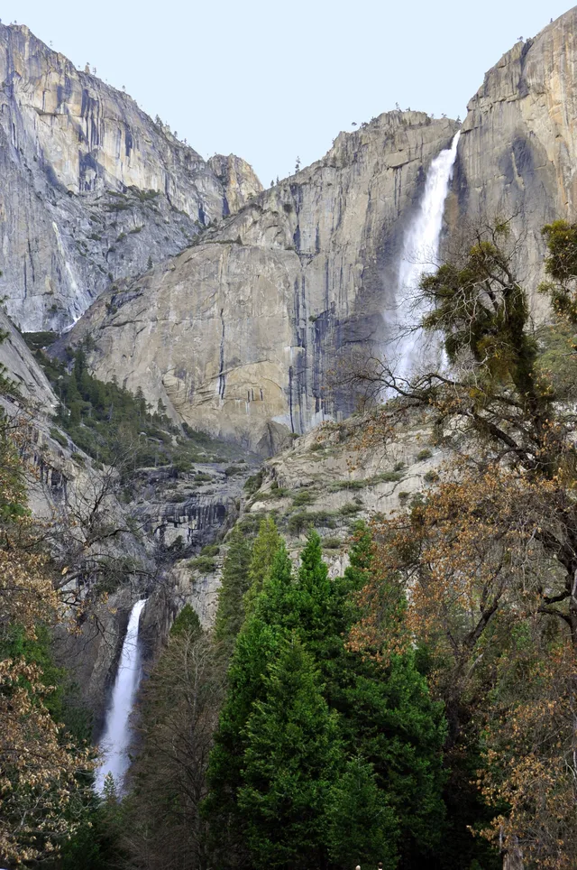
 ≈ 25 min attālumāYosemite Falls
- Attālums
- 5,7 km
 TravelHub
Living on the valley floor means planning routines around seasonal park access permits and base camps like Camp 4.
 Metropoles mākslas muzejs
 Volstrīta
 Baltais nams
 Pasaules tirdzniecības centrs
 Bruklinas tilts
 Centrālparks
 Empire State Building
 Zelta vārtu tilts
 Džona Kenedija starptautiskā lidosta
 Brīvības statuja
 Pentagons
 Vilisa tornis
 Bruklinas muzejs
 Getī centrs
 Žana Pola Getī muzejs
 Modernās mākslas muzejs
 Solomona Gugenheima muzejs
 Bronksas Zooloģiskais dārzs
 Gateway Arch
 Lumen Field
 Mercedes-Benz Stadium
 Reliant Stadium
 United Center
 Brodveja
 Apvienoto Nāciju ēka
 Rockefeller Center
 7 World Trade Center
 875 North Michigan Avenue
 American Museum of Natural History
 Aon Center
 Čikāgas mākslas institūts
 AT&T Stadium
 Bank of America tornis
 Capital One Arena
 Kārnegija zāle
 Chrysler Building
 Coney Island
 Daniel K. Inouye International Airport
 Disnejlenda
 Piektā avēnija
 Flatiron Building
 Ņujorkas Centrālā stacija
 Indianapolisas trase
 Lagardijas lidosta
 Levi's Stadium
 Madison Square Garden
 Manhetenas tilts
 New Amsterdam
 New York Times Building
 Newark Liberty International Airport
 One World Trade Center
 Rokenrola slavas zāle
 Space Needle
 Ņujorkas Svētā Patrika katedrāle
 Taimskvērs
 Trampa tornis
 United States Naval Academy
 Woolworth Building
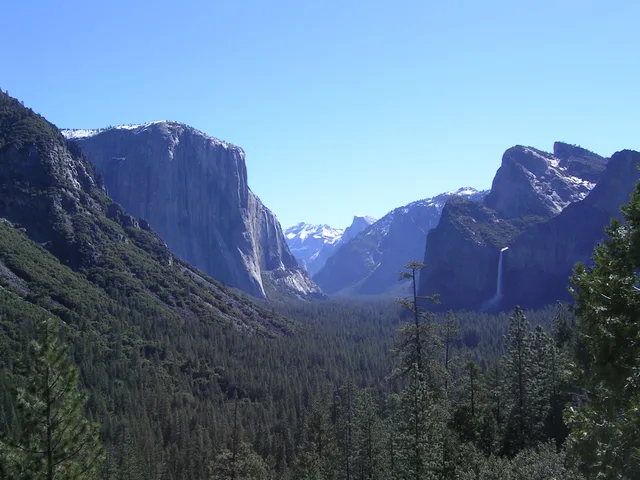
A deep canyon carved by glaciers holds towering granite summits like El Capitan and Half Dome alongside dense pine woods. Streams and tributaries feed into the Merced River, producing high waterfalls during spring runoff. The enclosed landscape attracts world rock climbers who attempt sheer vertical monoliths around the basin.
Extended stays require navigating park entry limits, permit lotteries for routes like Half Dome, and recurring wildfire closures. Climbers gather at Camp 4 before wall ascents, balancing strict backcountry regulations against severe crowd congestion. Early Indigenous Ahwahnechee managed the meadows with controlled burns before military expulsion.
≈ 25 min attālumāYosemite Falls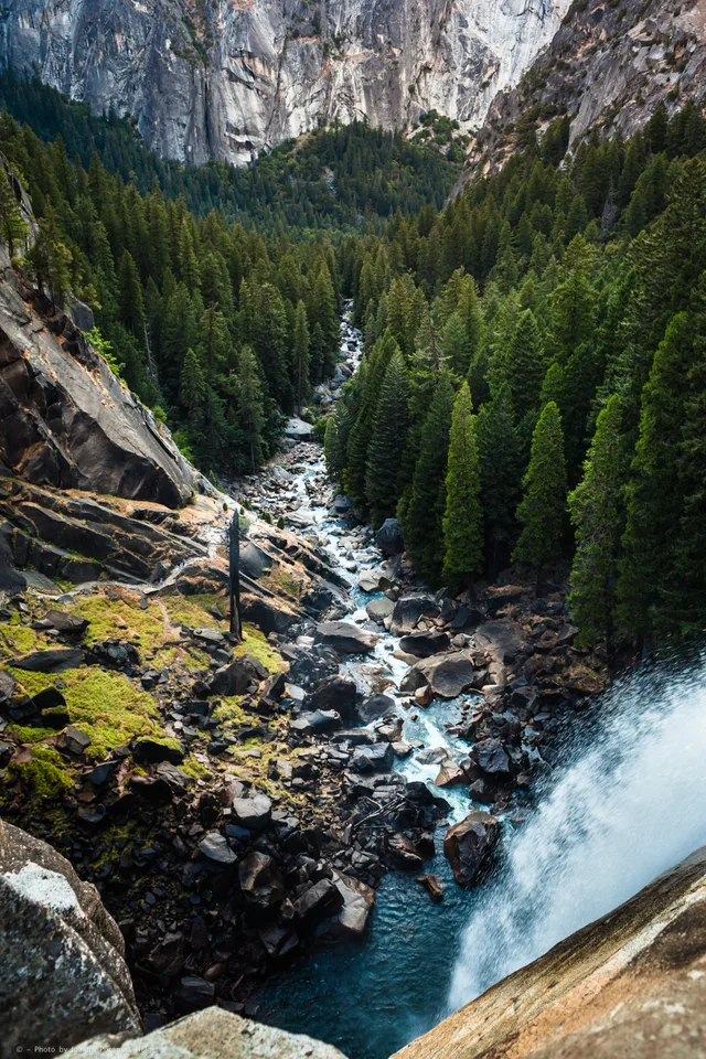 ≈ 30 min attālumāJosemitu nacionālais parks
 ≈ 3 st. 25 min attālumāSanhosē
Nevarat atrast vajadzīgo vietu? Meklēšana saprot jebkuru valodu. Atvērt meklēšanu