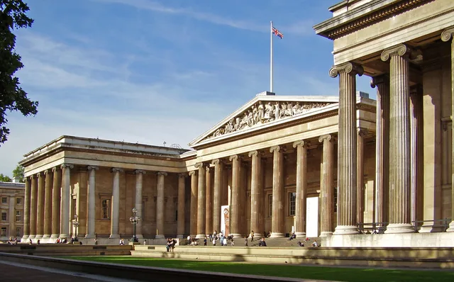
 ≈ 30 min attālumāBritu muzejs
- Attālums
- 2,5 km
 TravelHub
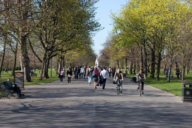
Residents living along the Burton terraces split their days between Camden and Westminster, trading standard city streets for daily walking routes past the boating lake and the zoo.
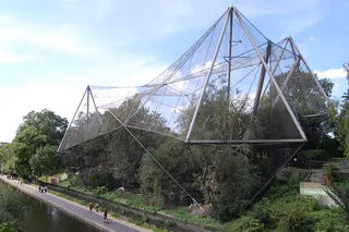
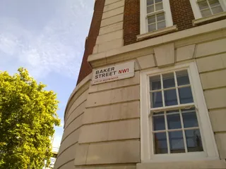
The parkland stands in north-west Inner London under the joint administration of Westminster and Camden. Broad open lawns surround an ornamental lake, while major institutions occupy the outer border. London Zoo sits along the northern edge, and Regent's University operates within the Inner Circle. Outer footpaths connect quiet gardens directly to busy transit hubs including Baker Street and Marylebone.
Residents encounter an early model of the garden suburb rather than an ordinary public common. Property developer James Burton funded the project, while Decimus Burton designed the neoclassical terraces that define the perimeter. Former royal hunting grounds and dairy pastures became residential enclaves like Chester Terrace. Daily routines center on walking routes between the ornamental waters and surrounding stations.
Šeit vēl nav bezmaksas izmitināšanas saimnieku — tuvākā pilsēta, kurā viņi ir:
ParīzeKo apmeklētāji raksta Google Maps
Vērtējums un jaunākās atsauksmes no Google Maps ielādēsies pēc pieprasījuma.
≈ 30 min attālumāBritu muzejs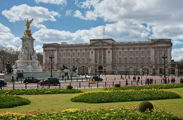 ≈ 45 min attālumāBekingemas pils
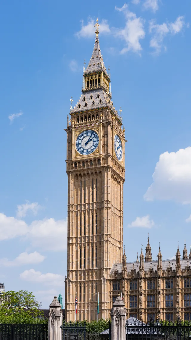 ≈ 55 min attālumāBigbens
Nevarat atrast vajadzīgo vietu? Meklēšana saprot jebkuru valodu. Atvērt meklēšanu