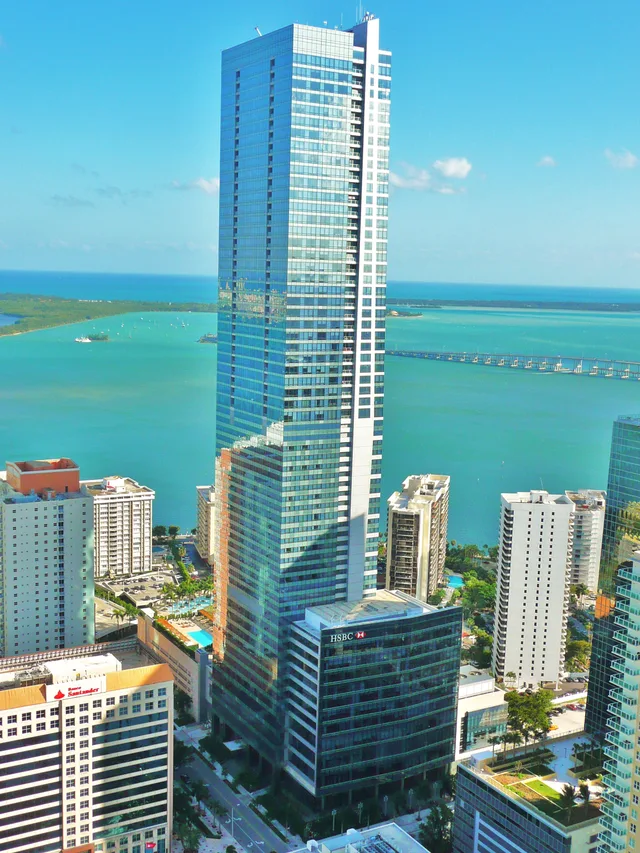
 ≈ 40 წთ გზაშიFour Seasons Hotel Miami
- მანძილი
- 22 კმ
 TravelHub
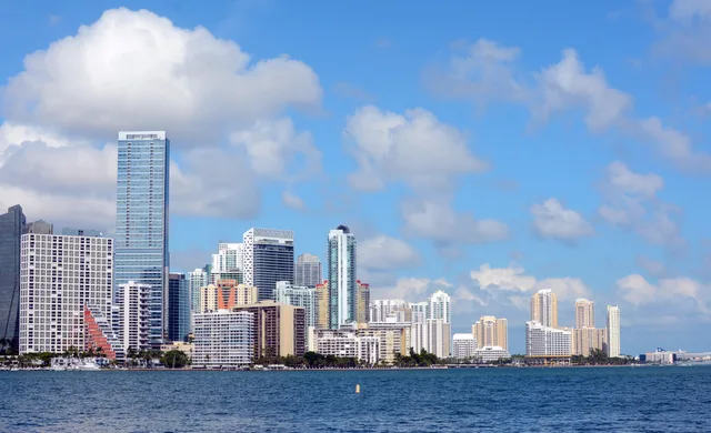
Living beside this lagoon places maritime shipping corridors on one side and federally preserved shallows on the other.
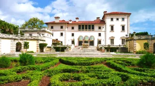 Vizcaya Museum and Gardens
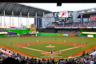 LoanDepot Park
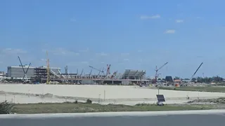 Nu Stadium
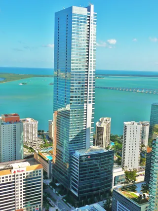 Four Seasons Hotel Miami
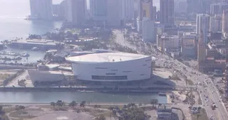 Kaseya Center
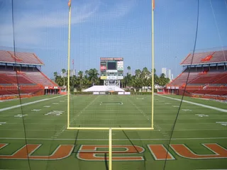 Miami Orange Bowl
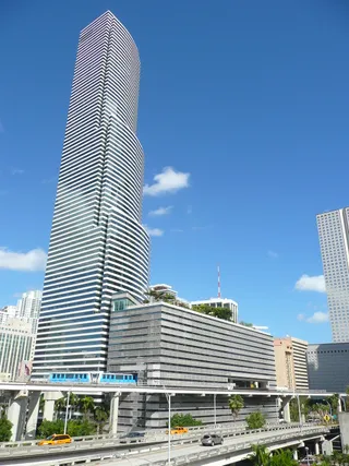 Miami Tower
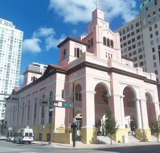 Gesu Church
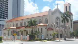 Trinity Episcopal Cathedral
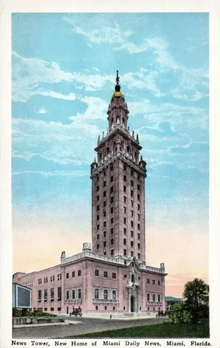 Freedom Tower
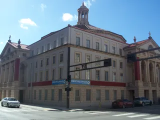 Central Baptist Church
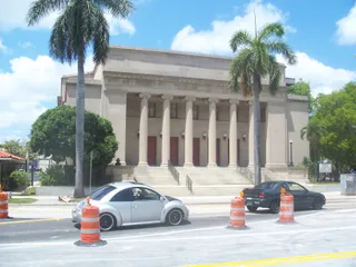 First Church of Christ, Scientist
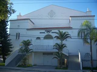 Greater Bethel Head Start
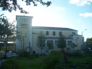 Mount Zion Baptist Church
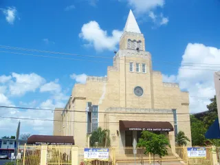 St. John's Baptist Church
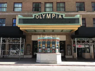 Olympia Theater at Gusman Center
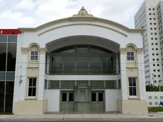 The Black Archives Historic Lyric Theater
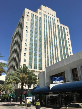 Alfred I. DuPont Building
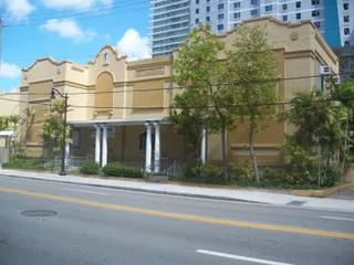 Southside Elementary School
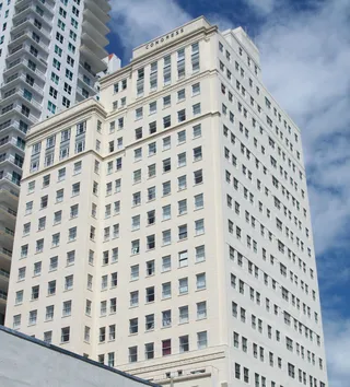 The Congress Building
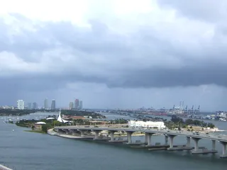 Venetian Way
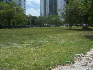 Algonquin Apartments
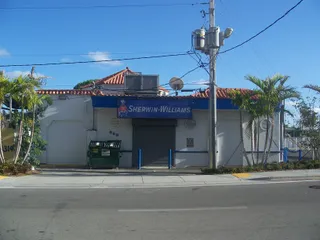 Atlantic Gas Station
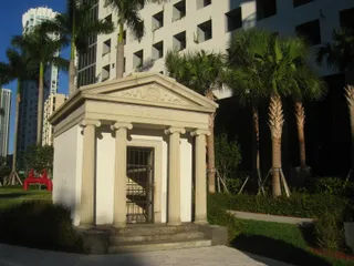 Brickell Mausoleum
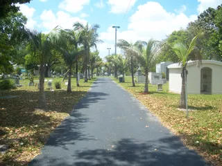 City Cemetery
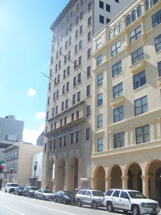 City National Bank Building
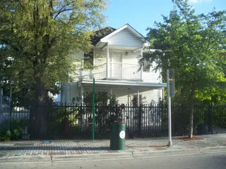 Dana A. Dorsey House
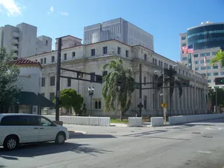 David W. Dyer Federal Building and United States Courthouse
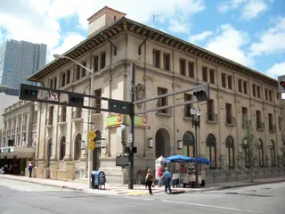 Downtown Miami Historic District
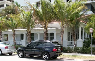 Dr. James M. Jackson Office
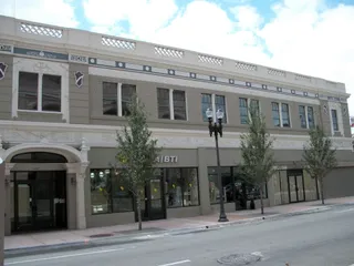 Hahn Building
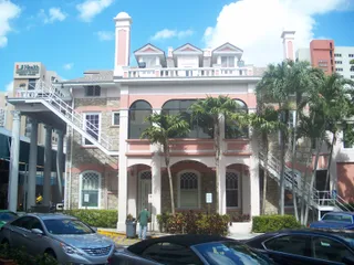 Halissee Hall
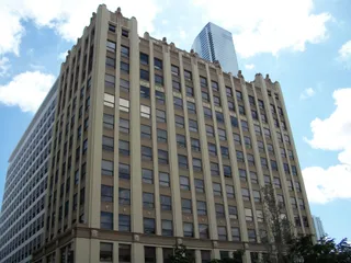 Huntington Building
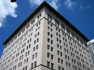 Ingraham Building
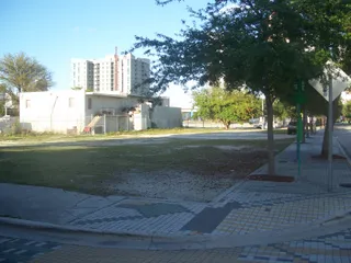 J & S Building
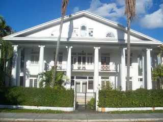 J. W. Warner House
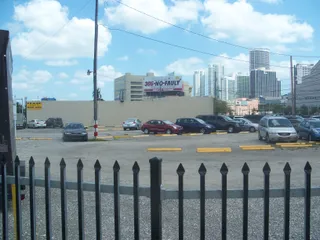 Kentucky Home
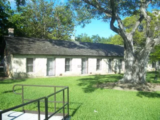 Lummus Park
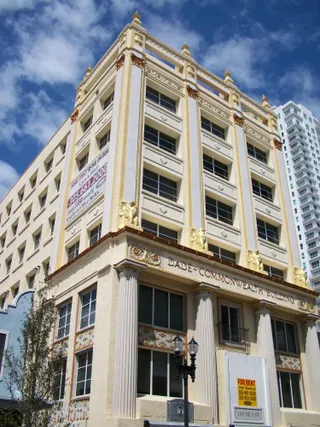 Meyer-Kiser Building
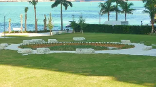 Miami Circle at Brickell Point
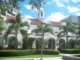 Miami City Hospital, Building No. 1
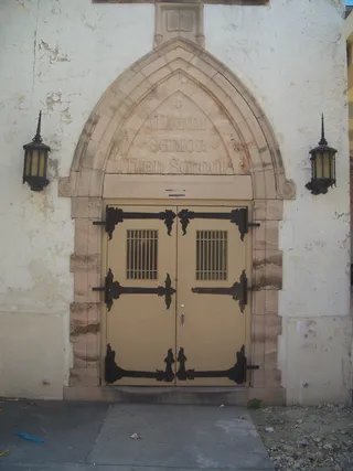 Miami High School
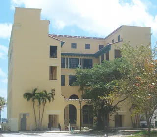 Miami Women's ClubOld United States Post Office and Courthouse
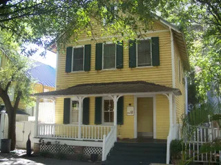 Palm Cottage
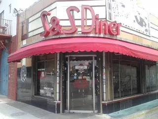 S & S Sandwich Shop
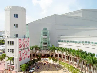 Sears, Roebuck and Company Department Store
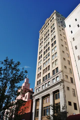 Security Building
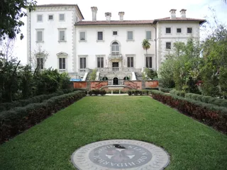 Villa Serena
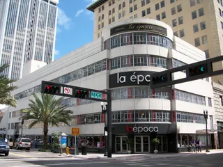 Walgreen Drug Store
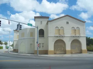 Fire Station No. 2
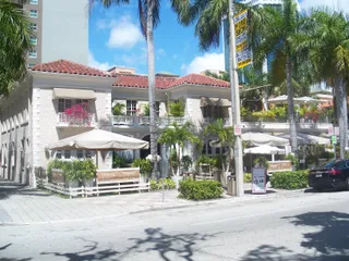 Fire Station No. 4
Biscayne Bay functions as a coastal lagoon and estuary along the mainland. Intense commercial development flanks the northern basin, where artificial islands and seawalls define the shoreline. Farther south, human modification recedes into Biscayne National Park, leaving open shallows and unpaved shorelines largely intact.
Centuries of hydraulic engineering reshaped the water system. Cutting channels through barrier spits introduced higher salinity into what was once a freshwater basin fed by bottom springs. Urban runoff and shipping operations alter the northern channels, requiring ongoing ecological monitoring to track water clarity.
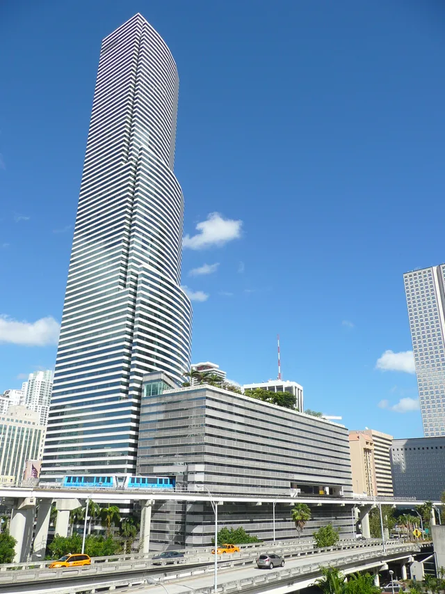 ≈ 40 წთ გზაშიMiami Tower
ვერ პოულობთ სასურველ ადგილს? საძიებო სისტემას ნებისმიერი ენის ესმის. ძიების გახსნა