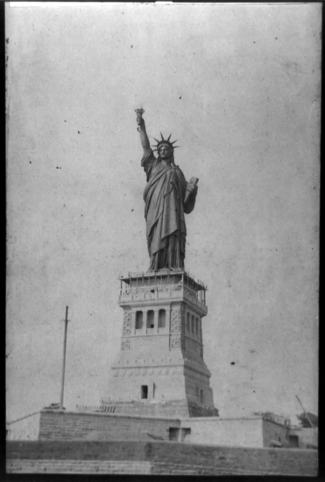
 A ≈ 30 min di distanzaStatua della Libertà
- Distanza
- 9,2 km
 TravelHub
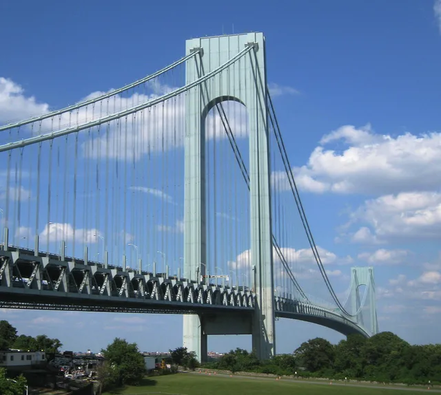
Drivers commuting between Brooklyn and Staten Island face the sole vehicular crossing over the Narrows, shaping daily regional road transit.
 Coney Island
 Brooklyn College
The suspension structure joins Brooklyn to Staten Island across the Narrows. It carries Interstate traffic across a double-deck roadbed that handles vehicular movement between the boroughs. The span carries vehicular lanes over both decks to accommodate interstate drivers bypassing Manhattan.
Early proposals for the crossing emerged under the name Liberty Bridge before public officials blocked private development schemes. Alternative blueprints included vehicular tubes and subway tracks from Bay Ridge toward Staten Island, though lack of municipal funding halted initial excavation.
Cosa scrivono i visitatori su Google Maps
Valutazione e recensioni recenti da Google Maps si caricano su richiesta.
A ≈ 30 min di distanzaStatua della Libertà A ≈ 30 min di distanzaWall Street
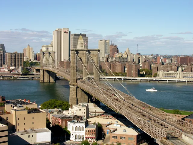 A ≈ 35 min di distanzaponte di Brooklyn
Non trovi il posto che cerchi? La funzione di ricerca comprende qualsiasi lingua. Apri ricerca