Vai al contenuto
TravelHub
Vivi

North Shore: Guida di viaggio, prezzi e alloggi gratuiti · 2026

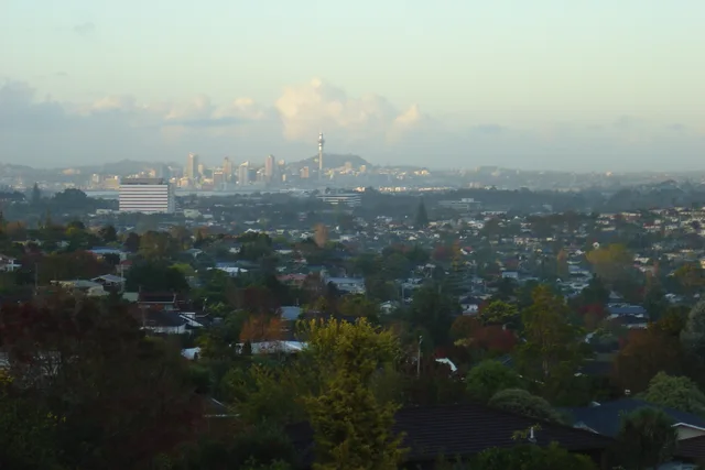
The North Shore is one of the major geographical regions of Auckland, the largest city in New Zealand. The area is defined as the northern shores of the Waitematā Harbour as far north as the Ōkura River.

North Shore, New Zealand · CC BY-SA 4.0

Mappa dei luoghi
Ora in cittàNorth Shore+16 °CNuvoloso · tramonto 19:55aggiornato 06:22
IngressoScegli un passaportoLa risposta dipende dal passaporto.
Luoghi sulla mappa5
Tasso di cambio1,78 $per 1 $NZD — la valuta del paeseal 2 nov 2026
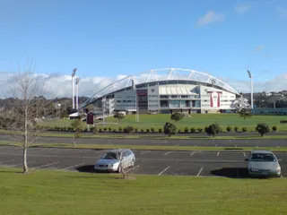
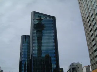
North Shore in immagini6 foto
Follash · pdm · 12 mag 2005
Ingolfson · pdm · 1 mar 2008
Simon_sees from Australia · cc-by-2.0 · 31 lug 2012
Prosperosity · cc-by-4.0 · 7 ago 2023

Arrivare e soggiornare

2 fonti · Al 3 novembre 2026
Fonte: TravelHub · OurAirports (public domain)

Visto e aspetti pratici

Scegli un passaporto

Imposta il tuo passaporto: i tempi di elaborazione, le tariffe e i documenti variano a seconda del passaporto.

Sicurezza e salute

Sicurezza · avvisi ufficialidati aggiornati al 3 nov 2026
Ministero degli Esteri britannico (FCDO)Nessuna restrizioneNessuna restrizione di viaggio in vigore.
Testo completo dell'avviso (inglese)

Updated information about global travel impacts due to escalation in the Middle East (‘Warnings and insurance’ page).

Dipartimento di Stato USALivello 1È sufficiente la normale prudenza — nessuna misura particolare.
Testo completo dell'avviso (inglese)

Exercise normal precaution in New Zealand . New Zealand is generally a safe destination for travelers. Review our travel guidance for New Zealand to learn how to prepare for a safe trip.

Fonte: UK FCDO Foreign Travel Advice · US Department of State Travel Advisory

Come arrivare

Come arrivareOurAirports (public domain)
Auckland International Airport AKL24 km dal centro
Whangarei Airport WRE120 km dal centro
Hamilton International Airport HLZ129 km dal centro

Persone che sono state qui

Dariamiata_breath · Leggi
The most beautiful places on the island (continued)

It was nearing lunchtime, so for the umpteenth time, we stopped at McDonald's, where we decided to go see the rock with a hole in it—the historical name of which no one remembered. Now I know it's Laie Point. Our next stop was one of the beaches on the North Shore (the northern coast of Oahu island), where there's a great fifteen-meter cliff you're supposed to jump off. I didn't jump, but I watched :)))) On the North Shore (that's exactly how it's pronounced as one word), we swam a lot, and the guys even went snorkeling (though, in my opinion, there's nothing interesting there in that regard). Then we played under the shower and drove on. We drove for a long time in a direction unknown to me (most likely circling the island from the west side) until beautiful yellow fields appeared. It turned out to be the world's largest Dole pineapple plantations. Did you know that 80% of pineapples are grown in Hawaii?? That's why we decided we couldn't leave without them and sent Sashka to steal some "from the patch." While he was choosing, I took photos with a rainbow, which is officially the symbol of the Aloha State. It's no wonder Hawaii is also called the "over the rainbow" state. Our final stop was the remote Ewa Beach, where we watched the sunset and ate pineapples. That's how one of the brightest days of my 2.5 months in Hawaii ended. At night, we returned to one of the beaches, lounged on the sand, and walked along the shore, but no one took photos of that.... ;)

  • Foto da un post di Daria
  • Foto da un post di Daria
  • Foto da un post di Daria+1
1post di un partecipante su North Shore — da alloggi e visti a itinerari per il fine settimana.Leggi tutto

Soggiorna più a lungo con un programma

Work and Travel, tirocini, au pair e volontariato in Nuova Zelanda: visto, invito e supporto in loco sono gestiti da CMO International Programmes.

1programma nel paese

Non trovi il posto che cerchi? La funzione di ricerca comprende qualsiasi lingua. Apri ricerca